The Setup
A cold front was dropping through Oklahoma into west Texas. Farther east, a stationary front was draped across Arkansas. The cold front was forecast to sag slowly southward, and storms were expected to develop along this cold front. We planned to get into northwestern Arkansas to get a chance to experience the storm.
The Chase
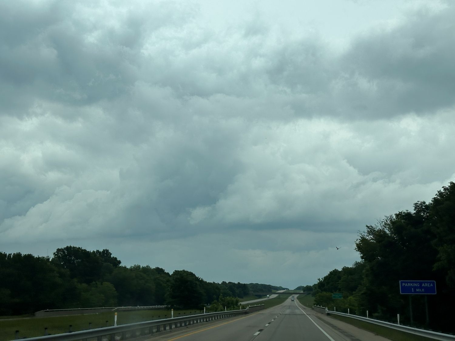
We drove eastward on I-40 toward Arkansas. We stopped at Salisaw for a fast food lunch then proceeded through Fort Smith and got about a county or two east of the state border. We stopped near Ozark. There were no storms yet, so we killed some time in the area. We stopped at a lake nearby. I did some birding there (yellow-breasted chat, black-and-white warbler, cowbird, northern cardinal, Carolina chickadee, common yellowthroat, Carolina wren, indigo bunting, Swainson's thrush, red-winged blackbird, and the Merlin bird app also detected a painted bunting and summer tanager). We changed locations to the airport after about 30 minutes. There were some tall towers and dark bases around but no storms yet.
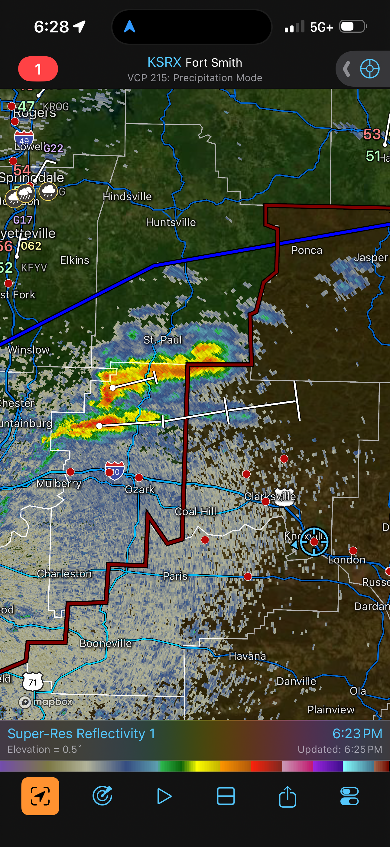
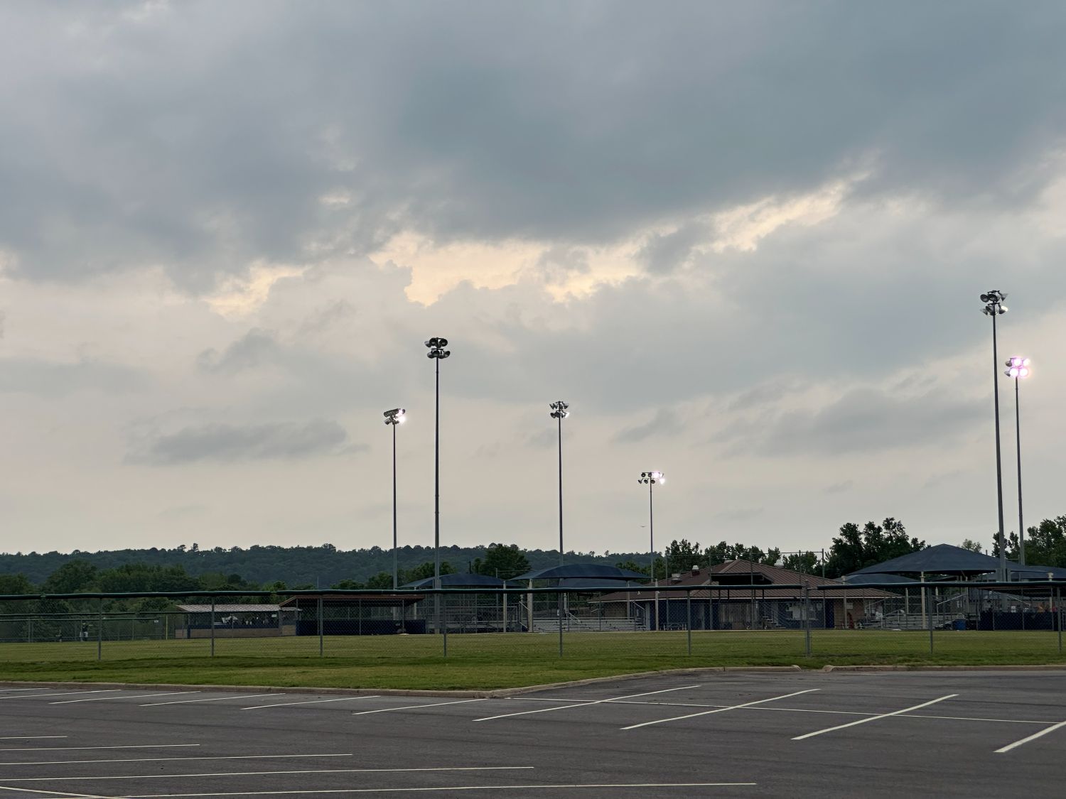
Some small, weak storms developed to our southwest and started to move northeast, but they weakened and dissipated. This kept happening, and nothing could get a top above 32,000 feet. We decided to get a little farther east to prevent the best area of lift from getting ahead of us and developing storms that we would have to move fast to catch. We got to Russellville and found any place where we could get a view back to the west to see any storms. We found a baseball park and sat there for about 30 minutes. The storms continued to our northwest, but nothing became strong or severe, although these small storms had interesting shapes on radar, and some had velocity couplets.
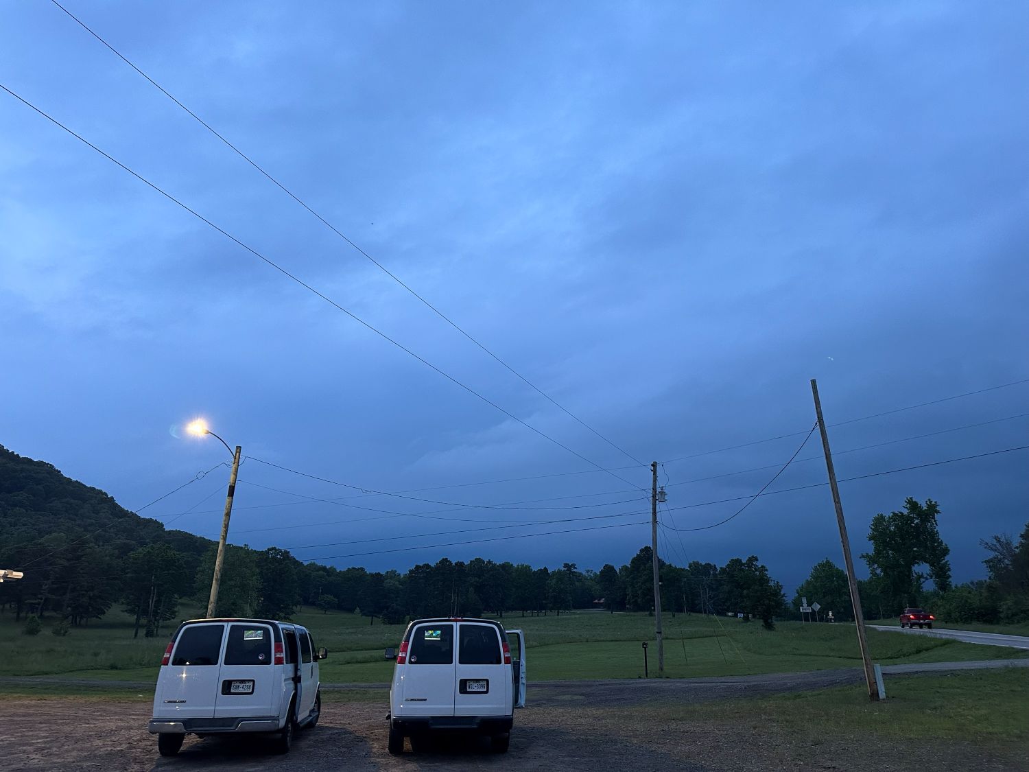
Eventually, we moved north on the storms. We ended up at Martin township (north of Dover) to see dark skies to the north. We saw some lightning flashes but no bolts or storm features were visble.
Wrap-up
What could have been a decent tornado day (5% hatched area) ended up being a bit of a dud. The storms that did develop were barely storms. It was interesting that not much developed. We'll try a little harder next time...