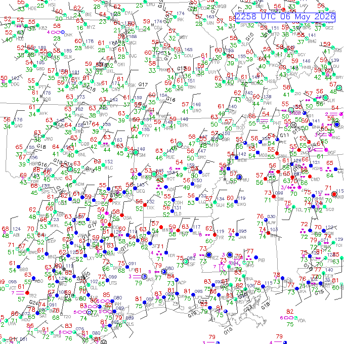
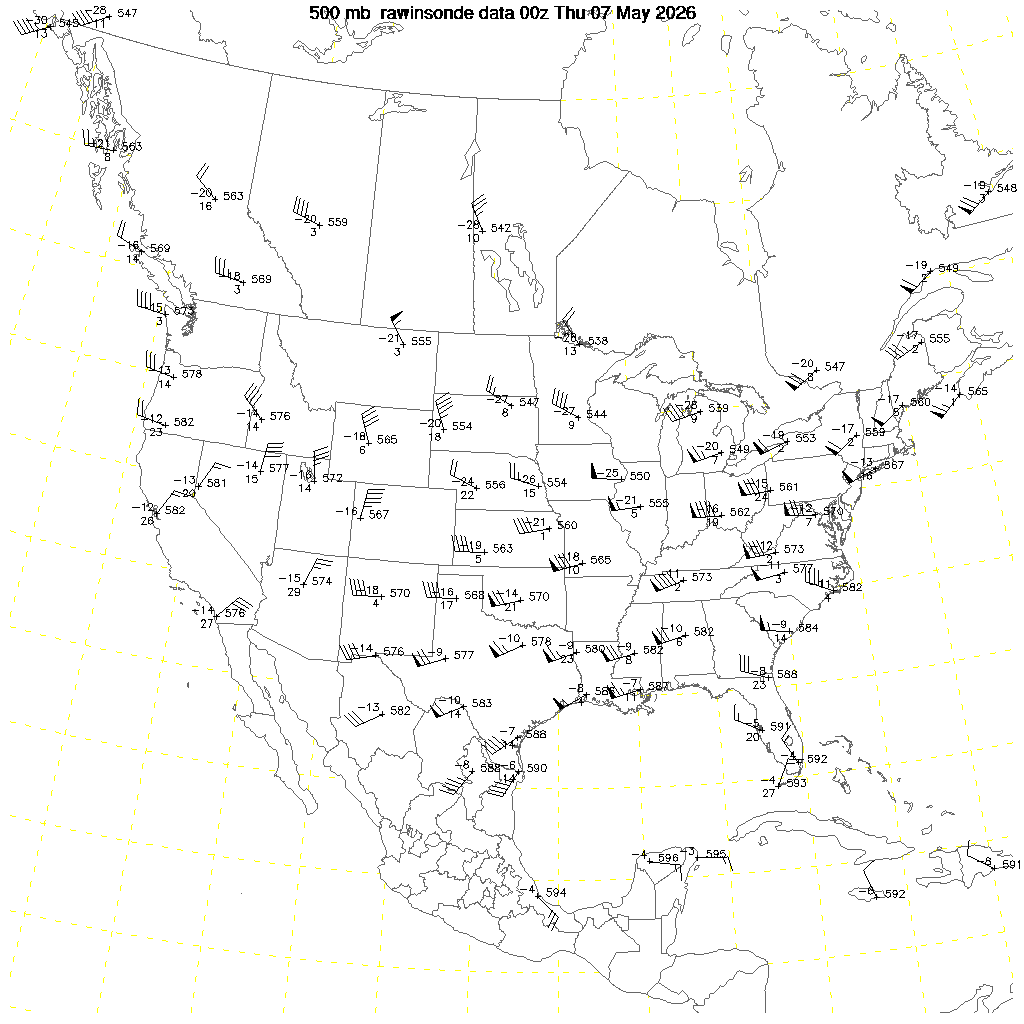
The Setup
Enhanced risk of severe storms in Louisiana and Mississippi with 10% hatched area for tornadoes. A cold front was sagging southward and some lift in the warm sector just ahead of the front generated storms from a warm humid airmass with 80/74 typical temperature/dewpoint. Shear was also strong at perhaps 65 knots of 0-6 km shear.
The Chase
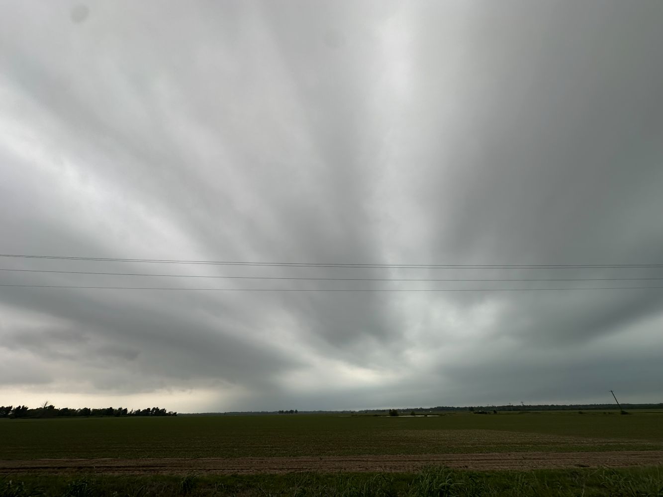
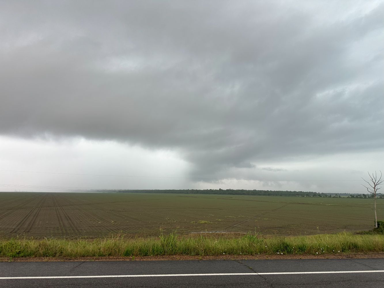
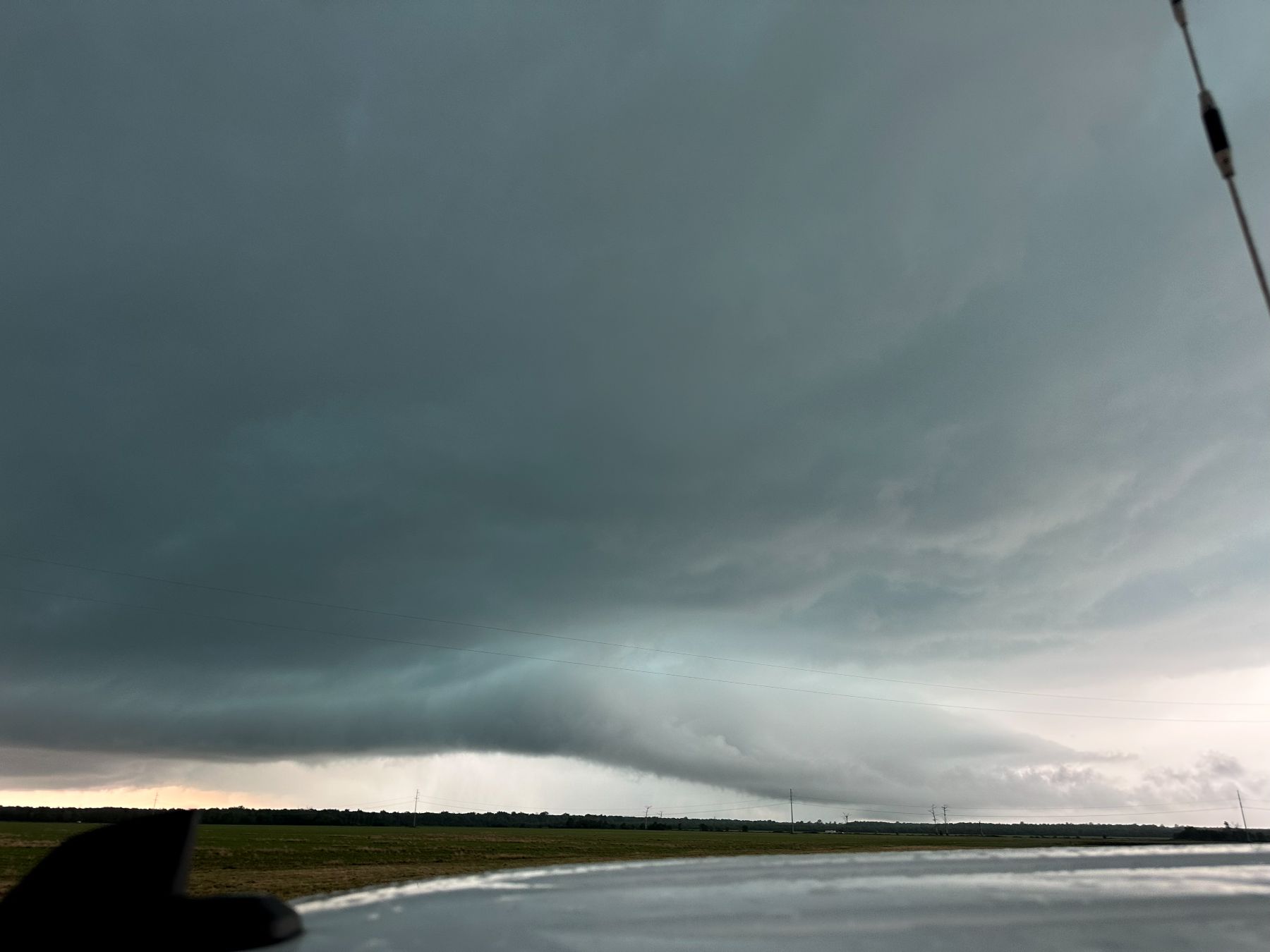
We departed Conway, AR just after 9:00 AM and essentially skipped lunch, choosing to get in front of a new storm developing near Alexandria, AR. We saw that storm around 3:30 to 4:05 PM, got a really good CG barrage, and then it got east of us. We may have seen a tornado embedded in the rain. We did not want to chase it into the trees, so we explored Natchez, Mississippi for a few minutes, and then drove back west to get the next storm.
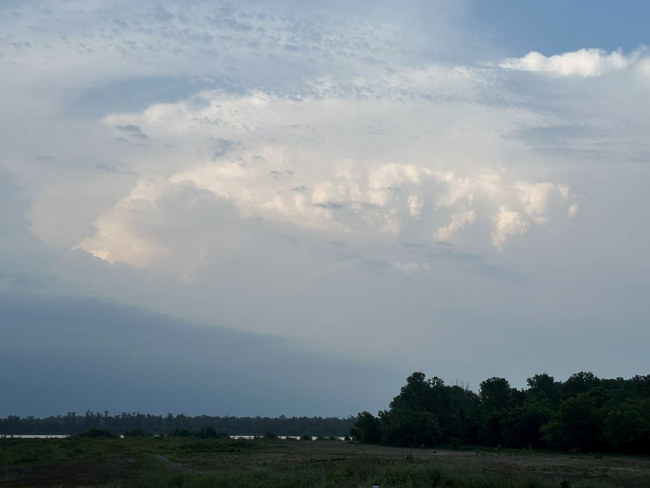
The next storm looked a bit stronger. That one had a pretty mean action area. It also had a CG barrage. Since there appeared to be no tornadoes, we let the action area pass directly over us. There were a couple interesting areas of motion at the cloud base, but there were no obvious tornadoes. As soon as that action area became obscured by rain, it started to produce tornado damage just across the river in Mississippi and produced a long track of damage.
The Tornadoes
We never saw the tornadoes. The second storm started producing them as soon as it crossed the river to our east.
Wrap-up
Overall, a great chase day! We had two supercells, both with tornado warnings. The second storm went on to produce long track tornadoes, which we did not see, but they were buried in rain. Almost no one saw them.