The Setup
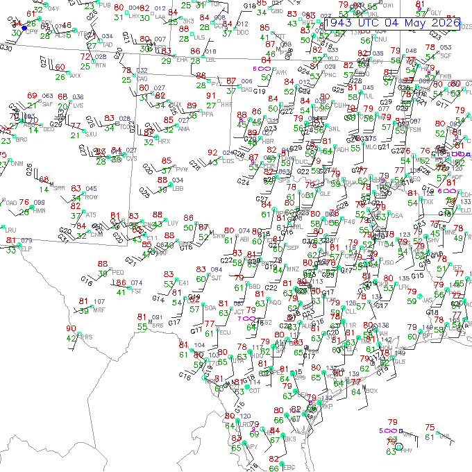
This was the first day of moisture return from the Gulf as low pressure was developing on the Great Plains, and southerly winds were in place across Oklahoma and Texas. The dewpoints started out rather low, mostly in the 40s, but they increased into the low 60s during the day. The winds were quite strong from the south, and the low-level shear would have been decent for tornadoes, but the instability and lift were lacking. This was the first day of Tour 3.
The Chase
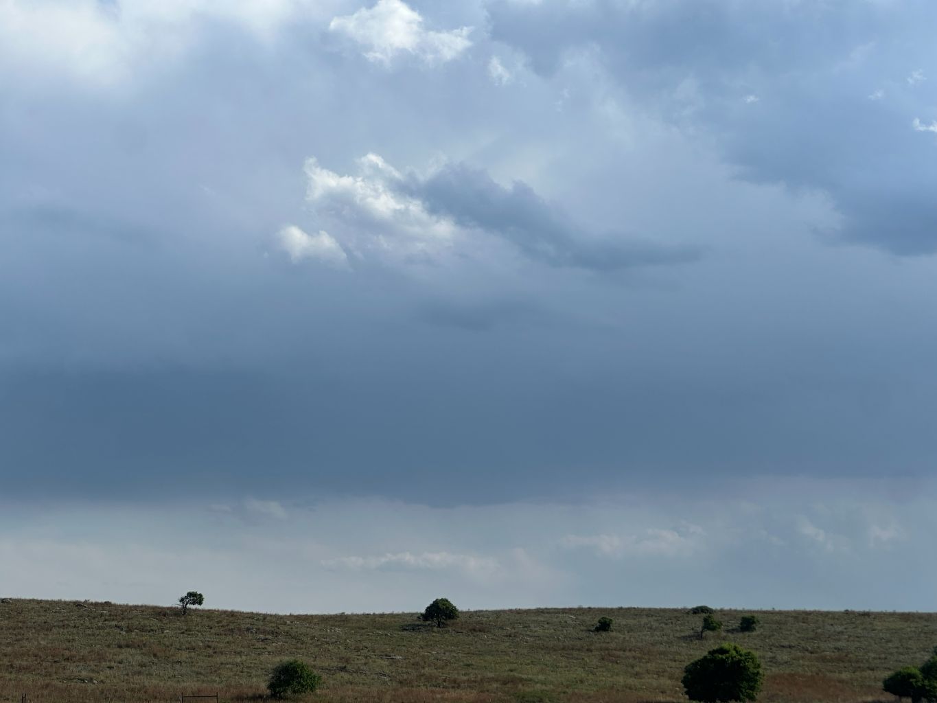
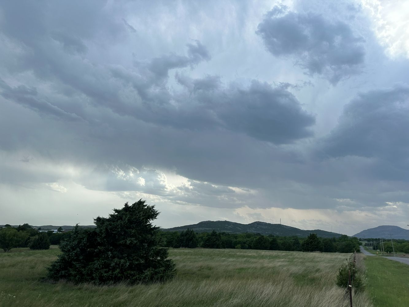
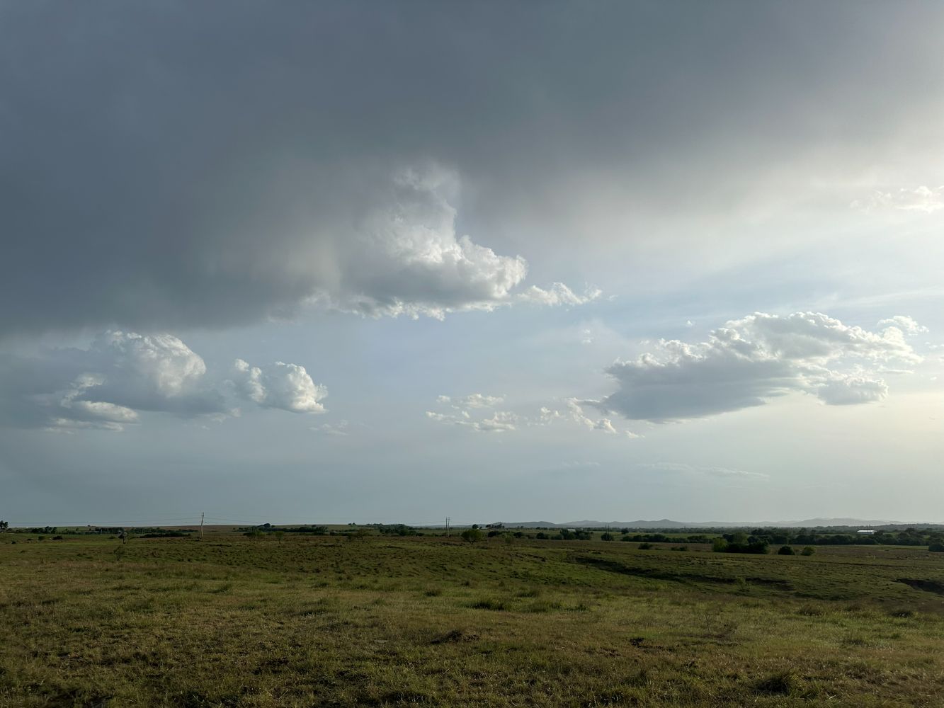
We departed Oklahoma City after our 10:00 AM orientation and headed southwest to Chickasha where we had lunch at Brandi's Cafe and Grill. We made our way haltingly into southwest Oklahoma and wound up not far from Meers. We watched some very high-based cells develop on the WEST side of the dryline. This is usually bad news for the chase. Convection that develops west of the dryline rarely survives the trip across the dryline. This is counterintuitive but true. In these cases, my hypothesis is that the lift is not present in the lowest levels of the atmosphere. It is confined to the mid-levels.
We gave up the chase when the showers dissipated and got rooms in Paul's Valley for the night.
Wrap-up
HRRR model runs had indicated a supercellular storm to cross south-central Oklahoma in the evening, but this did not happen. The development of the storms to the WEST of the dryline turned out to be a problem. I'm not exactly sure why, but development of storms west of the dryline usually does not result in good storm intercepts.