The Setup
This chase was looking somewhat similar to the chase from Friday April 17, but the cold front was looking less prominent in the forecast, and the dryline had a somewhat greater chance of producing storms (although not guaranteed).
We began the day in Great Bend, Kansas, so we did not have a long drive to get into the target area somewhere in the Wichita area or perhaps along the dryline in Oklahoma. The biggest challenge would be to decide between storms in Kansas that might be too influenced by the cold front and with a line of storms oriented too parallel to the mid-tropospheric flow and dryline storms that would have a better chance of producing visible tornadoes but might not develop.
The Chase
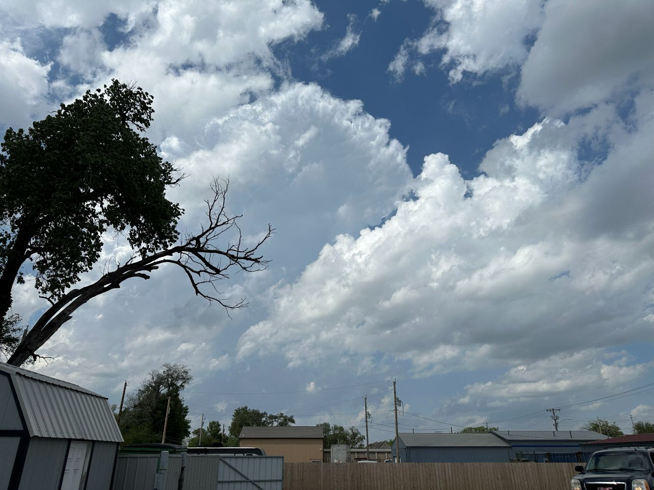
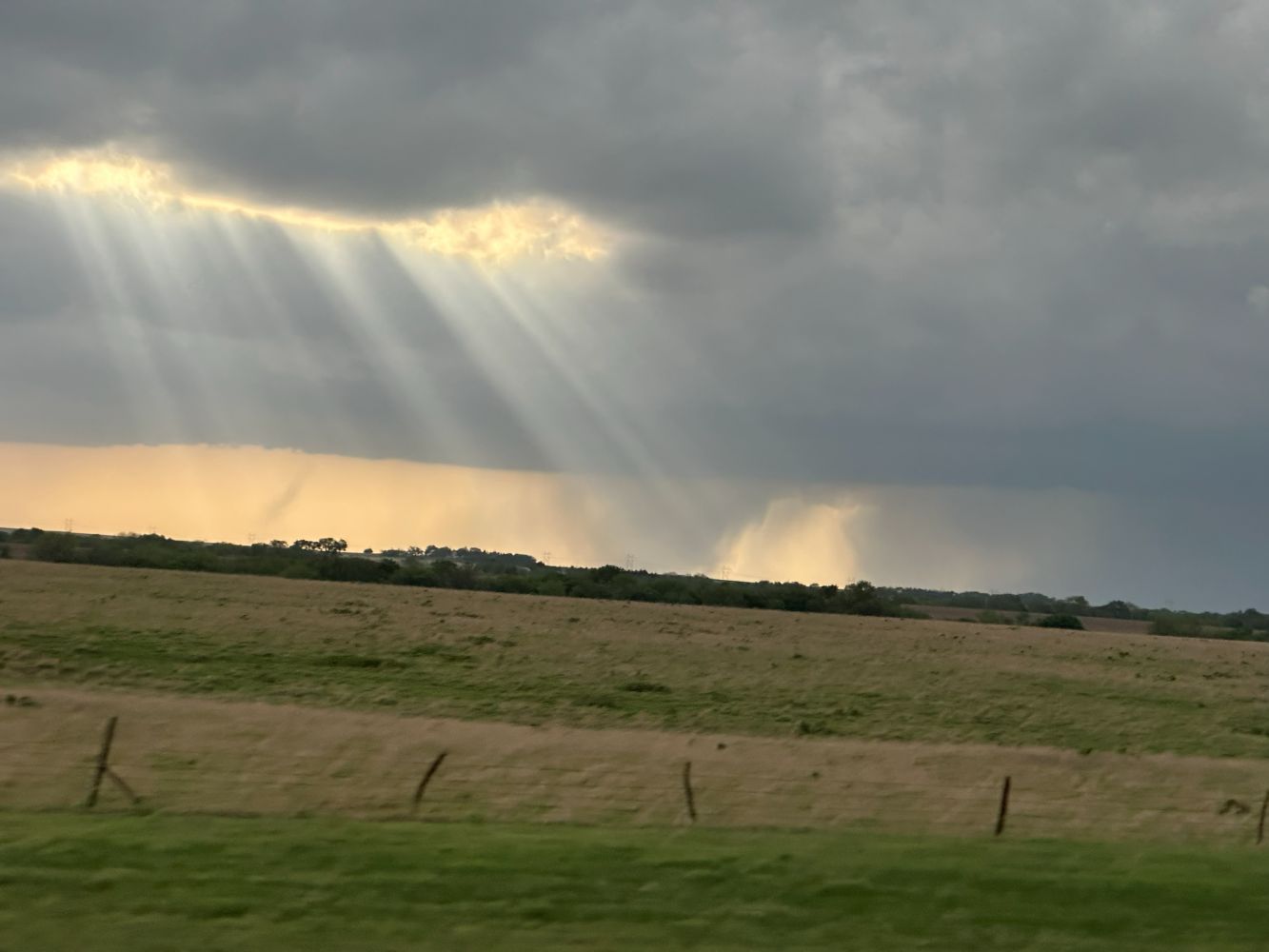
We reached Belle Plain in the early afternoon and spent a fair bit of time there, having a fast food lunch but also waiting for storms to develop. There were a lot of cumulus around this time, and eventually, some small cumulonimbus developed nearby. I thought these were about in the right area, just south of the cold front near the dryline/cold front triple point but not necessarily right on the cold front
To keep these in play, we chased the first storms northward. A healthier base became visible to our north when we were at Eldorado, so we drove north to investigate. It became warned. As we approached, the base came into view. The storm looked supercellular, but the base looked very long and linear on its southwestern flank. I was a bit worried that this would not be the most likely storm to produce a tornado. Also, between us and the target storm was a smaller updraft that had a nice corkscrew shape. Eventually, this updraft continued northward, east of our target storm, and produced a tornado near Dunlap, Kansas.
While we were driving north, dryline storms initiated.
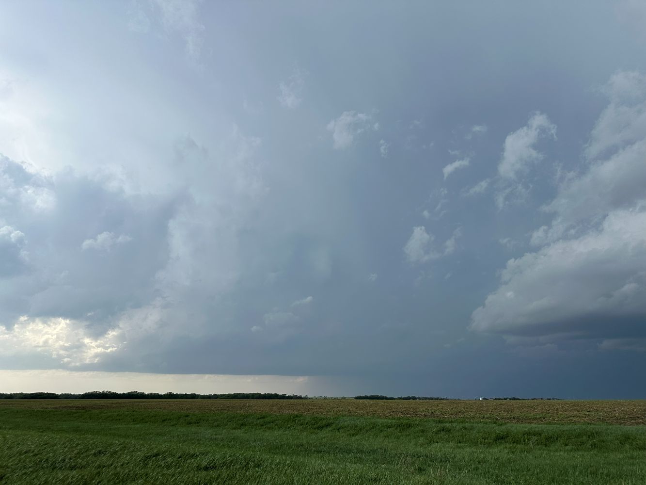
We stopped three miles north of Florence on U.S. 77 and observed the storm for about 30 minutes. During this time, the linear base to the west slowly approached us, and some small areas of rotation occasionally were visible, but nothing persistent or strong was present. At the same time, the dryline storms were intensifying. It was time to drop south. We made one more stop to look at the linear base, but the storms to the south were looking much more supercellular.
The Landspout Tornado
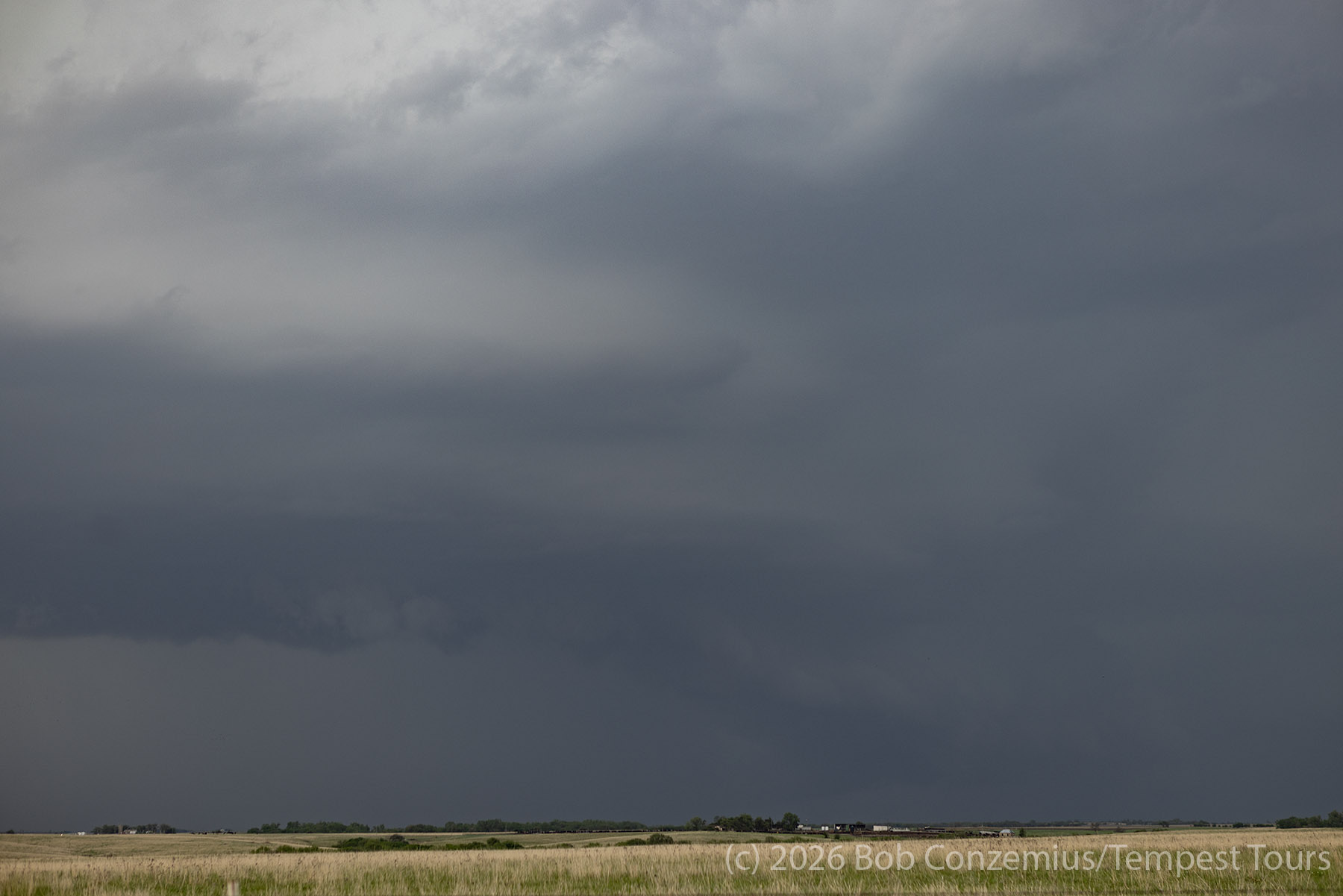
We mostly followed U.S. 77 south toward a new target dryline storm. There were two storms present, and we wanted the southern of the two. On our way south, when we were near Burns, we observed a dust plume rise up from the horizon to our west. This dust developed a dubular shape, and a small funnel was also present at the cloud base. We had a landspout tornado!
This landspout was relatively weak, but it counted. It would be the first of several that would occur under this line of storms along the cold front. We could have stayed put and seen several more of these!
However, we had a bigger target in mind. Chris Gullikson, who was running Tour 1B, was on this storm and reported that it looked ready to produce a tornado at any moment. This report amplified our urgency to get south.
Dryline Supercell
The southward drive took an hour and 45 minutes. We had been hoping it would take only an hour. During this time, the target storm produced a rather long-lived tornado near Braman, Oklahoma. By the accounts I heard, this tornado had intermittent condensation to the ground and appeared, perhaps, as several tornadoes. By the end of its lifecycle, the warnings indicated a large and extremely dangerous tornado. All the photographs and video, however, revealed a more modest (yet still sizeable) cone tornado, which, at one point, had a satellite tornado.
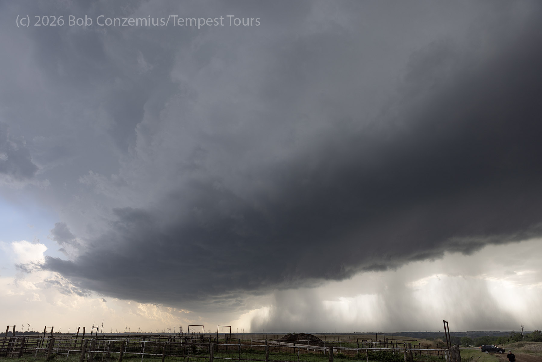
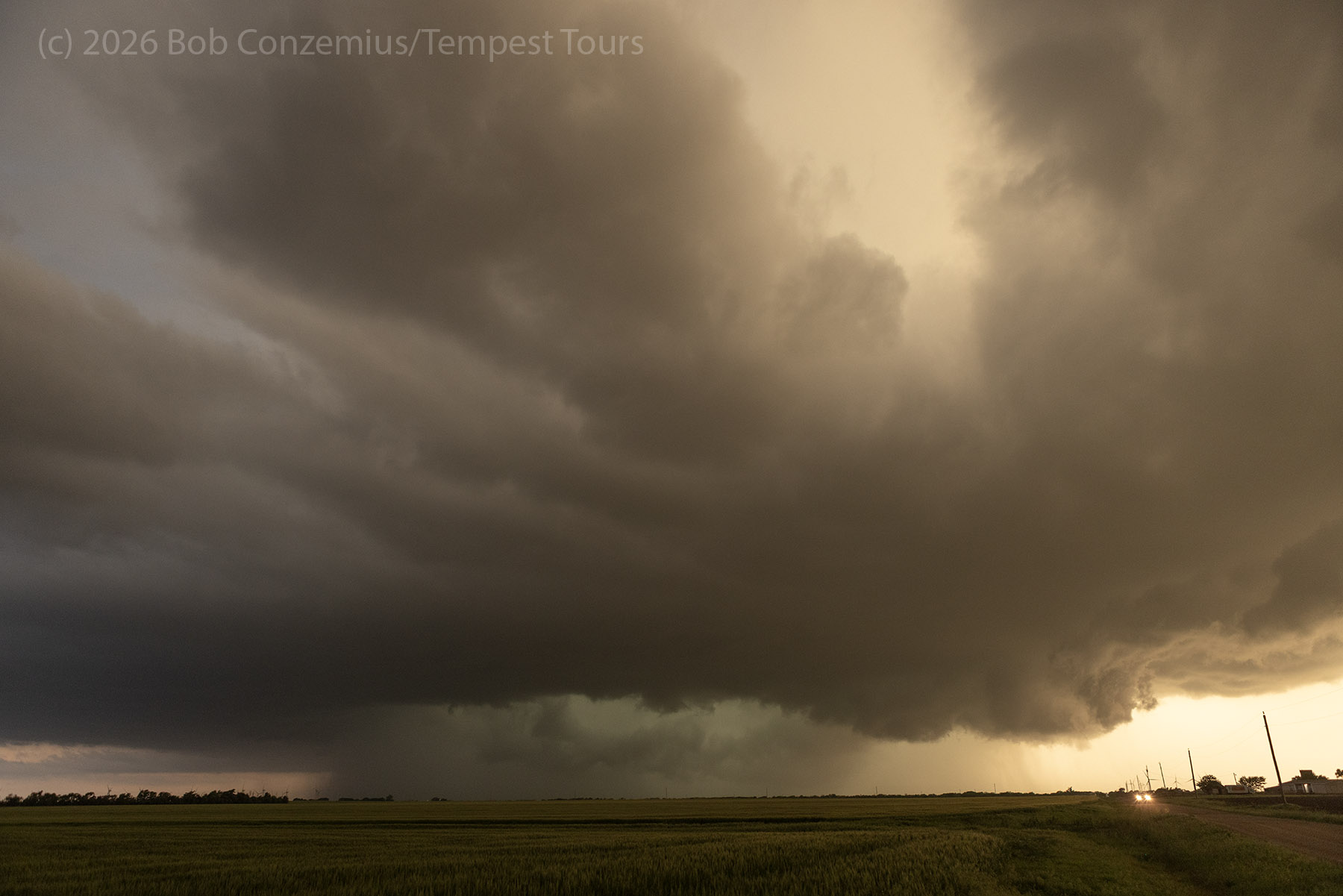
We finally arrived at this storm at Newkirk, Oklahoma. We had to drive through the forward flank precipitation core to get to a good viewing location. Once we cleared this precipitation, I saw a relatively flat base to the southwest, but when we stopped, and I could get a better view directly west, I could see the storm was now an HP storm with a lot of precipitation now filling the mesocyclone. I looked for intense rotation but could not see any. Down the road, the wall cloud had intense upward motion on its north side, but that area wasn't rotating strongly. If there was a tornado, it was likely buried in the rain somewhere, but I doubt there was one in progress when we were there. We looked at a suspicious lowering or funnel under the wall cloud, but I never could verify it was rotating.
The rain-filled mesocyclone came close to us, so it was time to move. Since there was a river to our east, we had no immediate east options, so we had to drop south toward Ponca City. This option took us directly into the heavy rain, and we stayed in heavy rain until we got to Ponca City. From there, we looked back north and saw some suspicious areas in the rainy mess to our north as it was now dark, and lowerings were revealed primarily by lightning flashes. Indeed, a tornado was reported near Newkirk after we were there, but we were now twelve miles south of Newkirk, and I'm not sure the tornado report time really aligns with our observations. Since I was driving at this time, I have no pictures from which to verify the exact time.
We decided to bed down in Ponca City. We grabbed dinner at Braums and stayed at the Comfort Inn and Suites, Ponca City.
Wrap-up
Overall, it was a great day of chasing, and we were able to get the guests a landspout tornado. In retrospect, I would have committed less strongly to the northern target while dryline storms were developing. Chris Gullikson had started northward, but when the drying began exploding with convection, he turned around. He got to the Braman storm and saw the entire life cycle of that tornado. Both Tour 1A and Tour 1B had happy guests.
The most substantial tornado of the day came after the Braman tornado. An additional storm developed rapidly after 7:00 PM and moved over Enid, Oklahoma. A strong or violent tornado hit the area, destroying several homes and affecting communities around Vance Air Force Base. Few chasers actually got to this tornado, but Daniel Shaw (from Australia) captured a spectacular image of it from the west.