The Setup
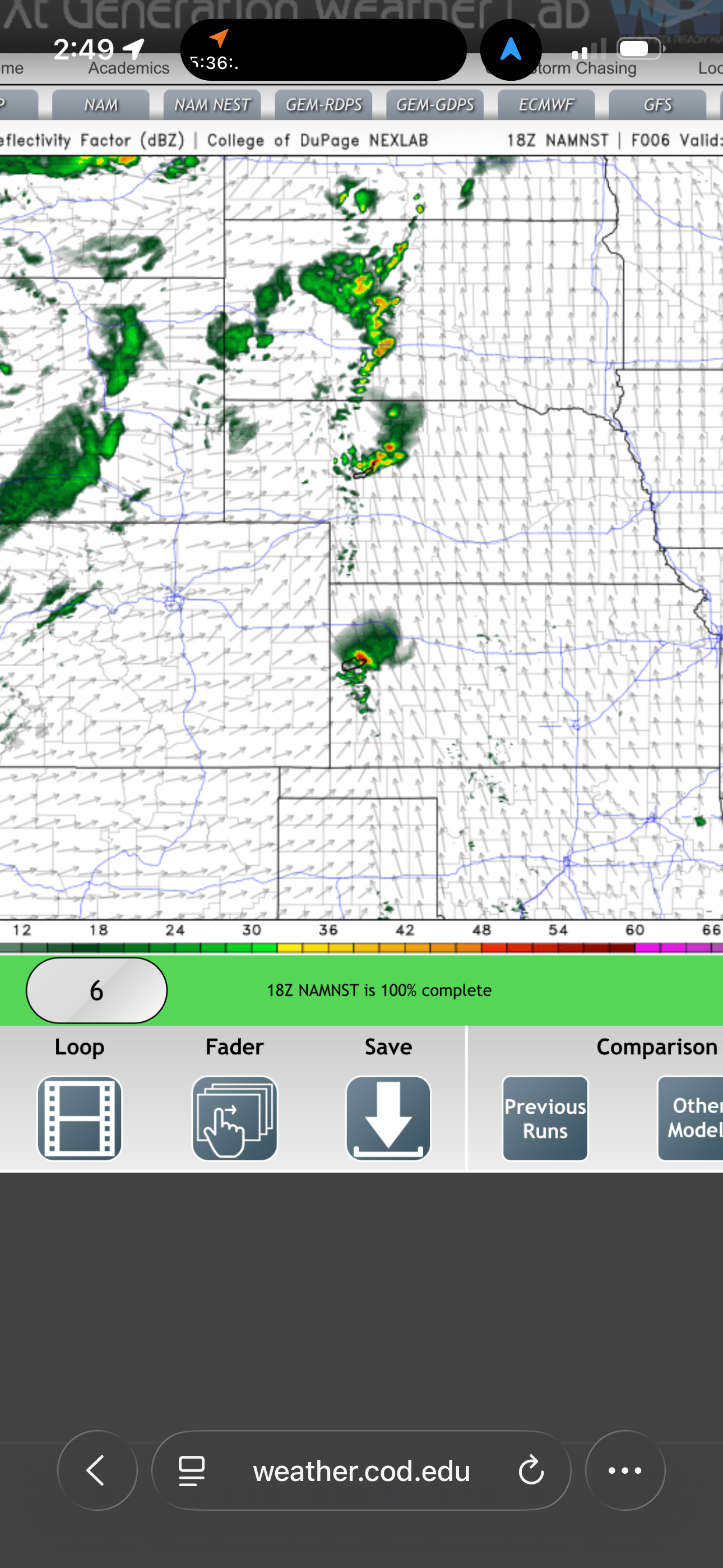
A dryline was developing near the Kansas/Colorado border. Moisture on the east side of the dryline was not particularly plentiful, however, and the probability of a severe storm was rather limited.
HRRR was showing dryline storms developing along the Kansas/Colorado border, so we left the Best Western Guymon Hotel & Suites at 10:29 AM headed for the dryline.
The Chase
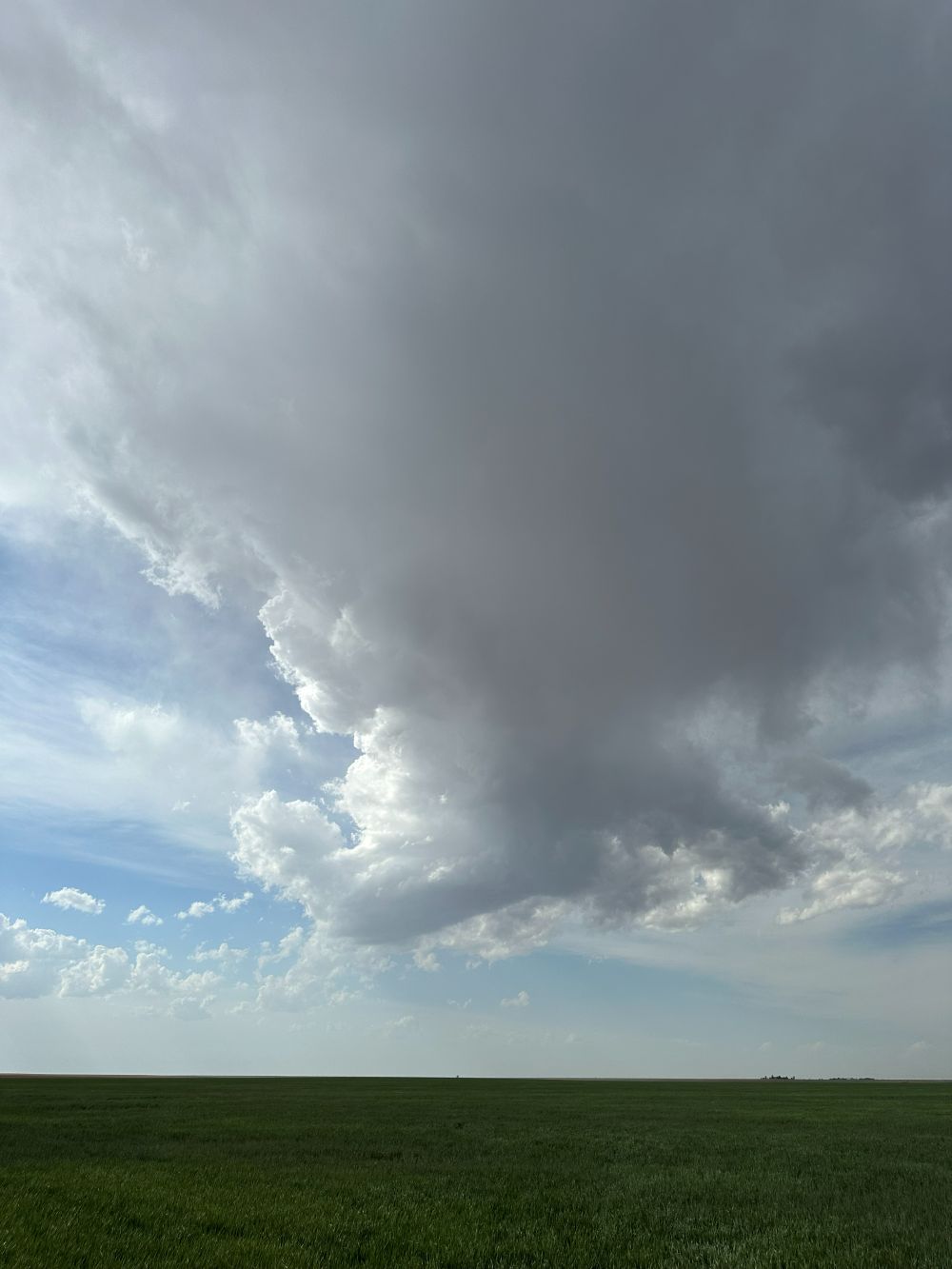
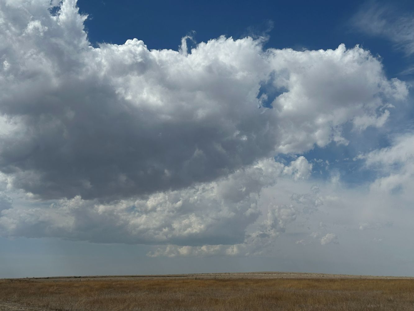
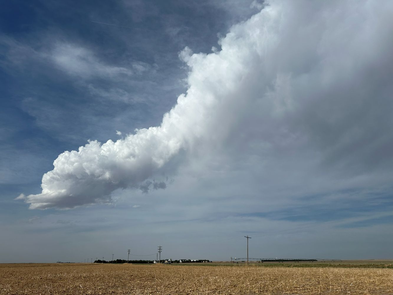
The storms really never fully developed. From late morning onward, occasional clusters of towering cumulus developed along the dryline, grew into showers, then dissipated. We patiently waited until very late afternoon when the final cluster developed and then dissipated. We took a few pictures.
Wrap-up
Overall, we didn't expect much, and that's about what we got. We drove east to Scott City and enjoyed dinner at the Peking Garden Restaurant. We continued to Great Bend and stayed at the Baltzell Motel overnight.