The Setup
This was forecast to be a significant severe weather day from Oklahoma to Wisconsin. The SPC issued an enhanced risk of severe storms in their Day 1 outlook. A large scale trough had settled into the western U.S., and this was the last day it would affect the Plains states because it was lifting out and moving east. An upstream ridge was forcing cold air into the northern and central Plains, and it looked like the cold front might be the primary focus for storm development in the central and southern Plains. The storms here would possibly be too lined up parallel to the mid-tropospheric flow to remain discrete. A dryline was present, but enough large scale subsidence existed in its vicinity that initiation of storms was doubtful
Farther north, the warm front was oriented more orthogonal to the mid-level flow, and the wind and thermodynamic profiles in the model forecast soundings appeared supportive of tornadoes. Thus, the tornado risk was highest in the northern portion of the outlook. It might have been tempting for chasing the northern target, but there was enough of a risk in Oklahoma and Kansas to keep us from making that long of a drive. This was the second official day of Tempest Tours' chase season.
The Chase
We left the Sleep Inn and Suites in Shamrock, Texas at 9:30 in the morning and drove east on I-40. We stopped at Clinton then headed north toward Seiling, Oklahoma. We stopped in Seiling for lunch and made plans to stay there until storms initiated. It didn't take long for them to fire up.
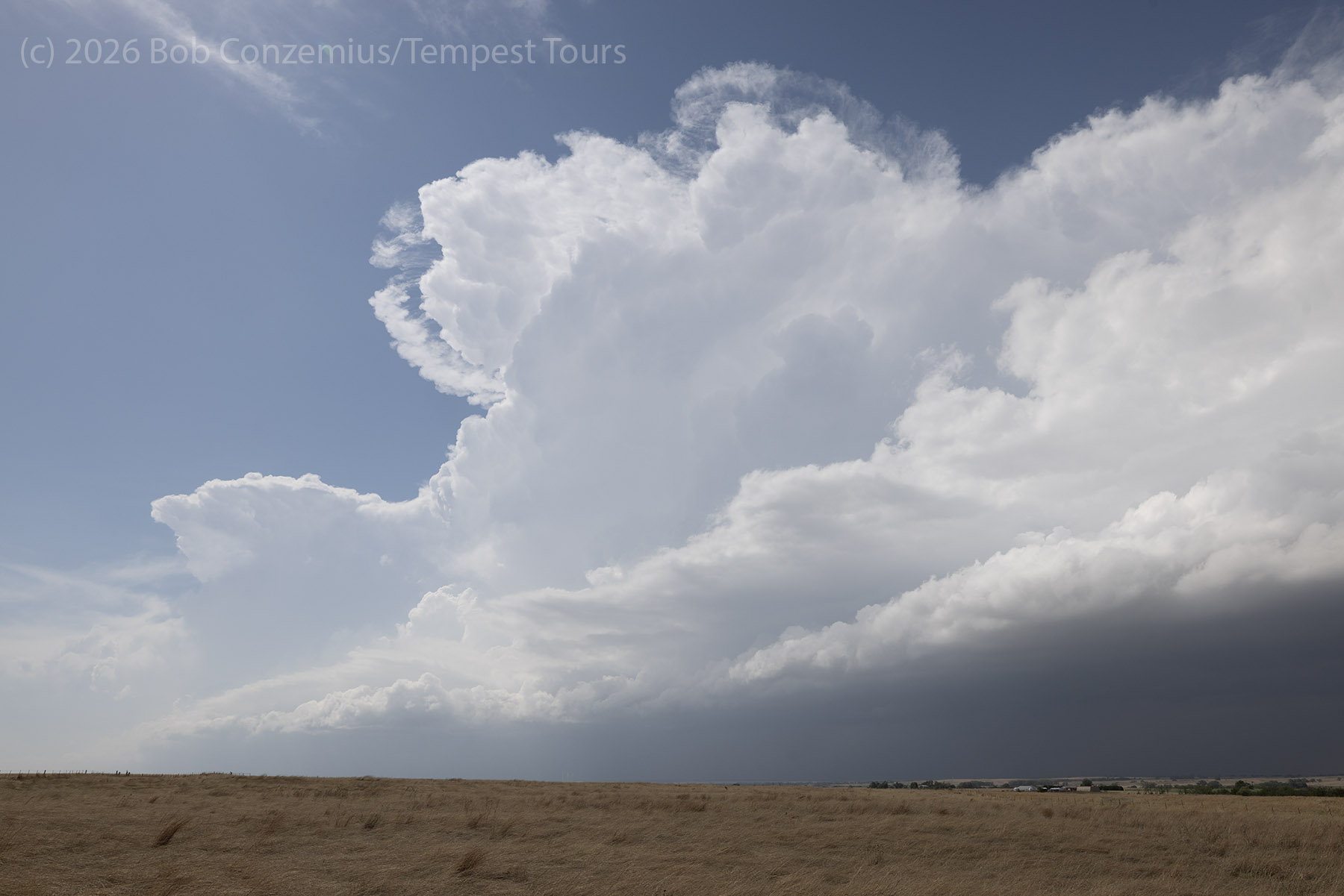
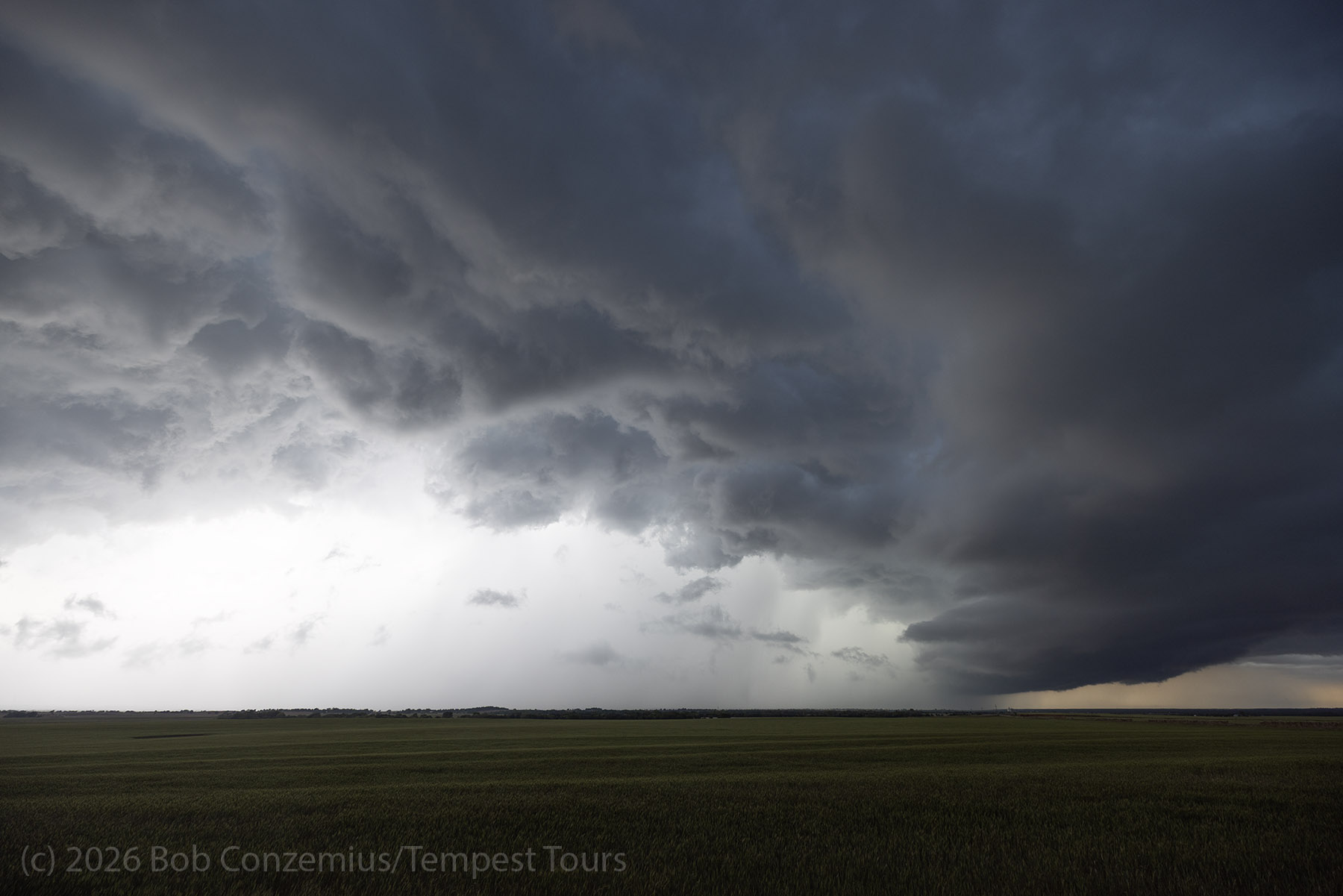
One storm initiated and struggled on the dryline. It appeared this storm formed from a gravity wave or bore type feature that propagated southward through western Oklahoma. While the storm started to look good initially, it was not meant to last long, and it died after about an hour. It appeared the lift along the dryline was not sufficient to get robust storms going today
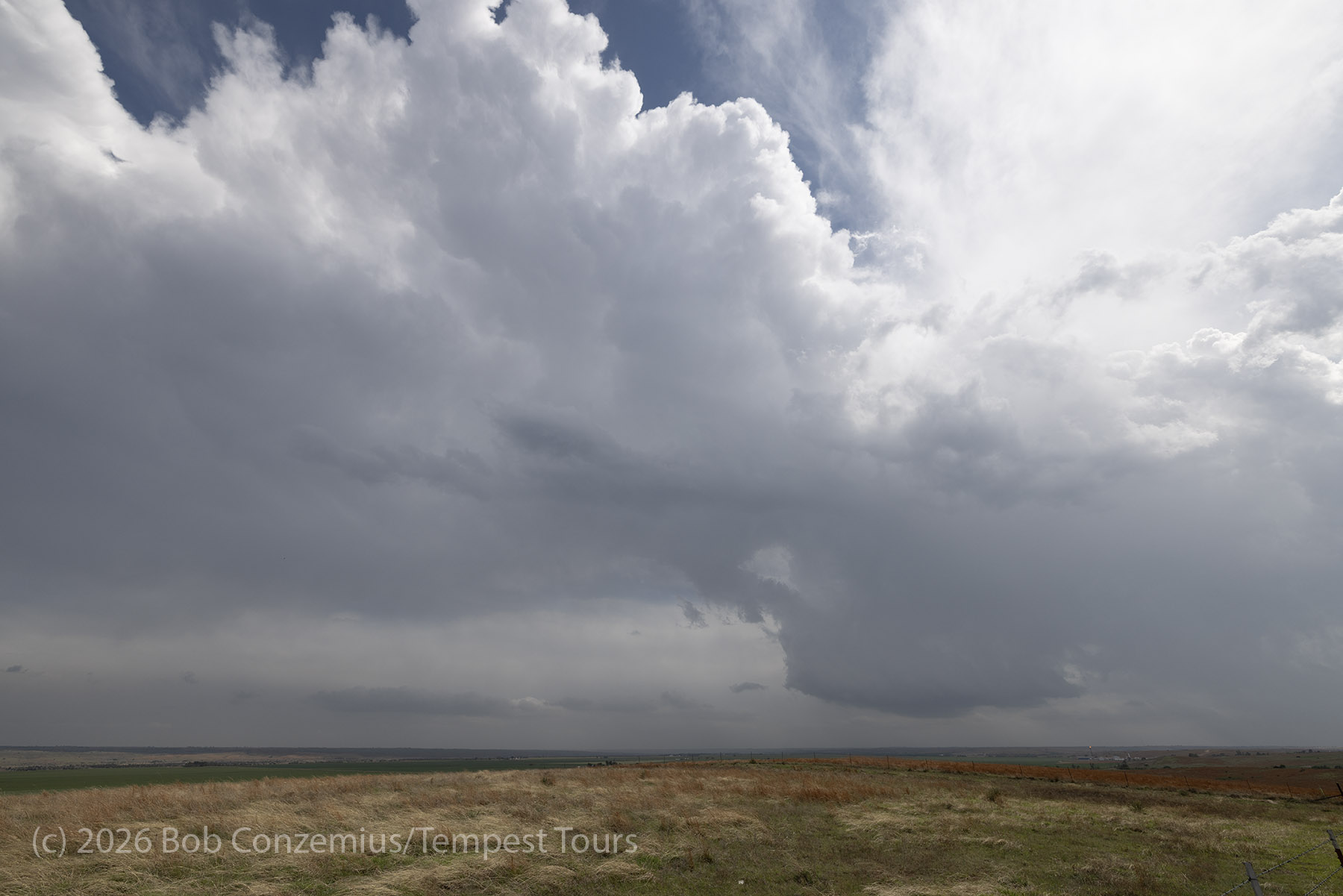
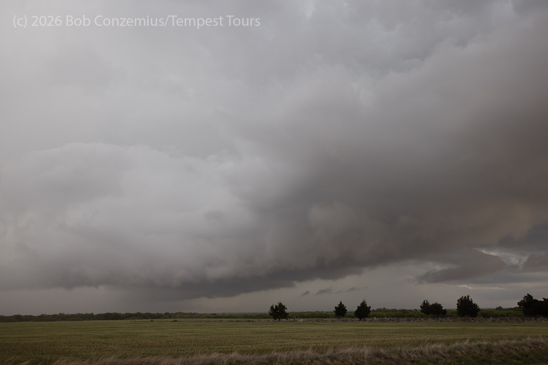
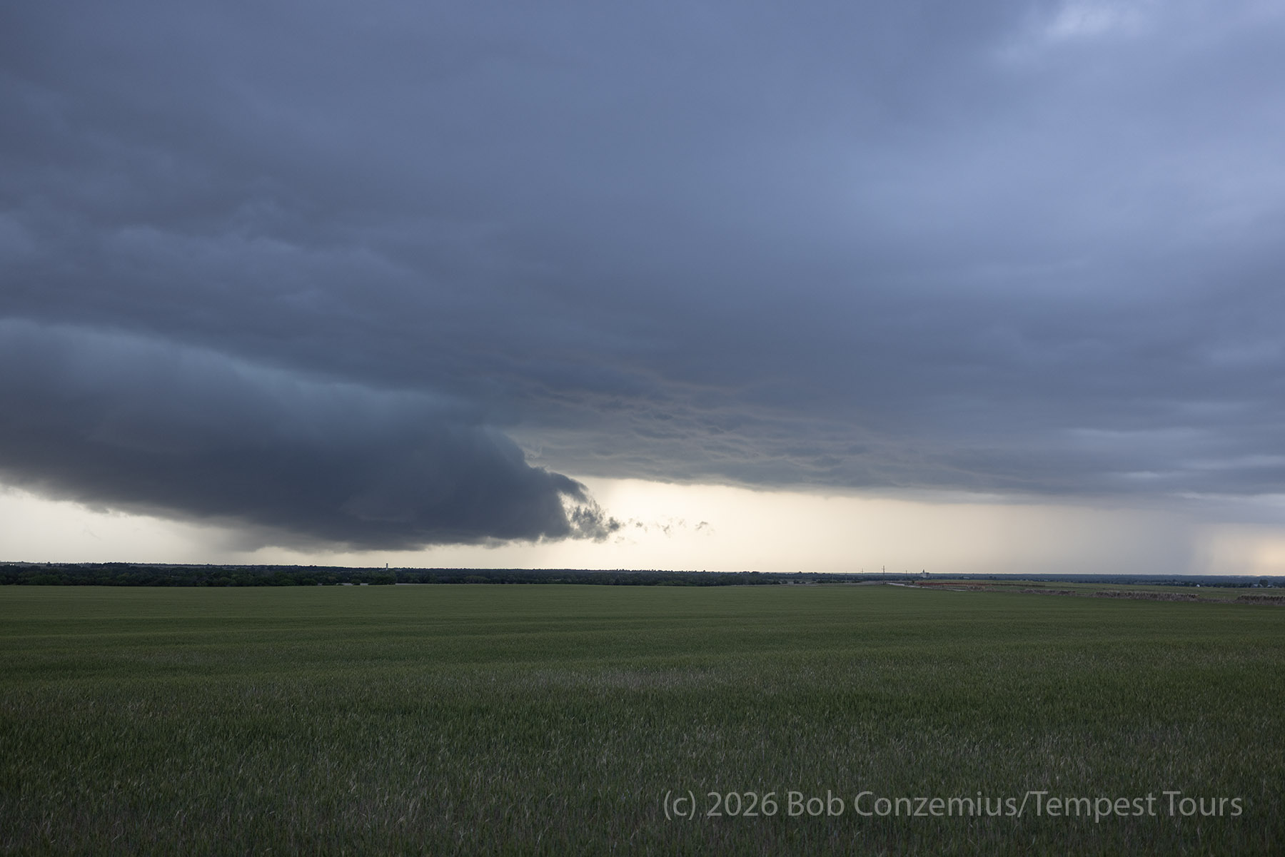
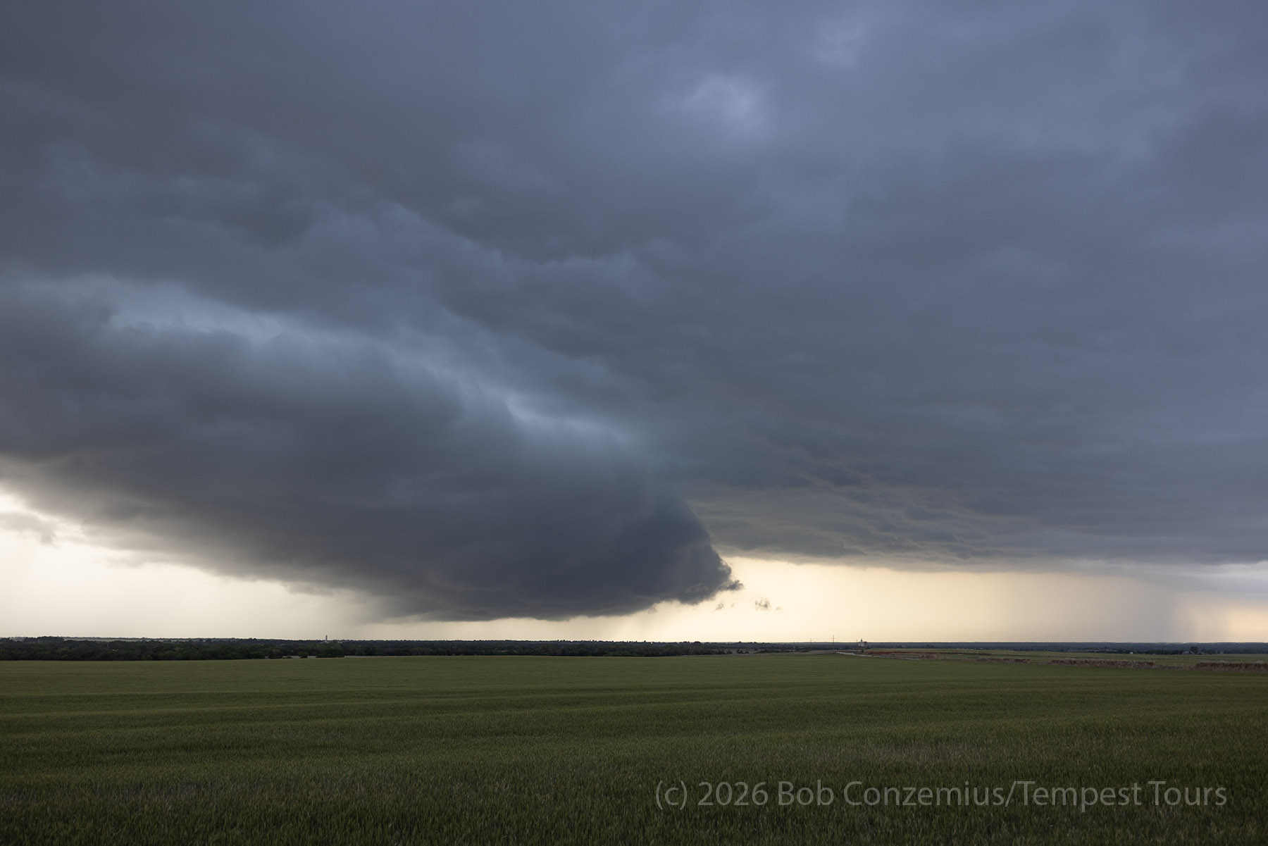
We saw storms developing farther north along the cold front. We blew these off initially, but when we realized the dryline play was not going to work out, we drove north to intercept these cold frontal storms. Immediately, we could see a shelf cloud along the leading edge, and the storms looked very linear on radar. Nevertheless, enough rotation formed aloft that there were TVS signatures on GRLevel3 (I have learned to mostly disregard these TVS signatures and rely more upon super-resolution base velocity).
We played around with some of these storms north of Clinton, up to aoout Seiling.
Outflow-Dominant
The storms would form along the western end of the cold frontal line, then move east along the front and strengthen. One of these apparently produced a tornado near Ponca City, which we missed because we weren't moving assertively eastward. Generally, everything else was elevated over the top of the cold front.
Wrap-up
The best tornadoes of this day ended up in Minnesota. Some fellow Minnesota chasers I know got some fantastic video near Rochester, Minnesota late in the day. We just didn't have good options in Oklahoma because of the cold front orienting itself too parallel to the mid- and upper-level flow.