The Setup
A significant 500 mb longwave trough was established in the western U.S. To the east of this trough, warm, humid air was moving northward from the Gulf. Low pressure was moving into northern Kansas, and a warm front and outflow boundary were draped across the north central and northeastern part of the state. HRRR showed storms developing just north of Concordia and rapidly becoming supercellular before moving east-northeast into northeastern Kansas and southeastern Nebraska. The Storm Prediction Center issued a moderate risk for severe storms across north central and eastern Kansas, including the risk of some strong tornadoes.
The Chase
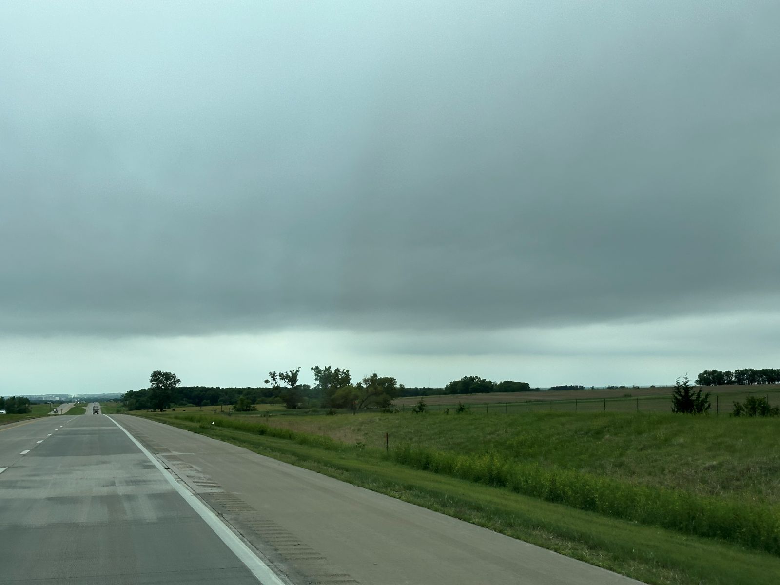
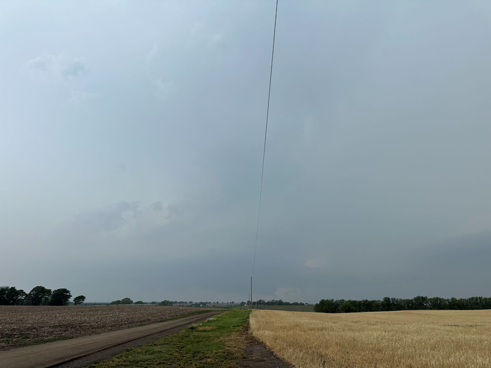
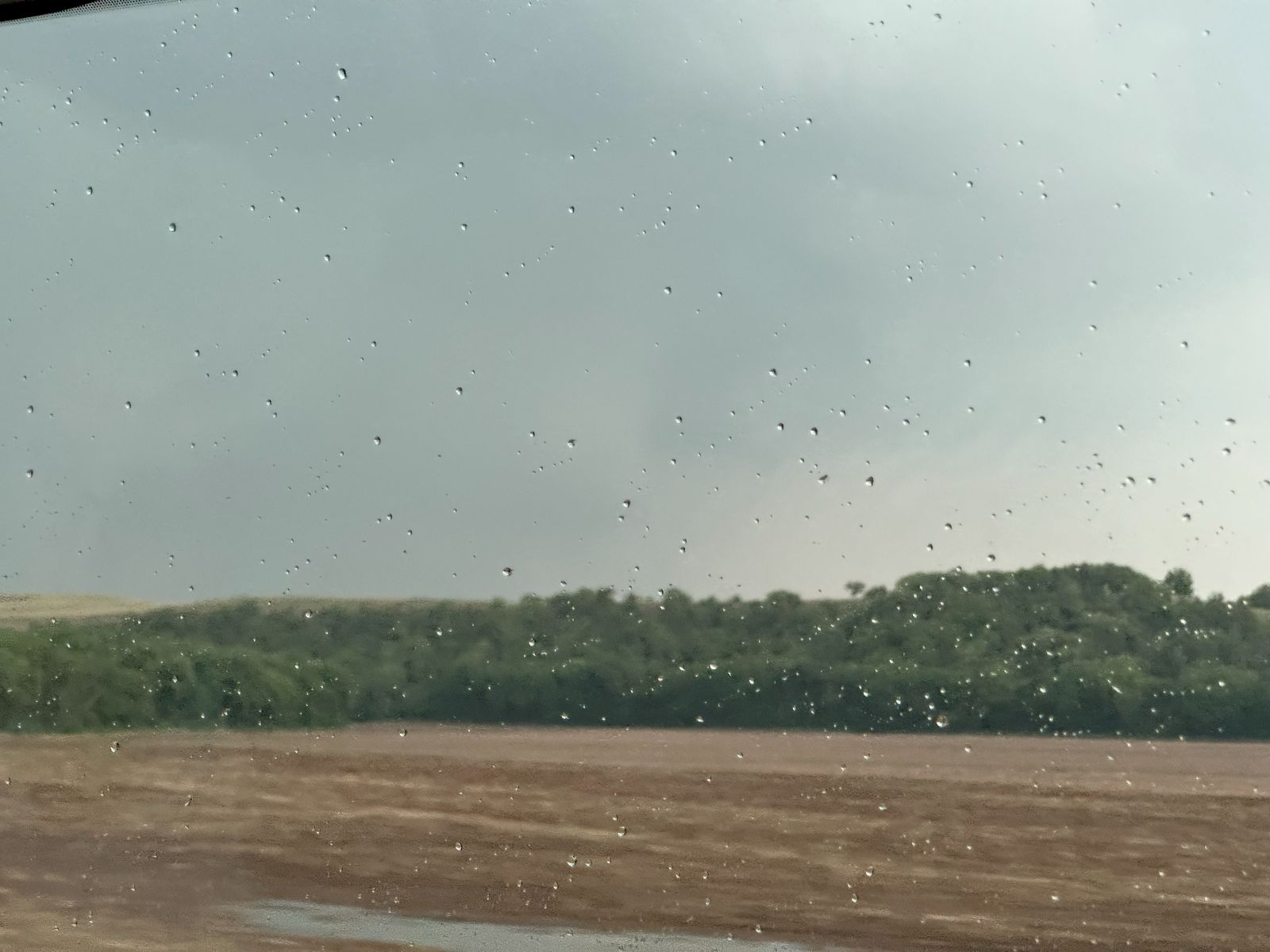
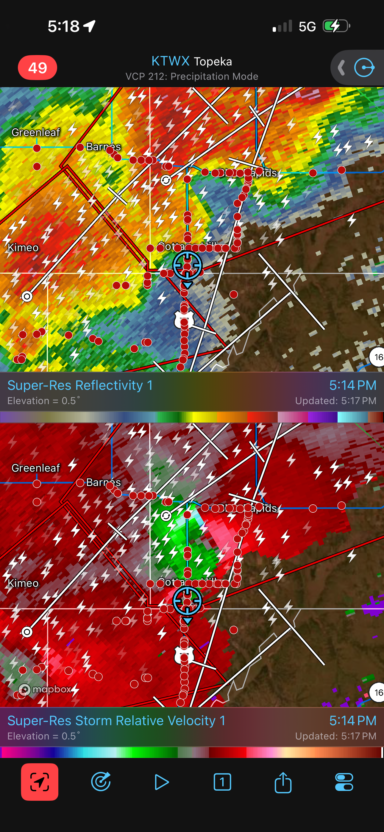
The target area wasn't too far away from our starting city of York, NE. We drove a couple hours directly south under a low, stratiform overcast and some occasional drizzle. At Concordia, we began to break out of the stratiform clouds and saw towering cumulus ahead. The warm front was moving northward, so we turned around and drove a few miles back north on U.S. 81. There, we watched as storm developed over the next couple hours nearby, including up and down the dryline to our west and southwest as well as along the warm front to our northeast. A cold front was also moving in from the northwest, and some of these storms were undercut by this front.
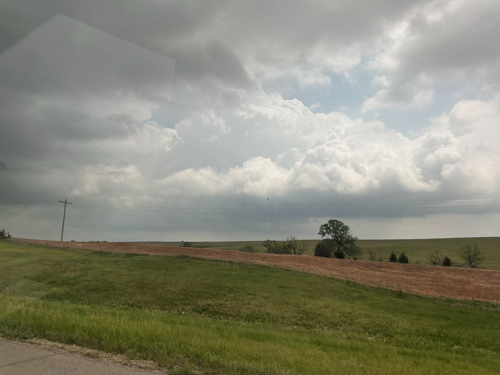
I was hoping to stay northeast, but none of the storms on that side became dominant. Rather, a dominant storm grew west of Minneapolis. Continuing to hope for better development along the warm front, I moved northeast then east on Highway 148, but there were no larger cells. Additionally, skies were really hazy, and it was difficult to see storms beyond four or five miles away. Eventually, I gave up and decided we needed to be on the southern storm. We turned south on Highway 15 through Linn and drove to Clay Center. If we continued west on 24, we would see the storm only briefly before having to turn around and zig-zag back northeast, so I opted to drive back north on 15 a few miles, pull over, and wait. This kept us out of the heavy chaser traffic.
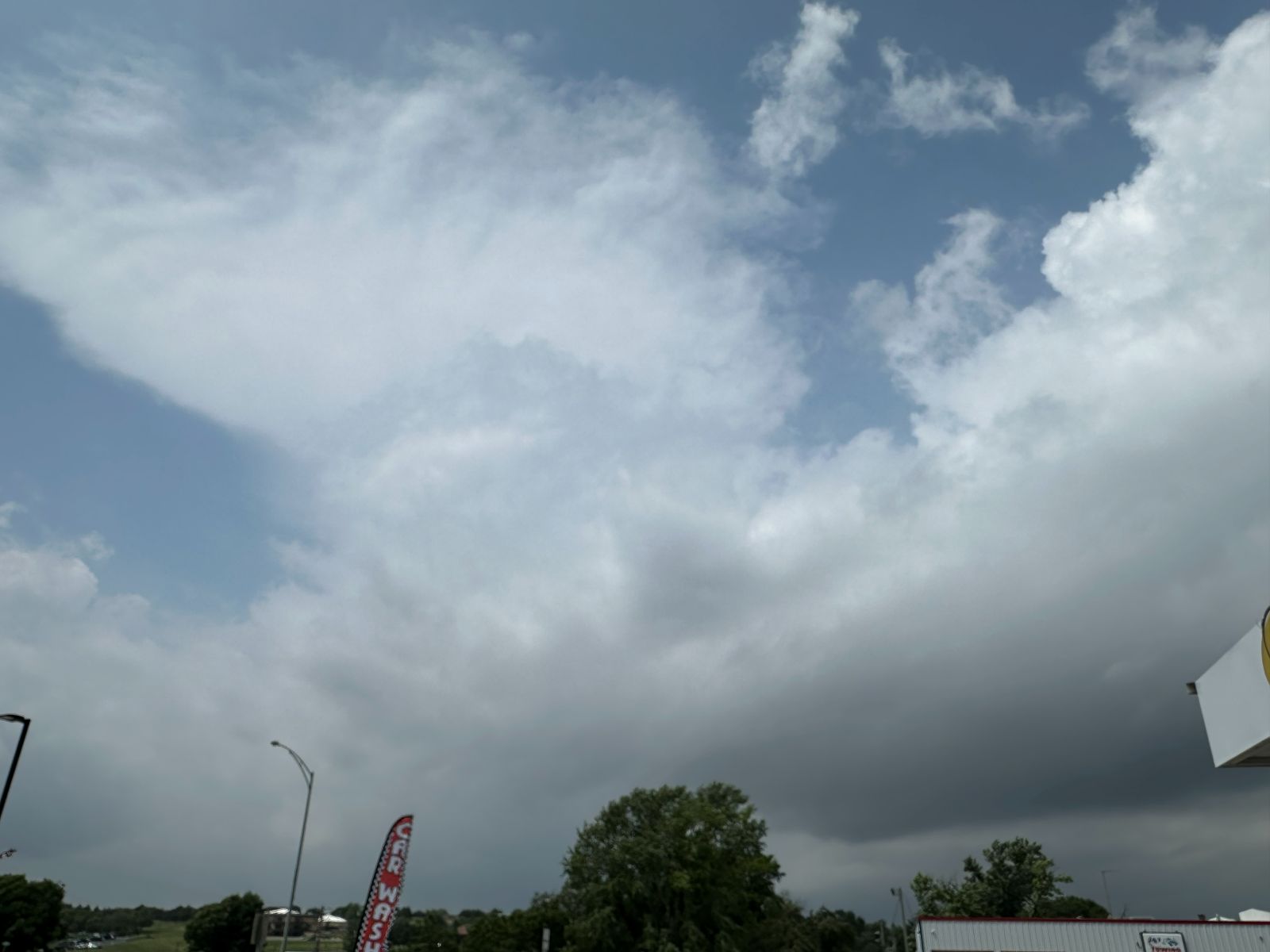
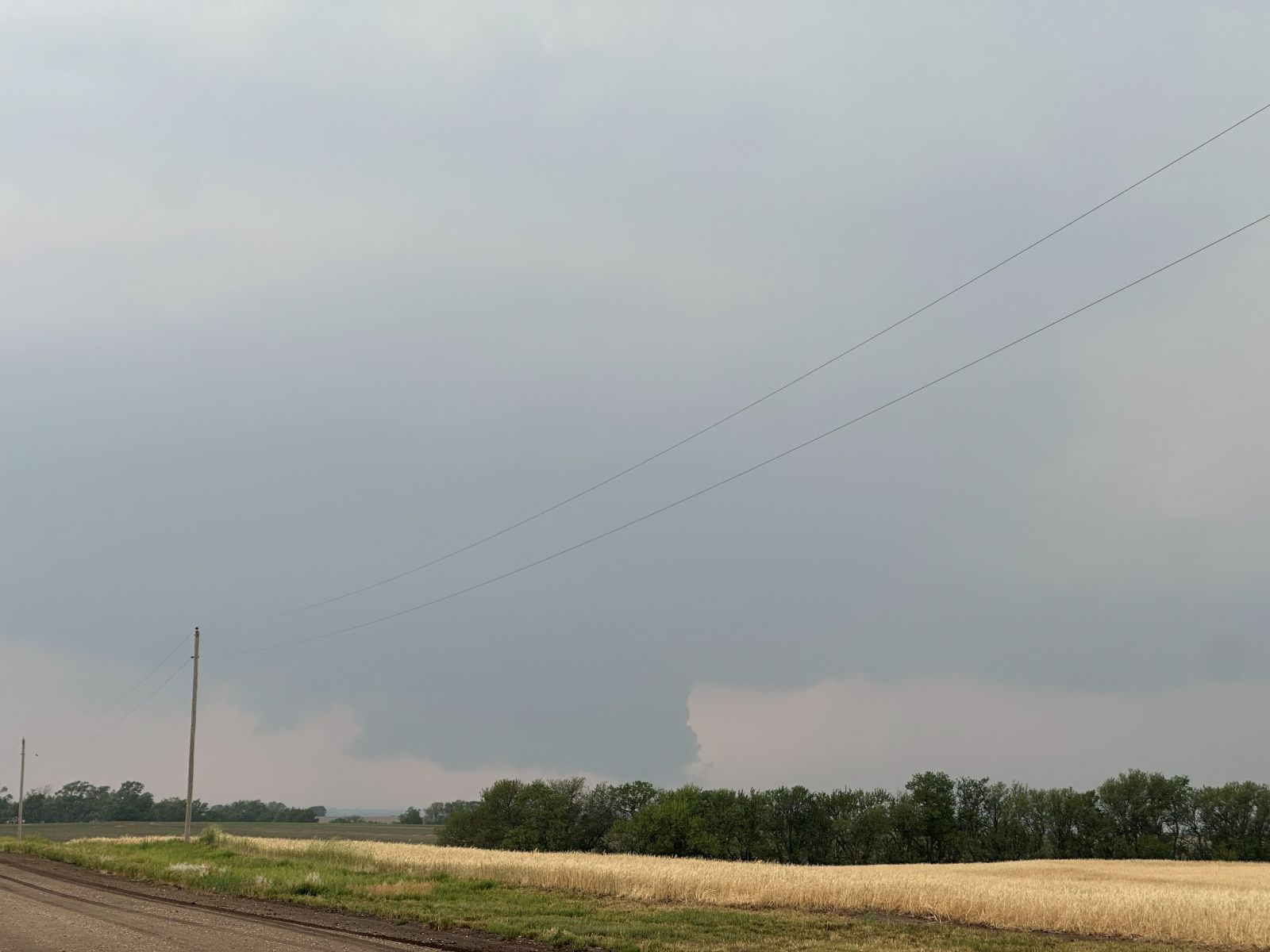
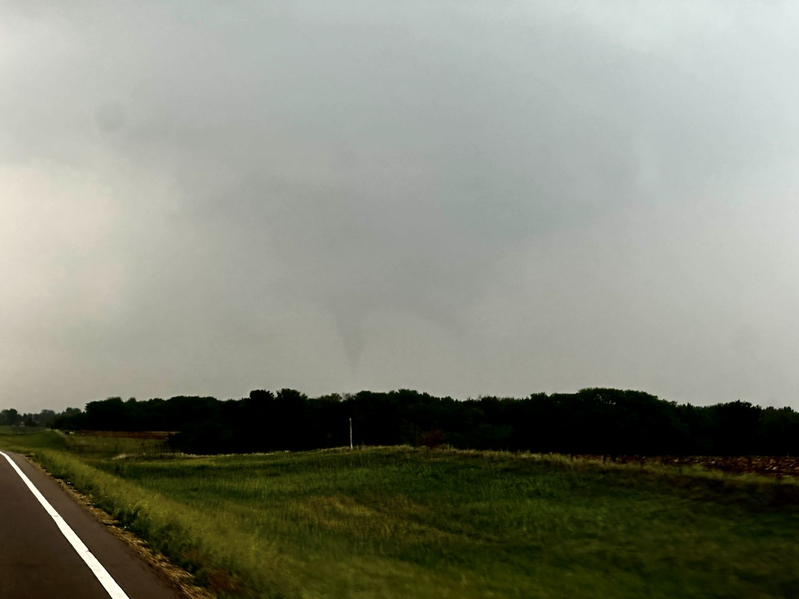
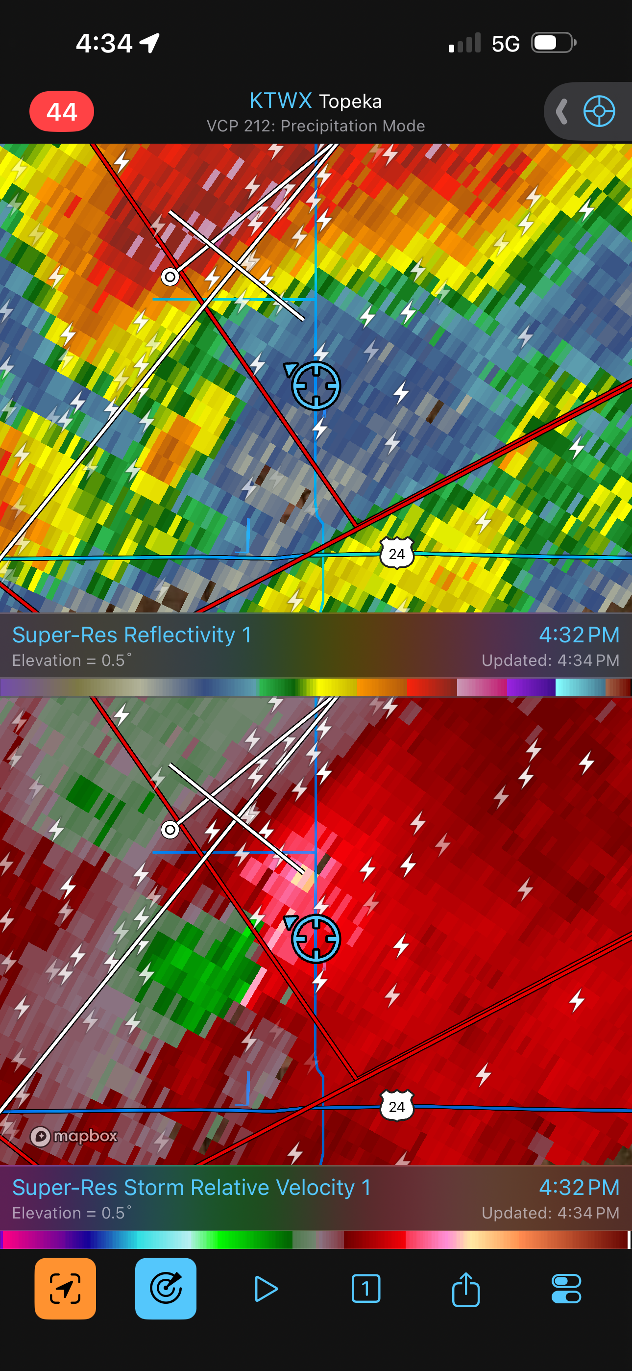
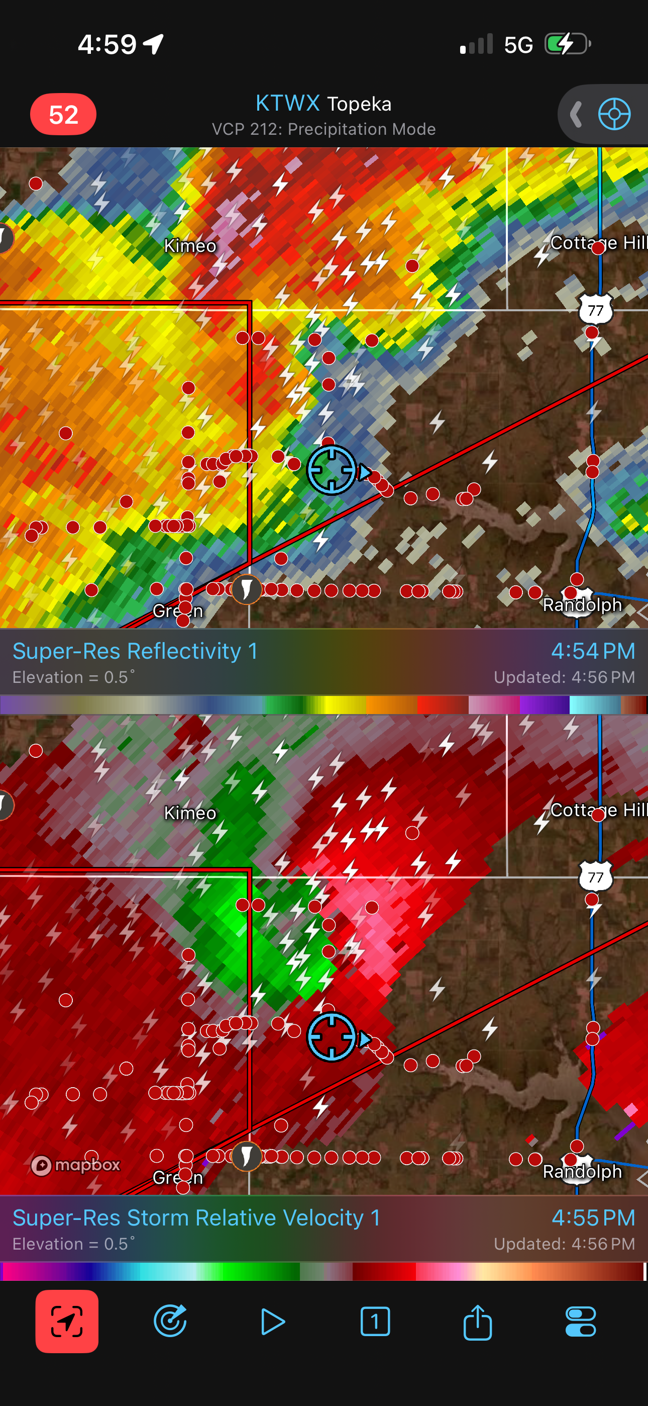
Slowly, the barrel updraft of the supercell revealed itself through the haze, and then the wall cloud became visible. This looked pretty decent, so we began to follow it north up Highway 15, but radar showed this storm was gradually losing intensity while another storm was intensifying to its southwest. A third storm was also growing to the southwest of the second storm. Out the window, the structure on our storm looked pretty good, which conflicted with what was happening on radar. The southwestern cell was growing, had higher echo tops, and showed a bit more promise. Our storm, however, had more of a coherent velocity couplet. This caused a lot of indecision on my part.
The Tornado
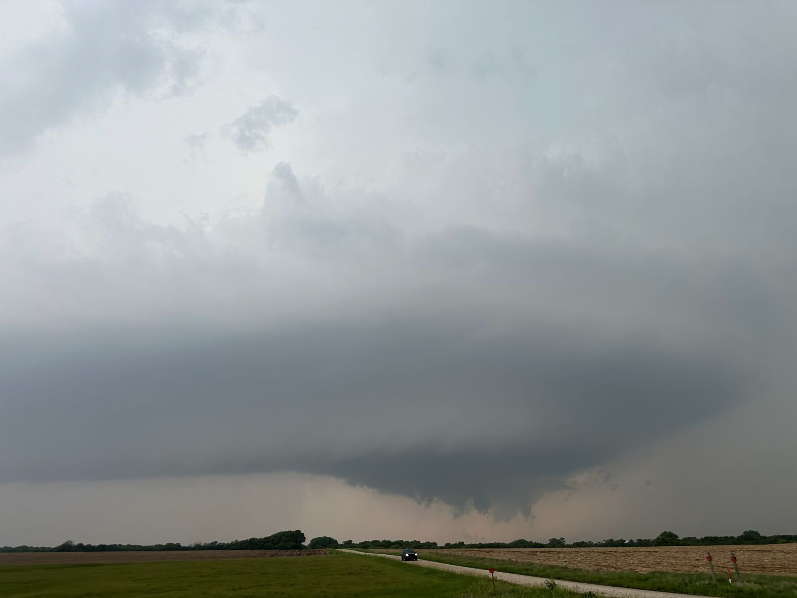
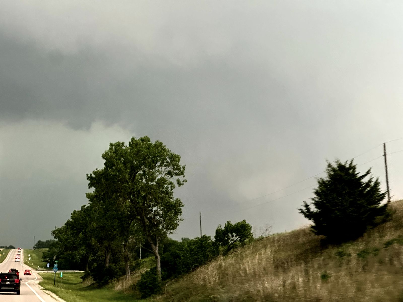
I told Brittany to turn around and head back south toward the next cell to the south. It was at this point where she ended up saving the day. She spotted a funnel in the rear view mirror. I looked back over my shoulder and also at the right side mirror, but I could not see that direction. I wanted to confirm what she was seeing before turning around, but I could not, so we were still moving south. Eventually, she just turned around so we could look, and there it was. Tornado! It was a slender funnel decending from the wall cloud we had just seen. Since we had turned around and gone a couple miles, that was all we needed to make the visibility rather ppor, so it was low contrast, but we could see it. It counted.
The tornado didn't last long. At this point, I thought, "Okay, NOW we should probably head south for the next cell." Indeed, the lead cell weakened a bit. The tornado was short-lived. The second cell had a nice couplet, but it was buried in rain, and the third cell was very close to the southwest. Since we couldn't see, and because chaser traffic was increasing, I opted to stay put at a spot north of Clay Center and wait for Cell #3 to come at us.
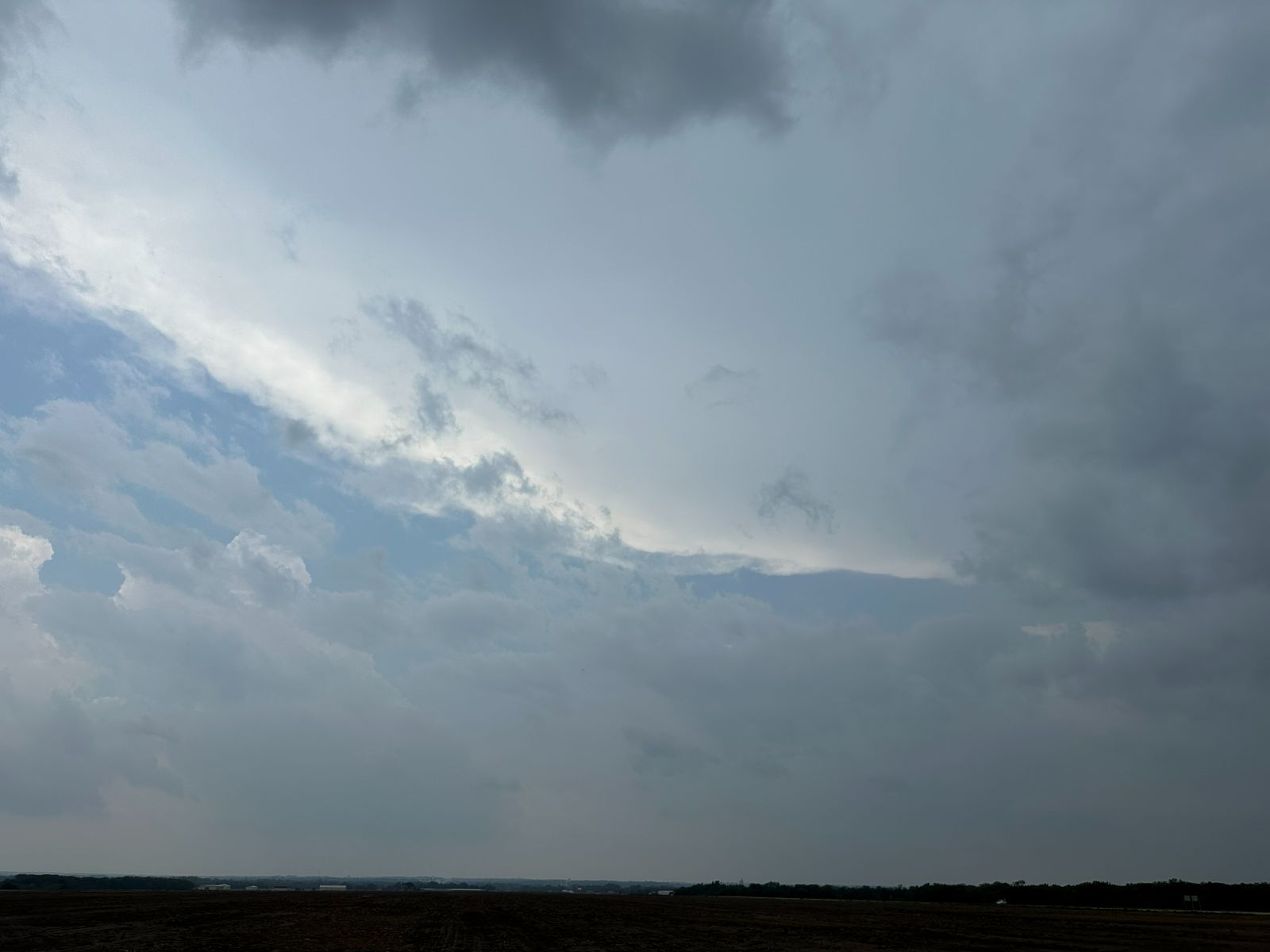
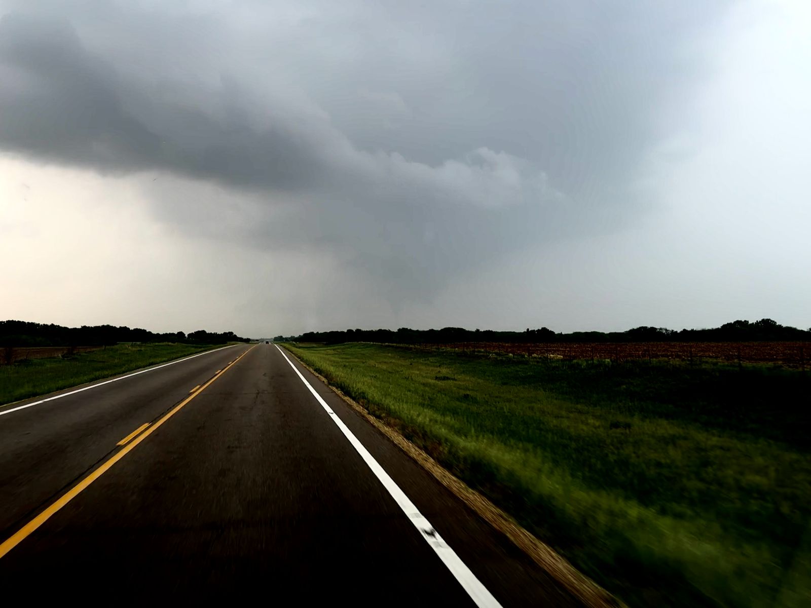
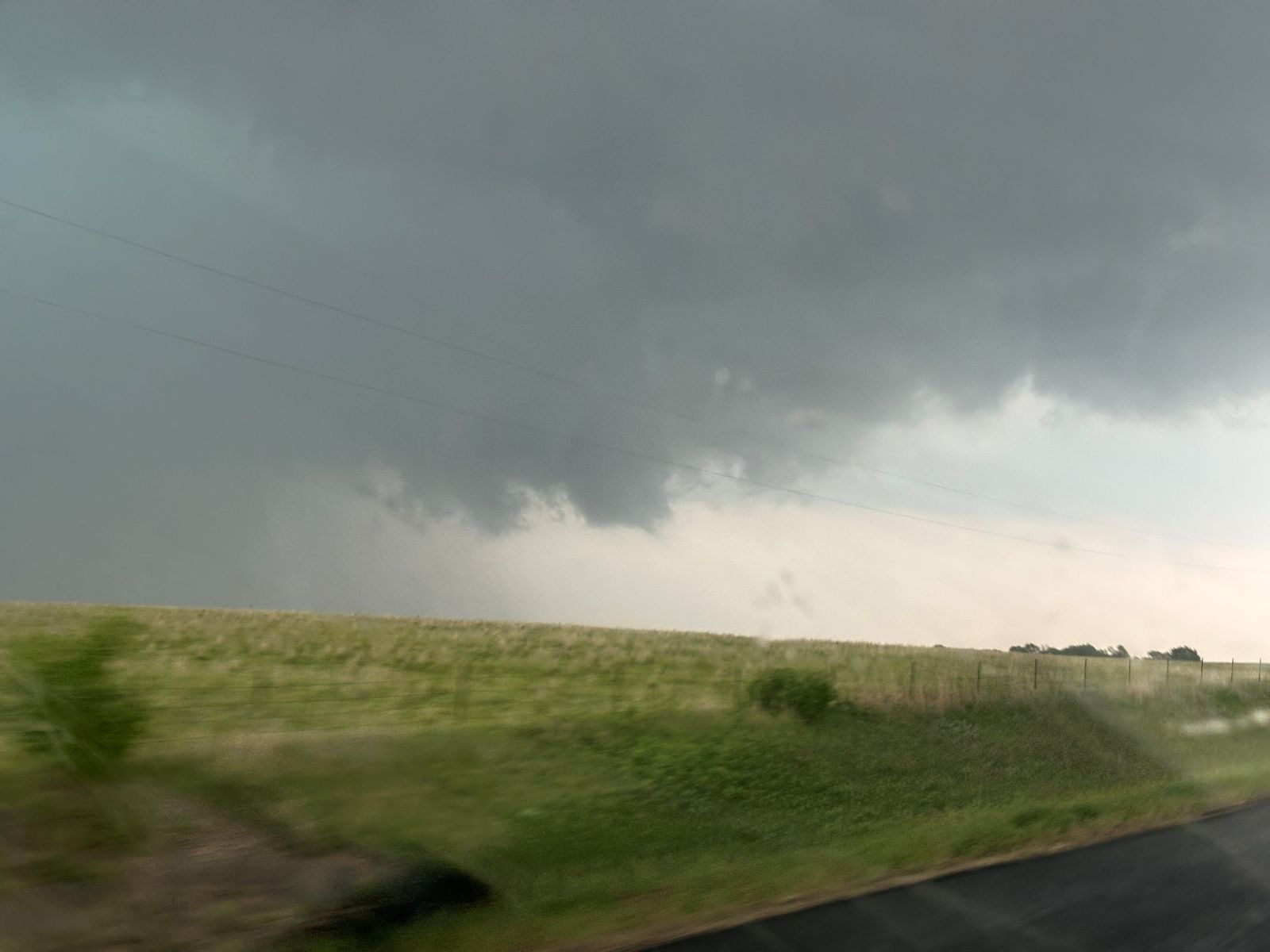
Again, a wall cloud slowly appeared from the haze, and it showed some upward vertical motion but not much rotation. By this time, there were chasers everywhere. If you were at a parking spot, it took a while to back out and get back on the road. There was a DOW there, and so I got out and said hello to Josh, and he offered our guests to hop in and have a quick look, but they were across the road from us, and the whole place was a zoo with people walking around and a lot of traffic, so the guests never took advantage of that opportunity.
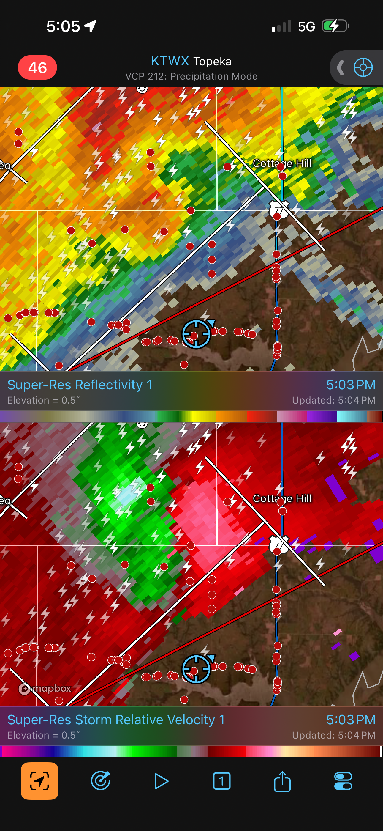
The wall cloud moved closer, and the wind direction switched to northwesterly a mile or so ahead of the wall cloud. This had everyone thinking it was a non-tornadic storm. I, however, had second thoughts. I had seen too many cases of supposedly non-tornadic storms become a lot more interesting. A little bit of outflow is really not enough reason to abandon a storm, so we started back north.
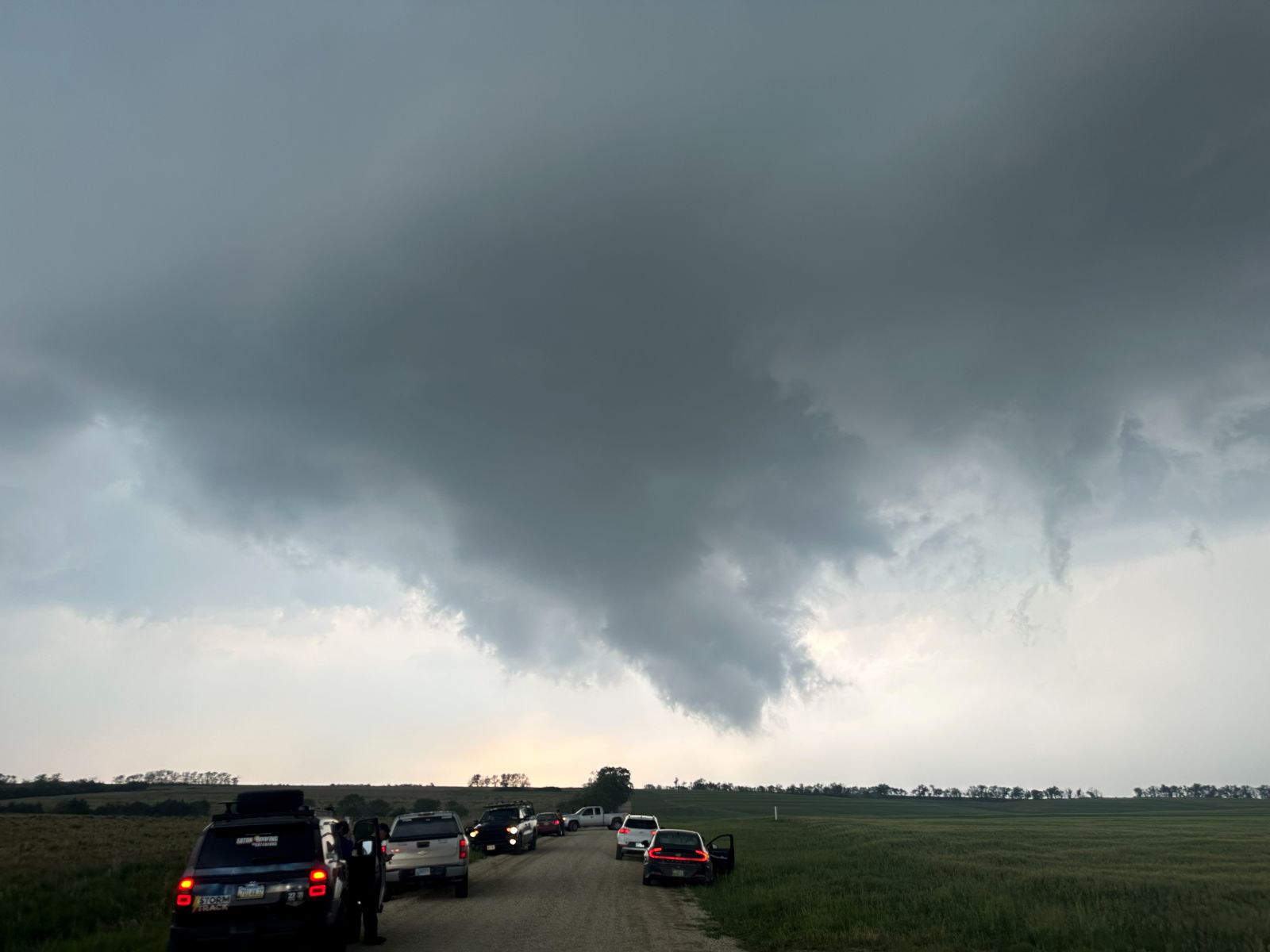
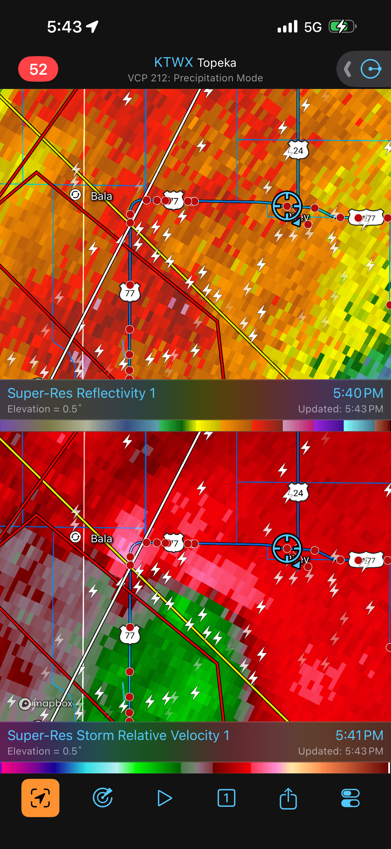
The action area had gotten a little ahead of us, but the road network allowed us to start catching up. We turned eat on 26th Road, which continued to Fancy Creek Road. As we got closer, we could see it rotating, and the rotation increased a fair bit. Still, we were flirting with some rain in the RFD, so visibility wasn't great. At one point, it looked like we definitely had a funnel, but it would not intensify enough to raise debris at ground level. We continued to pursue it, but the road network was now becoming a little slower as we went through May Day and Winkler then turned northeast on County Road 875. This section was somewhat curvy and had taken us a little south. Then, 875 hit U.S. 77, which was a north-south road, but we had a T intersection with a stop sign and a backup of chasers turning left. We had to wait for a couple minutes, and this got us farther behind.
As we turned north on 77, we could see what might have been the action area to the north-northeast, but I wasn't certain because it was hazy, and the true action area might be wrapped farther around in the haze. I thought I saw a funnel in here, but probably not. I felt we were just losing ground, and yet another cell was coming up from the southwest, and this cell had some nice velocity gradients in it, along with a tornado report (NWS employee), so we turned around again.
We ended up not being able to see anything in this next (and final) cell. The circulation was entirely rain-wrapped. We tried to target it, but there was nothing to see. The wind switched direction and then increased in speed, becoming fast enough to do some minor tree damage, but that was about it.
At this point, we decided to end the chase. We drove back to Wichita and stayed the night there.
Wrap-up
I was certainly more indecisive than I normally feel on a chase day, and while I initially felt kind of down about that, this was the first time I've encountered such a scenario of so many potentially tornadic storm so close to each other. Many of these areas of rotation were buried in rain, and some were visible. The haze made things fairly difficult, and there wasn't much time to look at the evolution of wall clouds to really get a sense for what their trends were. Whatever the case, we ended up with a tornado, and had we stuck on our north route toward Blue Rapids, maybe would have seen another one, but I'm not so sure. I turned around when the action area had become obscured or I knew we would be in rain. The guests enjoyed the intensity of this chase, with the sky showing many different looks.