The Setup
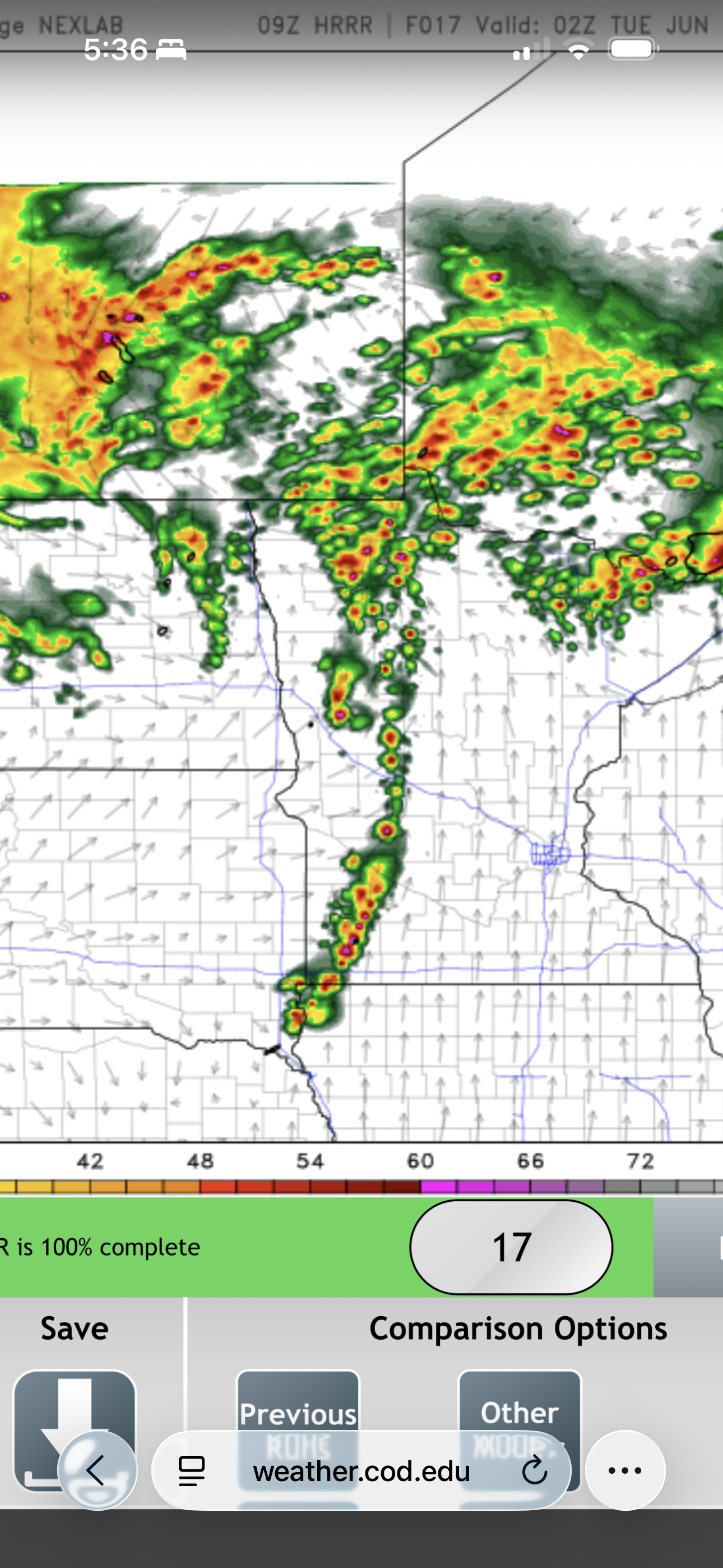
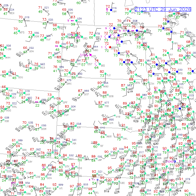
A low pressure center was moving northward through the Dakotas. A warm front was moving northward through Minnesota, and a very humid airmass was south of this warm front, with temperatures in the mid- to upper-80s and dewpoints in the mid- to upper-70s. A severe MCS has moved across Minnesota during the late morning hours, leaving an outflow boundary that reinforced the front. Along the front, dewpoints were in the upper 70s, and temperatures were in the mid-80s.
Any cell that could spend time in the sweet spot along the front east of the low would have a chance to produce tornadoes. There was an area of lesser CAPE wrapping back northwestward from the primary target area. This lower CAPE area covered much of eastern and central North Dakota. The warm sector was actually looking a bit capped in the HRRR runs, and that model wasn't showing much in the way of big, helicity-swath-bearing supercells, so I was wondering how much we would really see. Pattern recognition would draw a chaser to northwestern Minnesota, but maybe the HRRR was onto something wrong with this system. I just didn't know what that was.
Before this all began, though, part of my reason for going to Bismarck was the potential for chasing late morning storms just south of I-94, moving up through southeastern North Dakota, in the morning, should the afternoon chase fail to materialize. Models had been showing a major suprcell or group of supercells in the morning, and this frequently does occur on a number of high end days in the Upper Midwest. The primary show often ends up being the morning activity and the nose of the warm advection. By sunrise, it was clear that we wouldn't have that opportunity. The big supercell had developed a bit farther south and had moved faster than the model runs indicated, putting it out of range for us on a morning chase. We were now committed to afternoon/evening.

Home Gets Hit
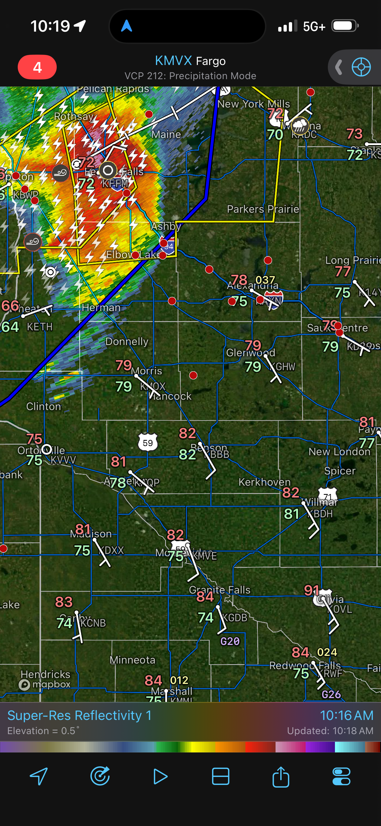
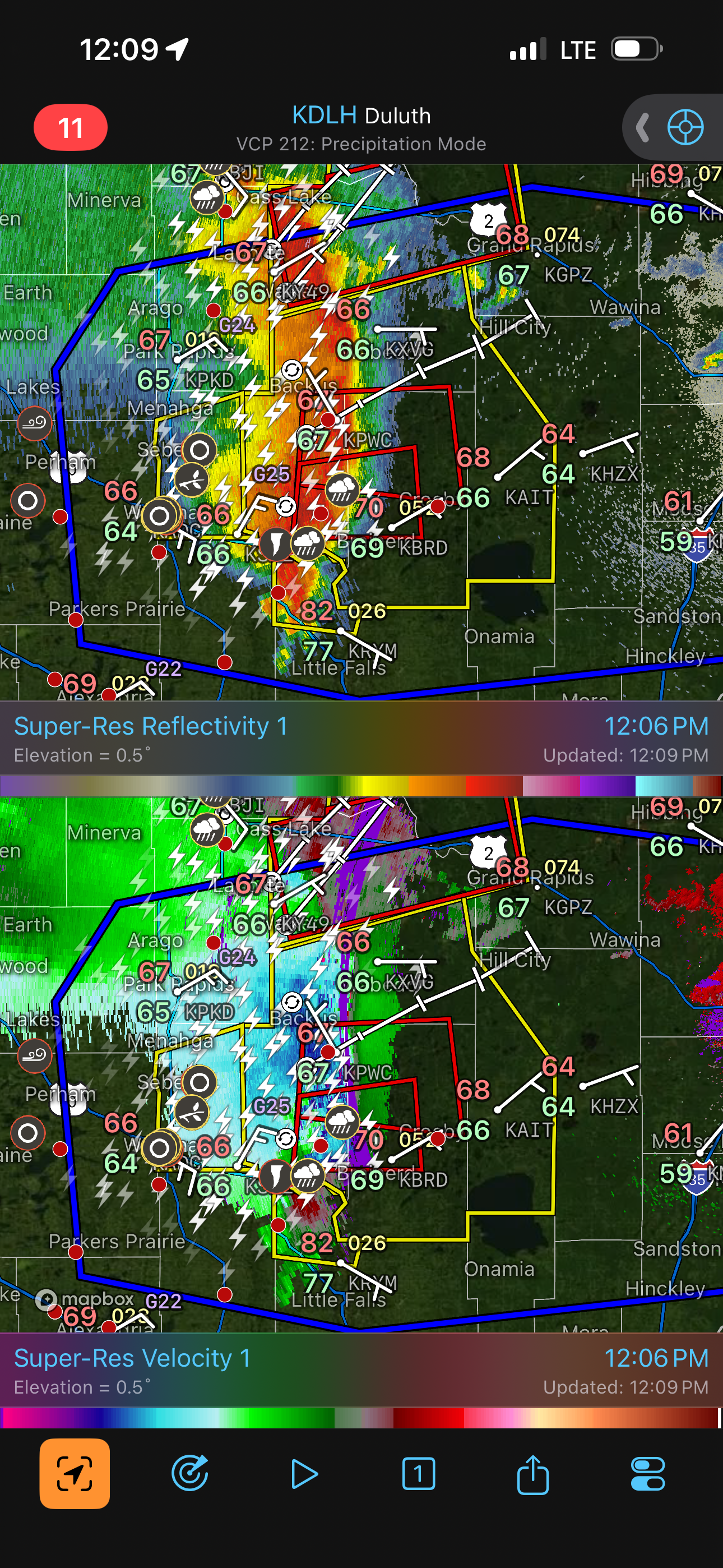
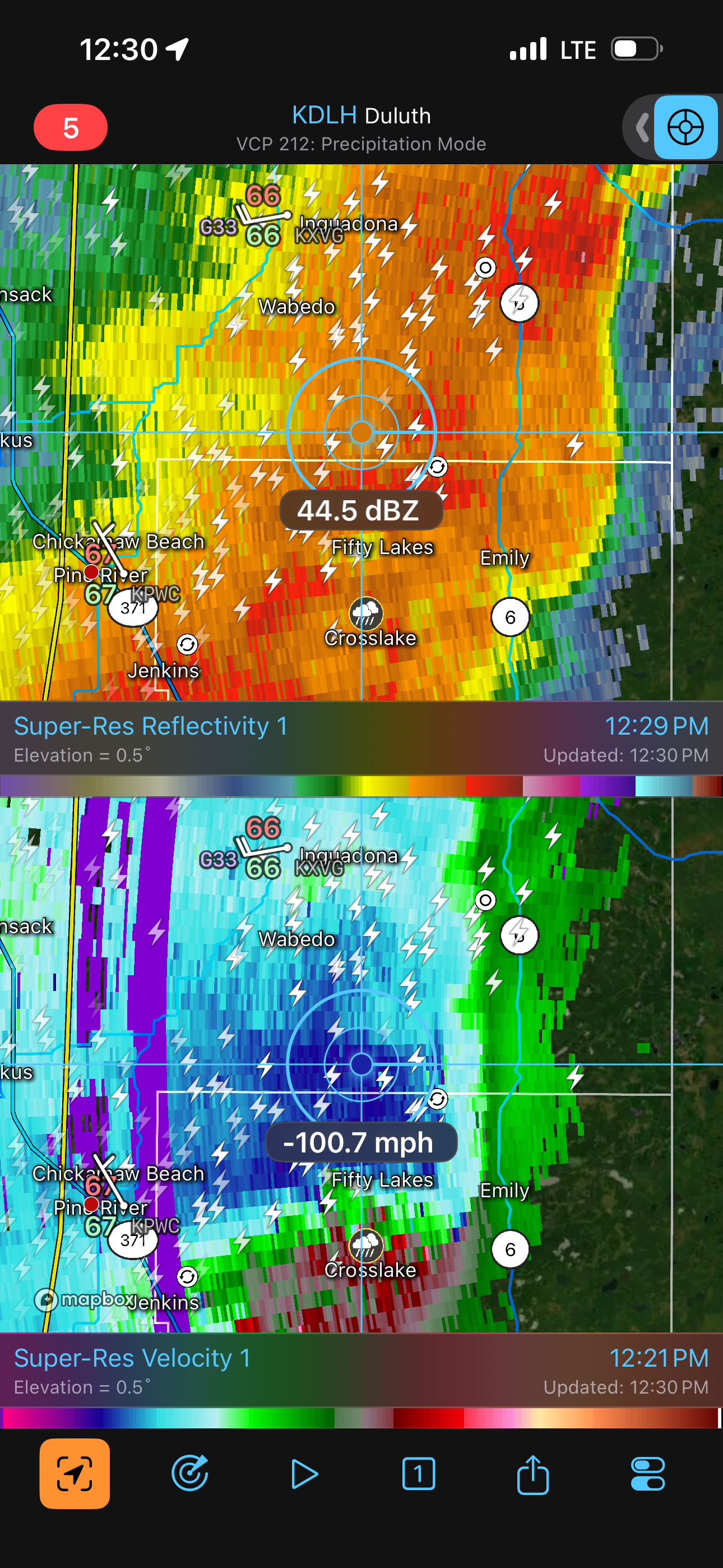
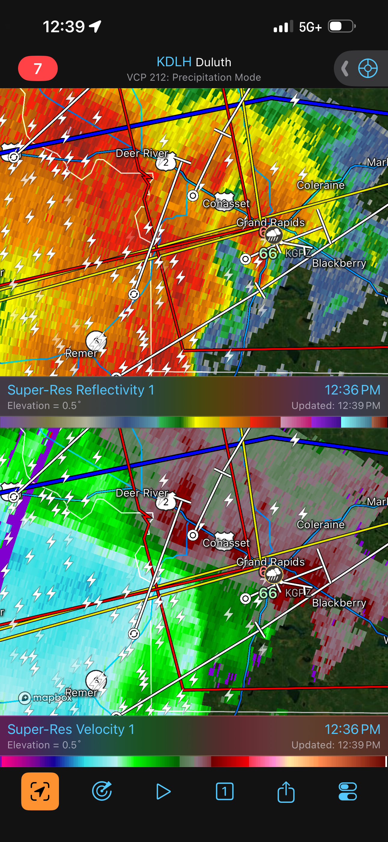
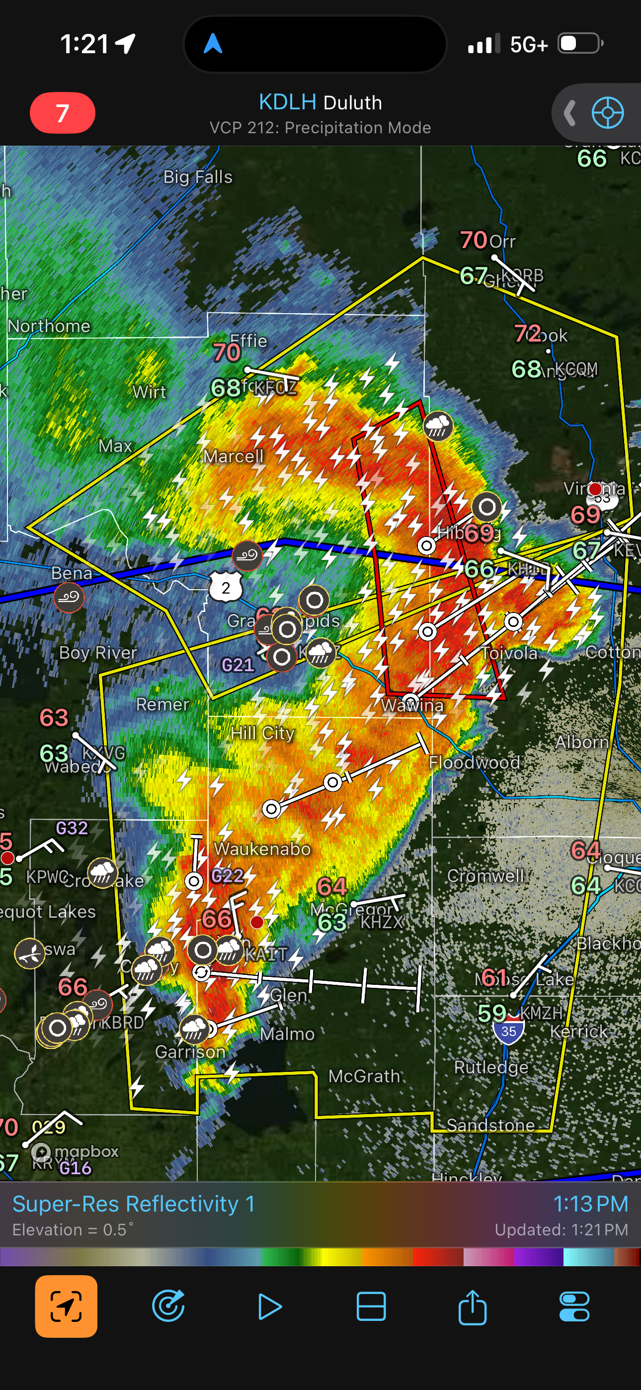
We drove east from Bismarck to Jamestown. We did a pit stop at a Shell station there and drove on to Valley City for lunch at a Love's travel stop and an ice-cold McDonald's restaurant. As we were driving eastward, I was finding out more about the intensity of the morning supercell. A mesonet station in Highmore, South Dakota recorded a 131 mph gust as this supercell went by, and several wind turbines were knocked over by this wind. As I stated earlier, the storm was ahead of schedule and was now well into Minnesota. During our drive, I was tracking it and saw that it was headed straight for home. Thus, a considerable portion of my time in the ice-cold McDonald's was responding to questions from home. Tornado warnings were issued for Grand Rapids and much of the path of this supercell through northern Minnesota. I told everyone it was actually more of a wind event and not really a tornado event. Nevertheless, the winds could be tornado strength. Grand Rapids ended up being right at the apex of the bow as this supercell elongated and became a bow echo. The storm passed by without major damage (aside from an occasional tree down), and the power stayed on at my house.
Insurance Chase
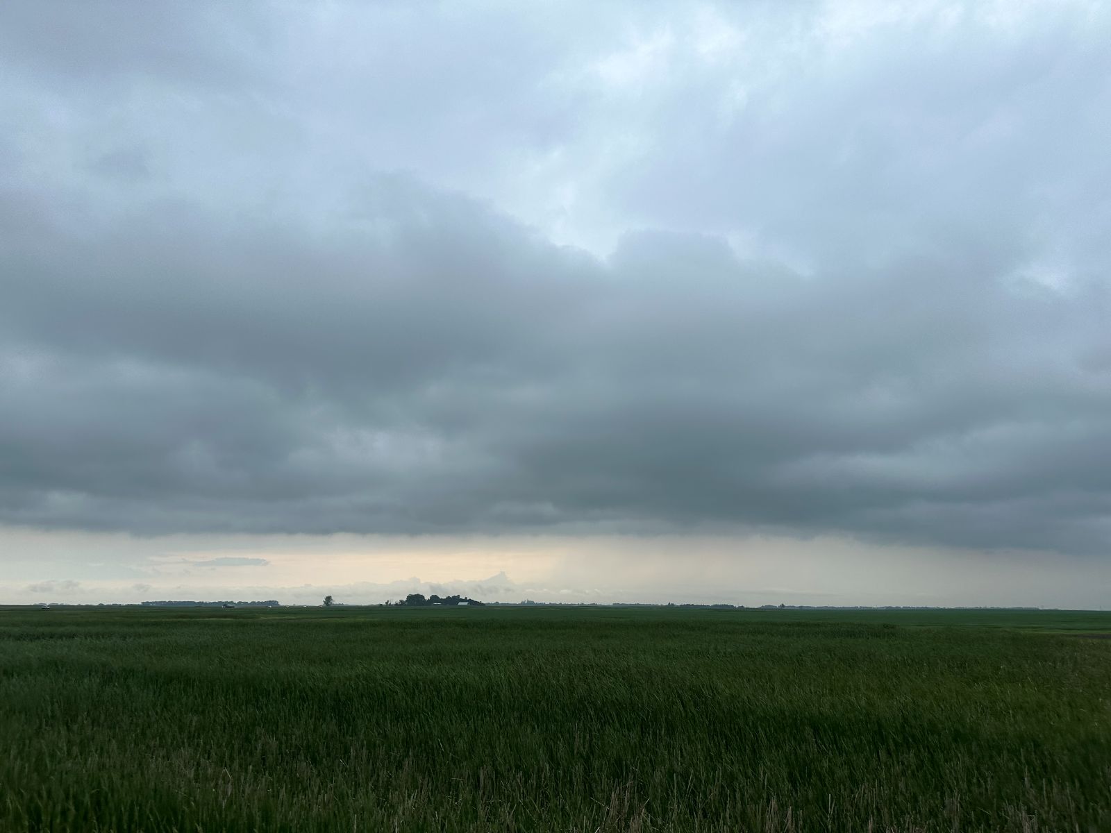
Upon finishing lunch, I wanted to prevent boredom on our tour, and since there were some storms slowly intensifying back to our west (remember the lower CAPE area in North Dakota? We were in it), I decided to play around with those for a while. The northwestern Minnesota target certainly looked like a late show (CAPE had already been partly wiped out by the morning supercell), and chasing these early afternoon storms could be an insurance policy against the Minnesota target not panning out. We drove back west to Jamestown then northwestward on U.S. 52 to around Carrington. In this area, the skies were mostly dull and gray but occasionally punctuated by a darker updraft base. We spent some time there so we could be present should any of these storms intensify, but none did, and we decided to drive back to Valley City to spend more time at Love's.
Chasing Congestus
We did a pit stop at our favorite Love's station, loading up on gas and munchies. We then drove to Fargo, which was a favored location for storm initiation. When we arrived, there was nothing going on, so I decided it was best (we had already visited enough gas stations) to find a municipal park somewhere and simply hang out while storms developed nearby. I found Lindenwood park right on the border with Minnesota but on the North Dakota side (some guests walked across a footbridge into Minnesota). We spent about an hour here from around 5:00 PM to 6:00 PM. By 6:00 PM, still nothing was exploding into a supercell, but the congestus was building, so I decided to take the tour eastward into Minnesota. We drove southeast on I-94 and exited at Downer (to this point, it was a fitting town name for our chase). It was a bit of a downer that nothing was happening yet, but we hoped it still might.
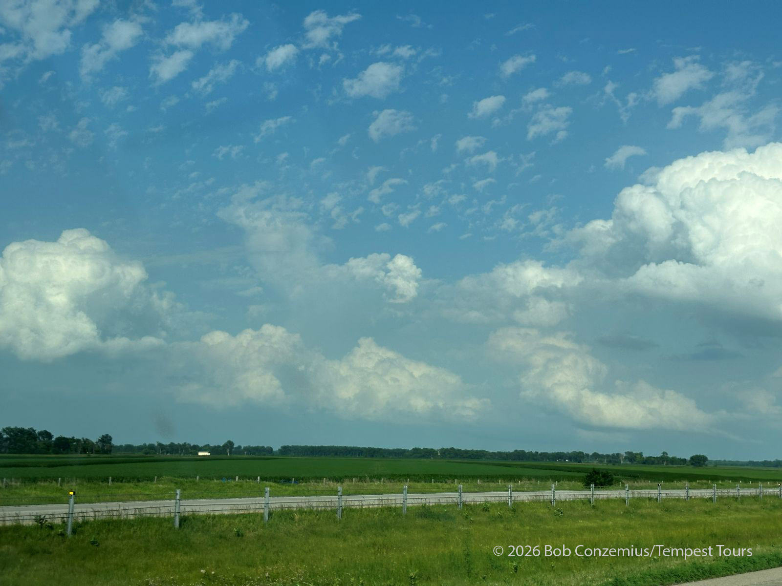
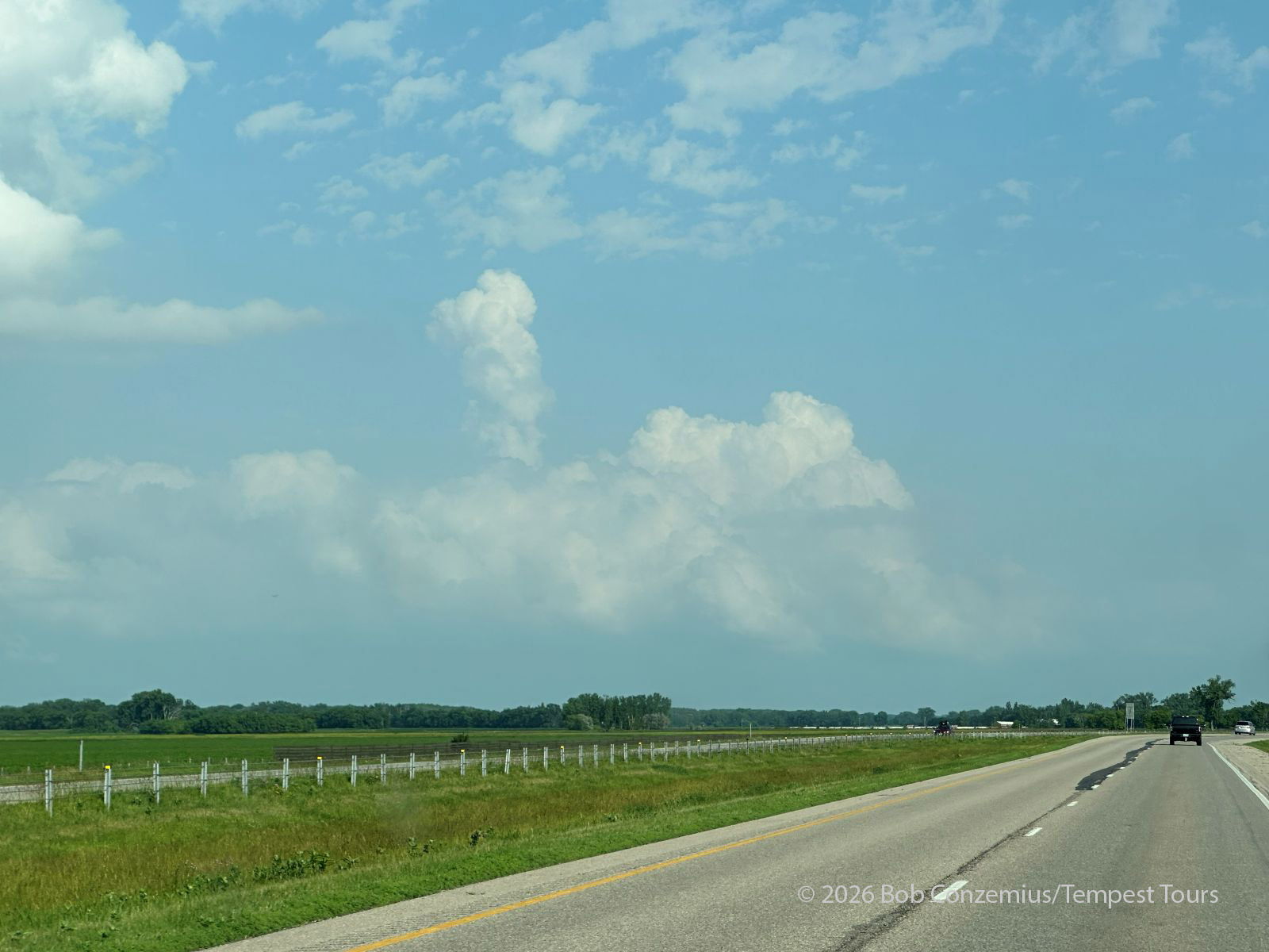
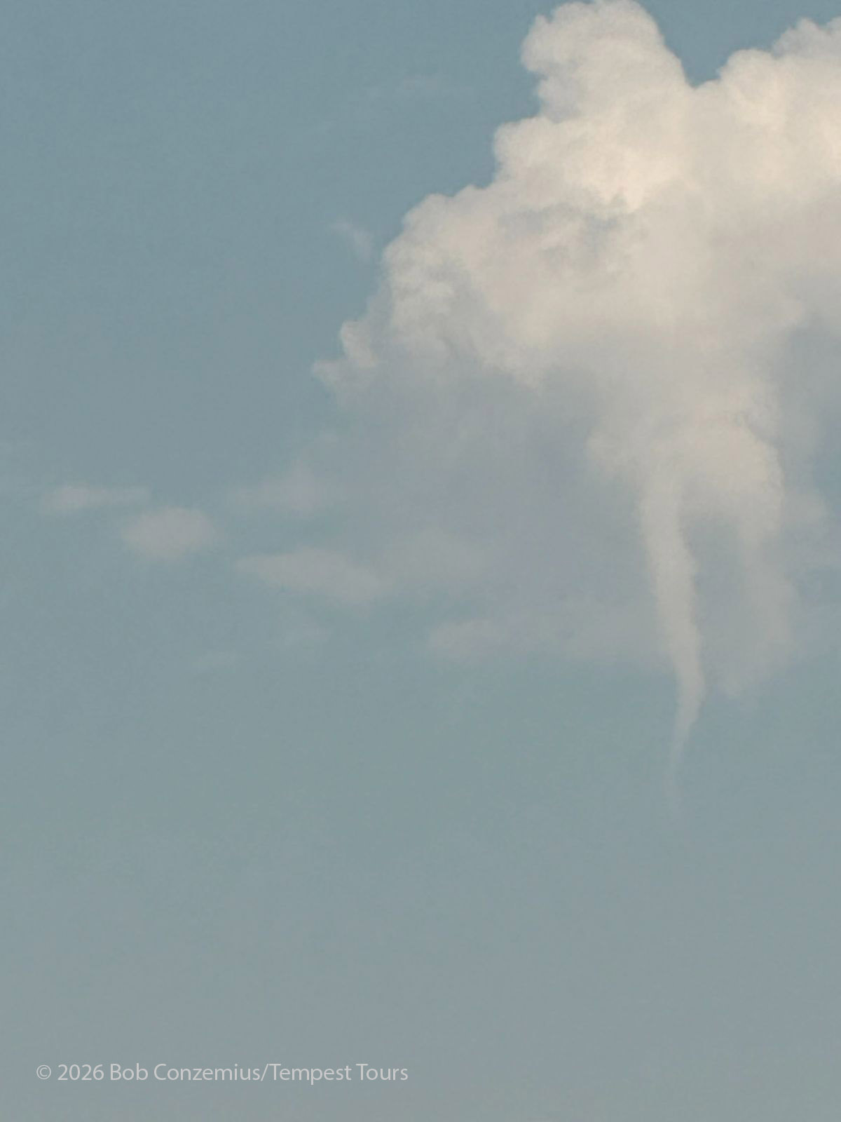
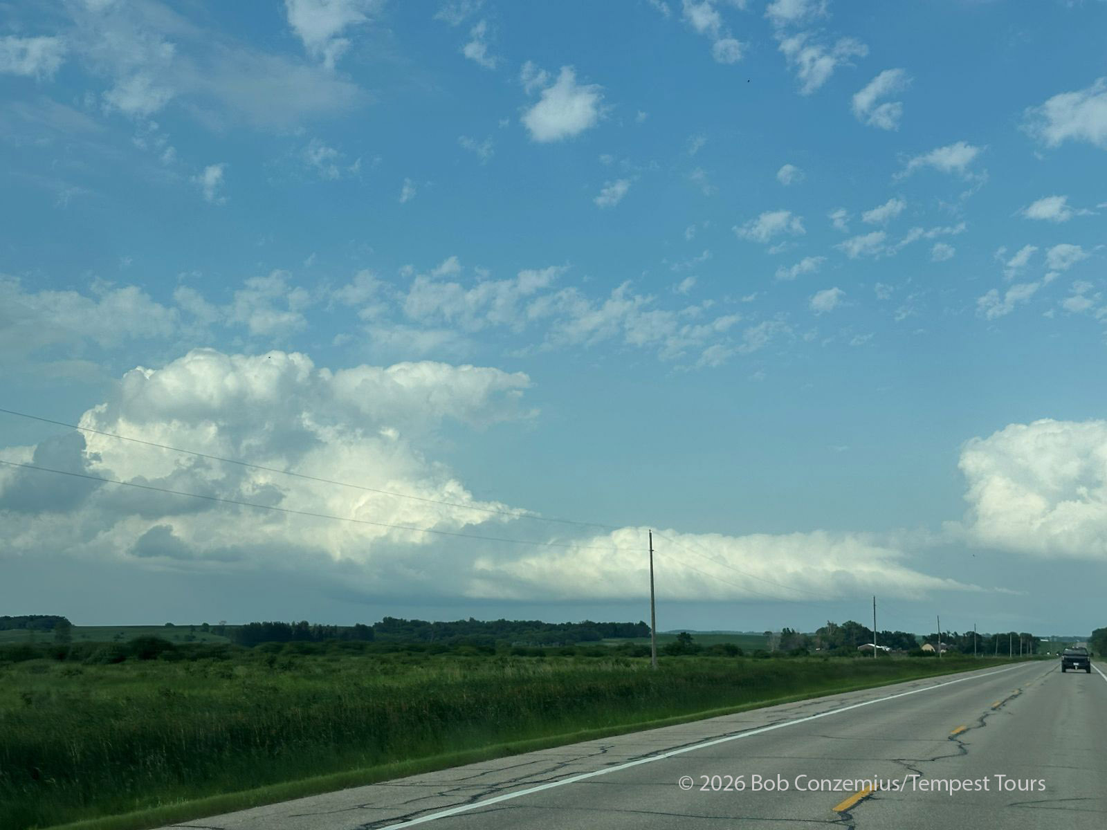
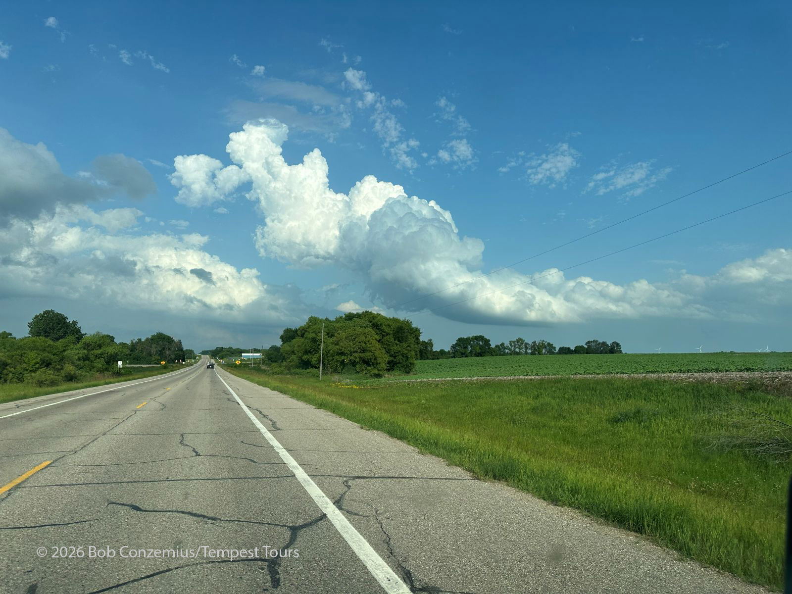
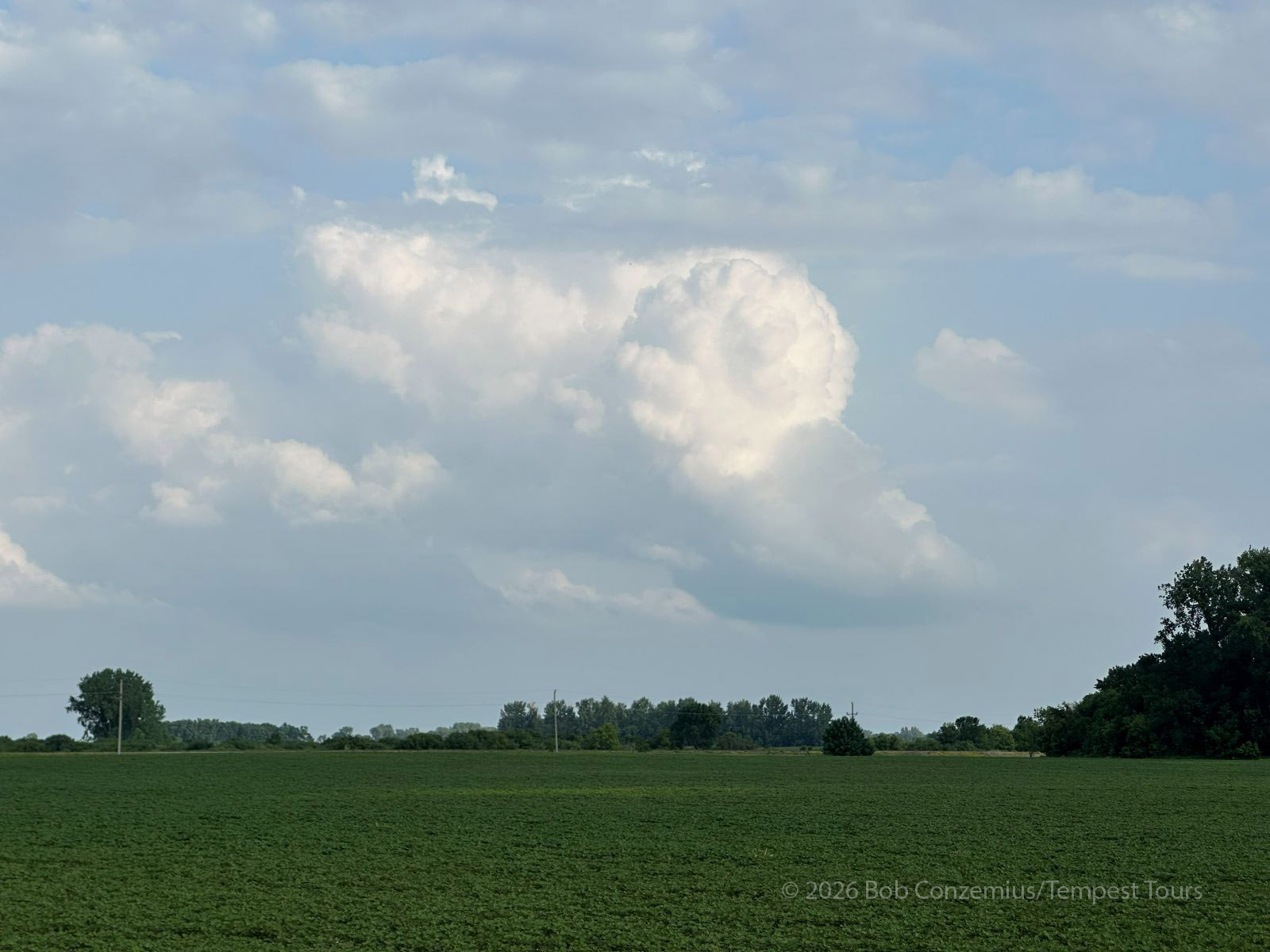
We spend about an hour chasing congestus, but nothing really seemed to be developing. I told the group that if nothing developed by 7:00 or 8:00 PM, today would be a busted chase. It was now after 7:00 PM. If the congestus had grown over the past hour, it was only very slowly. However, not all hope was lost.
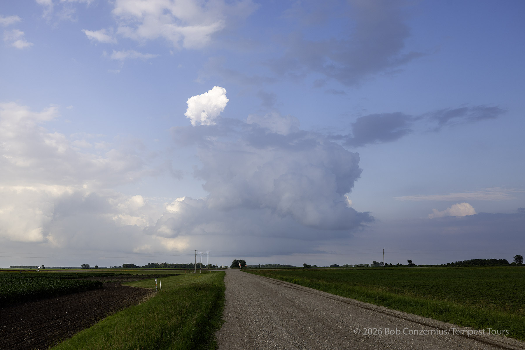
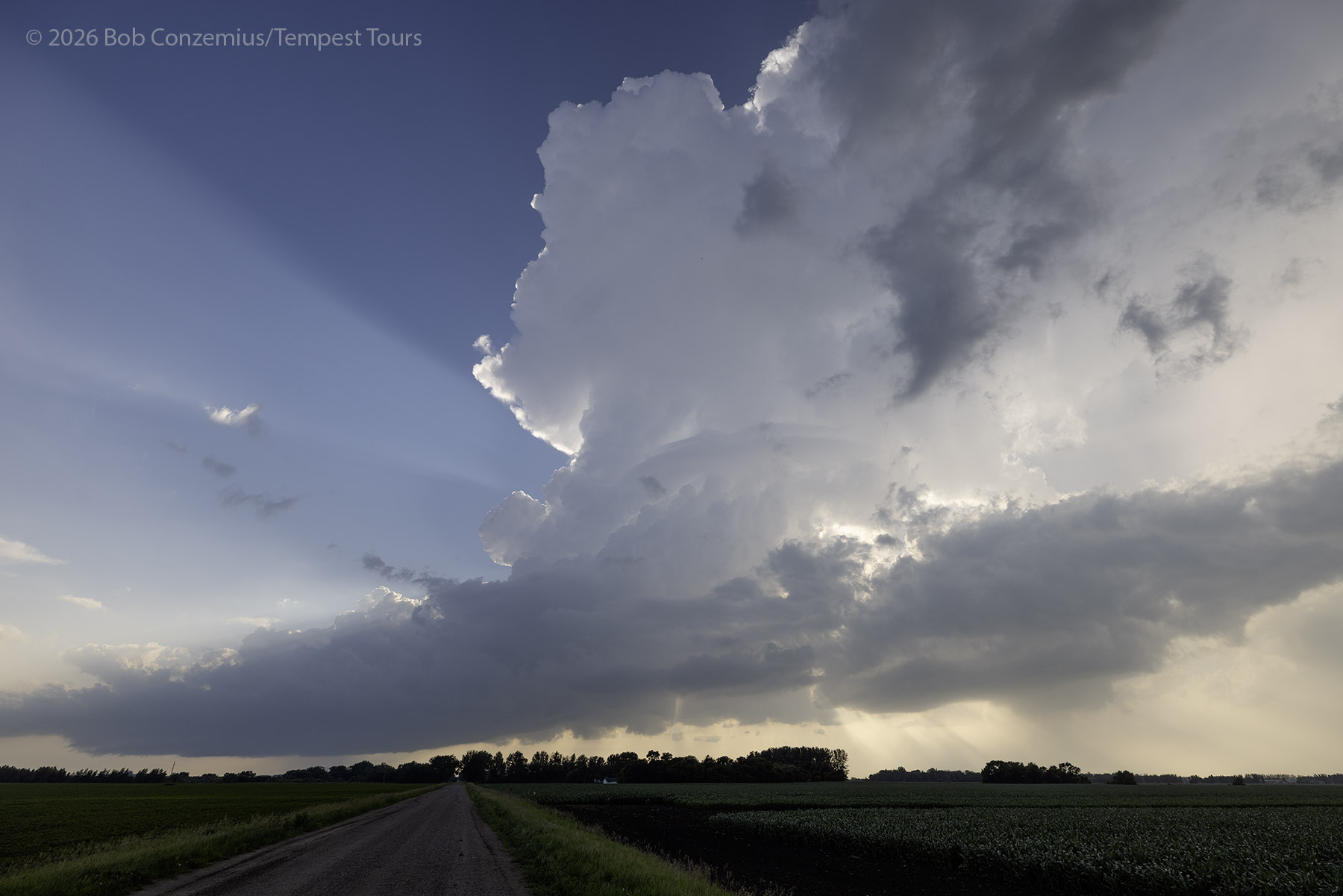
Finally, between 7:15 and 7:30, echoes started to appear on radar, and around 7:30, we heard some thunder to our west. A small storm had developed nearby, and it was slowly growing. We spent some time photographing it as it was nicely silhouetted against the sun. When it got to our north, we drove after it, but it was not intensifying at all.
The Real Target
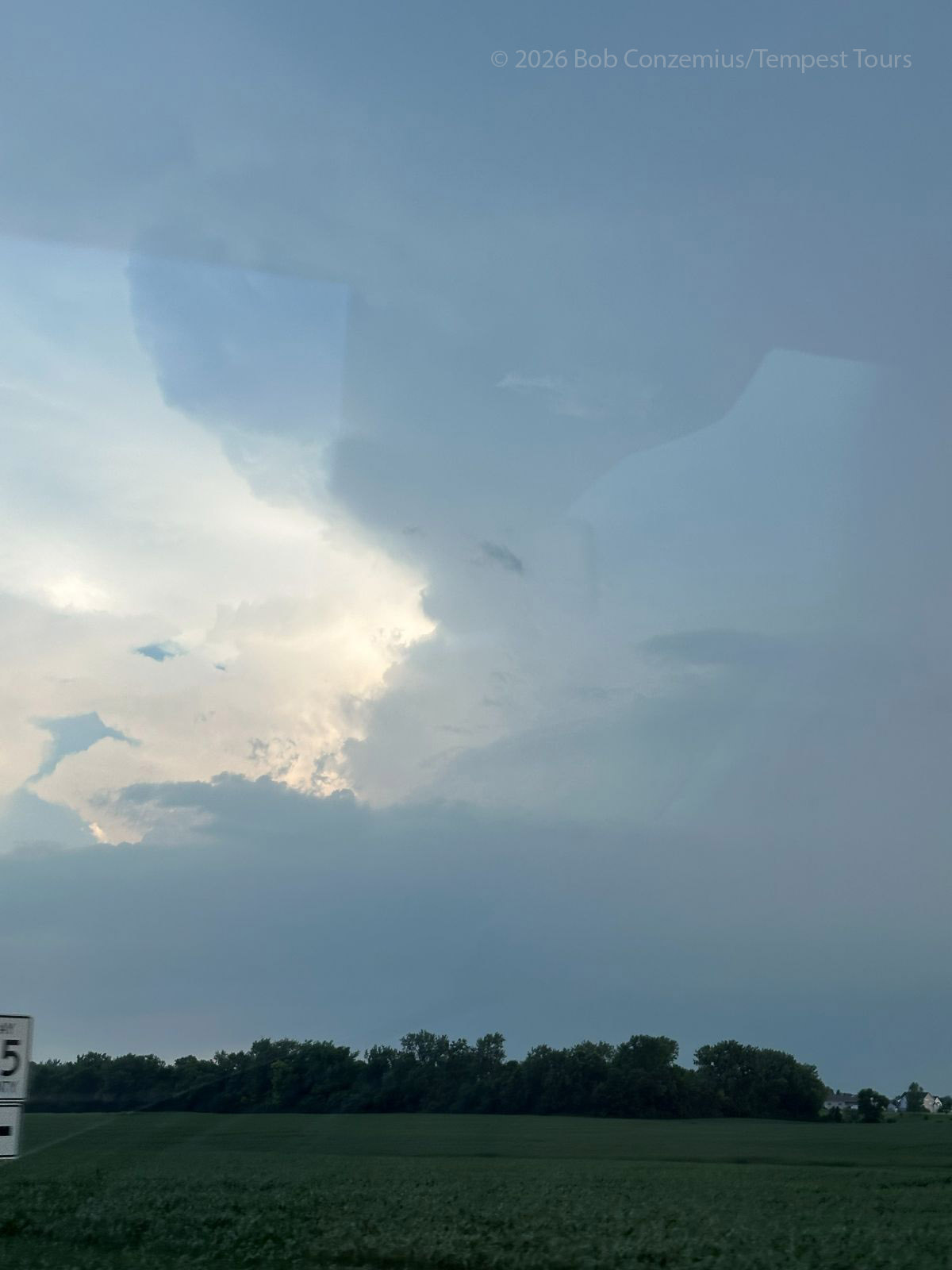
A much larger storm was developing near Moorhead. It was time to abandon our small LP cell and target the new one. We drove back to Ulen then west to 230 Street, which went south to Hawley, just to the east of the core of this new storm. I snapped a picture on the way, and this storm definitely looked beefier than the previous one. This was not an LP.
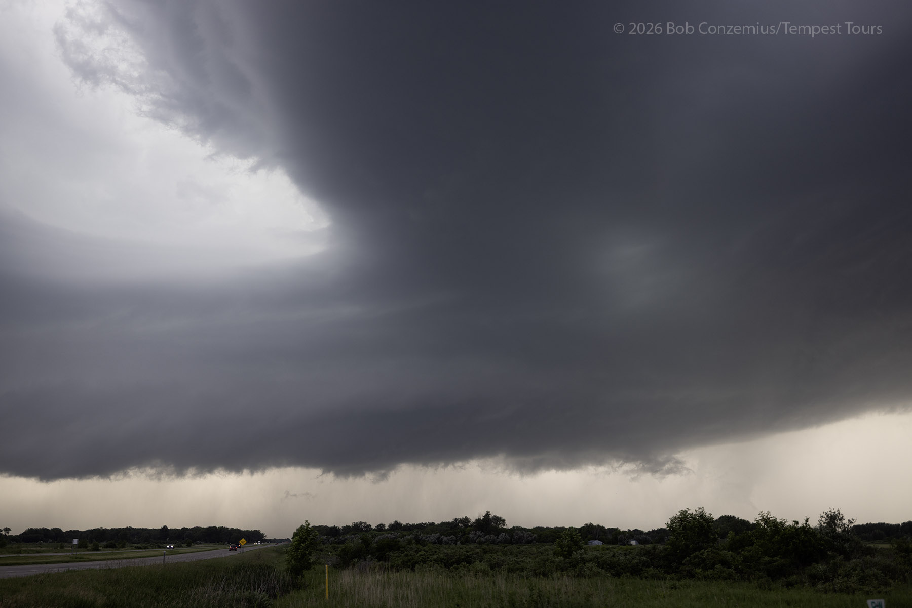
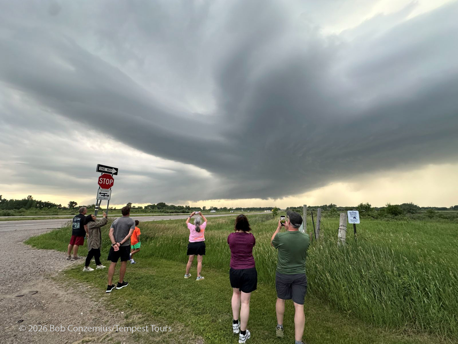
We got to Hawley and turned west on Highway 10 for a couple miles. We were in great position to view this storm! It had a nice, circular updraft barrel or barberpole and several inflow bands coming in from the northeast, east, and south.
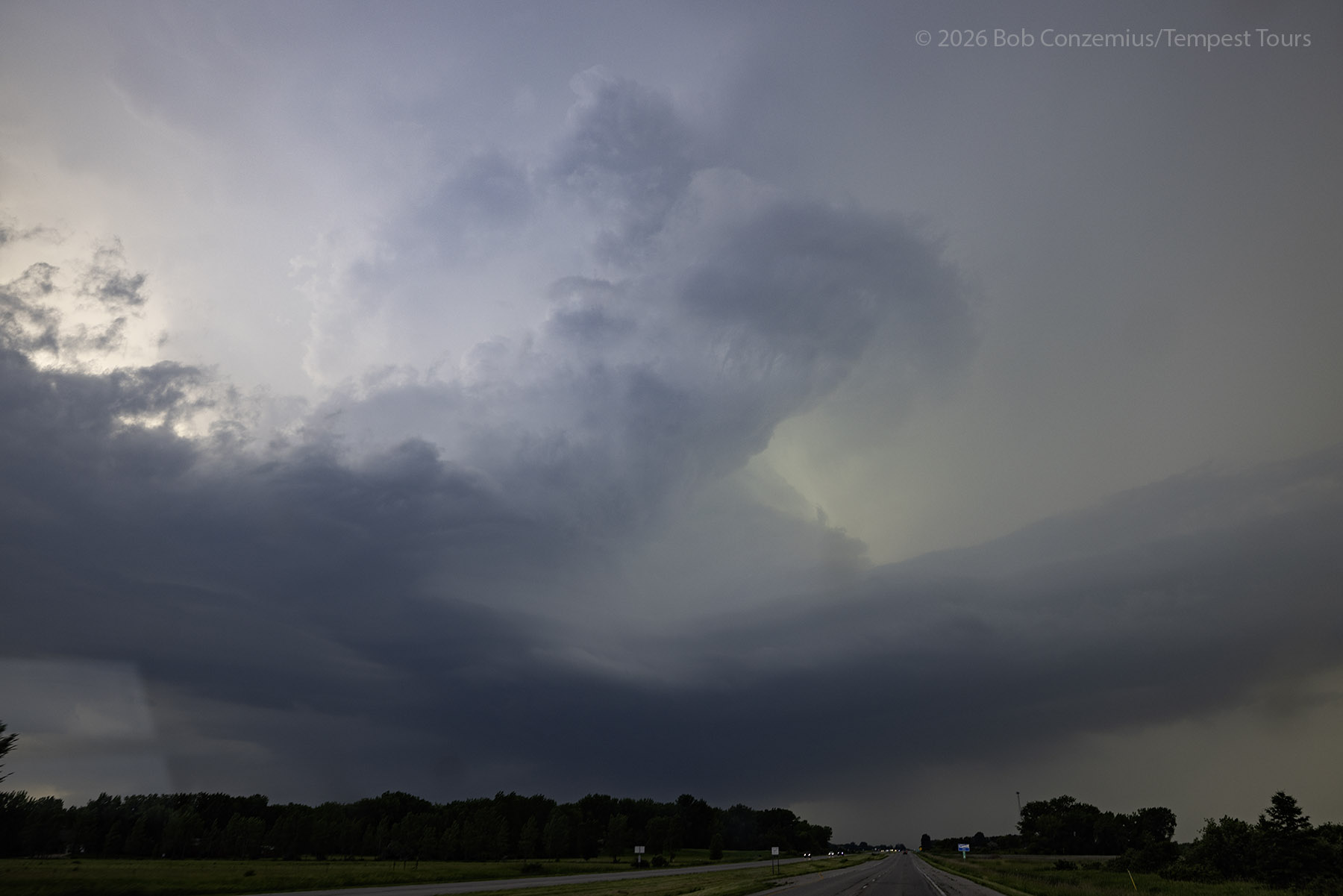
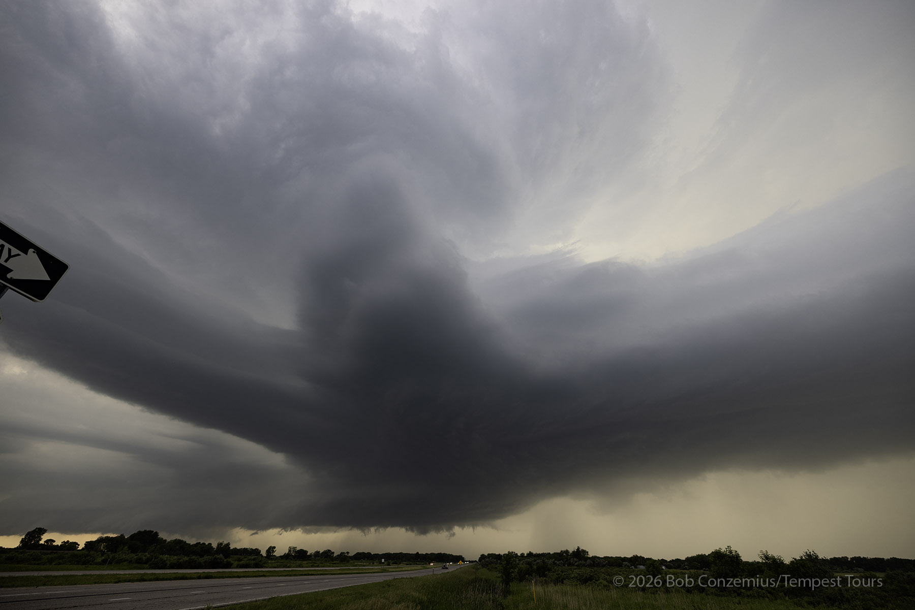
We stopped about six miles west of Hawley and spent some time with the storm. The inflow was pretty nice, and there multiple bands feeding into the storm. At low levels, it looked slightly stable, and it was difficult to pinpoint any one area with pronounced rotation. I could not see any rear flank downdraft. The storm encroached upon our position, so we drove back east through Hawley then turned north on Highway 32.
The Tornado
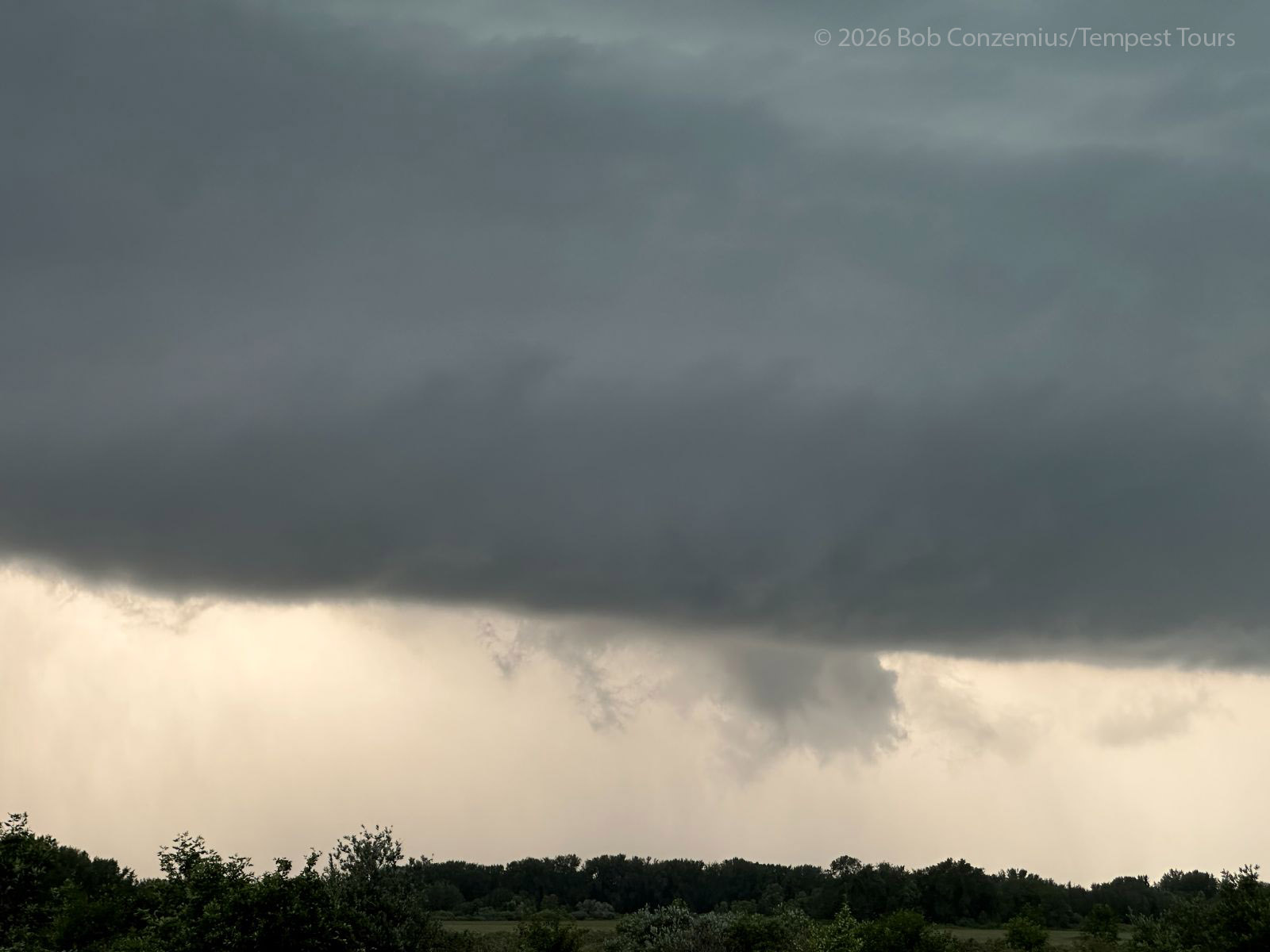
Upon turning north on 32, we could see a focused action area with a small, wet RFD and a funnel protroding from it. There were a few chasers parked at a pullout, and although I wanted to find a less populated spot, this location afforded a great view, and things were happening right now. We needed to stop.
The funnel reached about halfway down from the cloud base. I was pretty confident this was a tornado. I only had time to grab the video camera, which is always my go-to device for tornadoes. I took about a minute of video as the condensation funnel reformed once or twice then went away. Looking back on my video and doing contrast enhancment, a debris cloud can be seen. A chasers who was a lot closer saw small branches in the air as the tornado hit a tree line. I could only do some contrast enhancement on a couple video still captures where you can barely see the debris cloud.
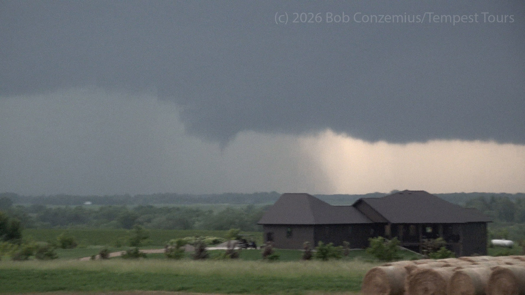
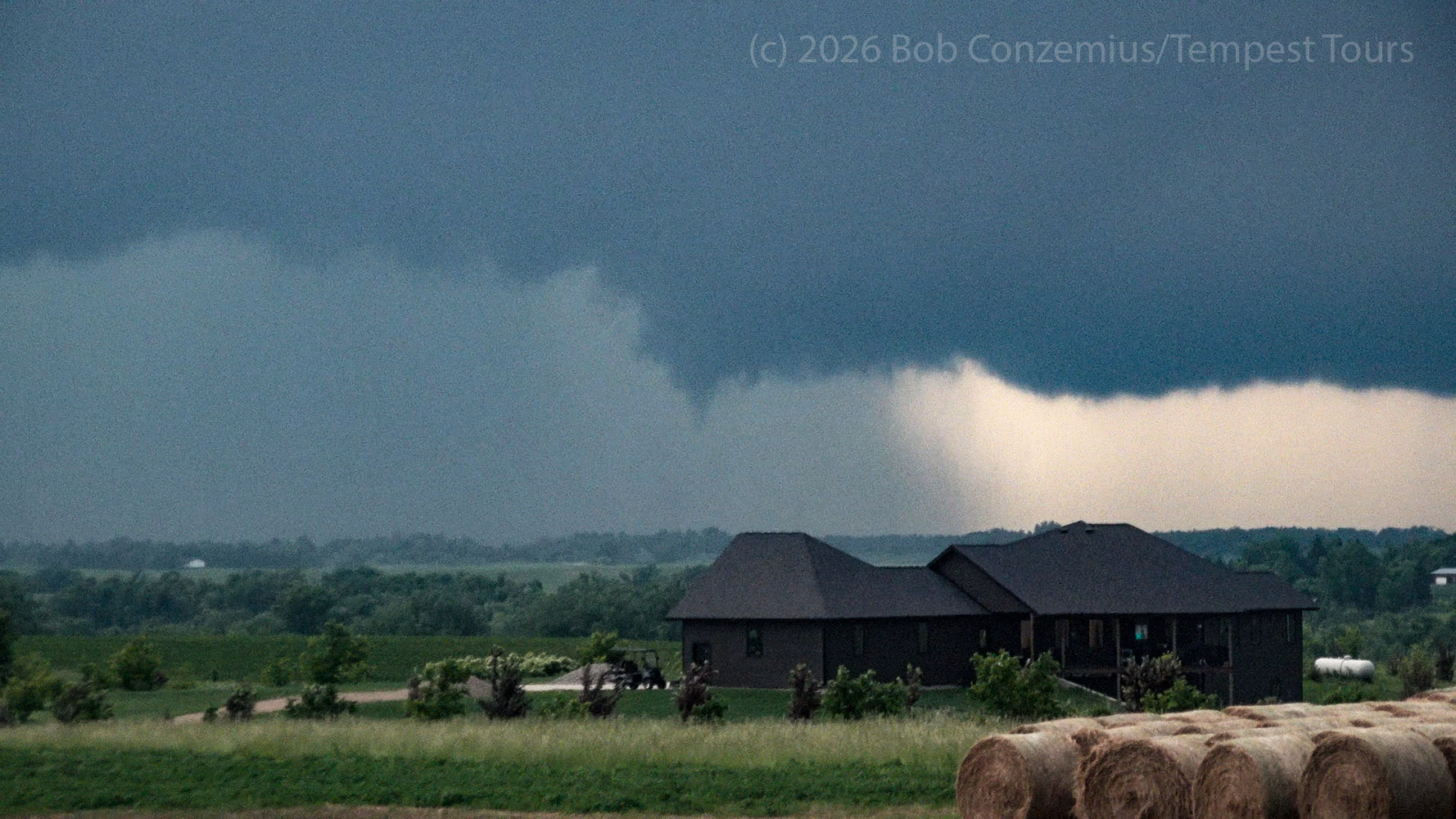
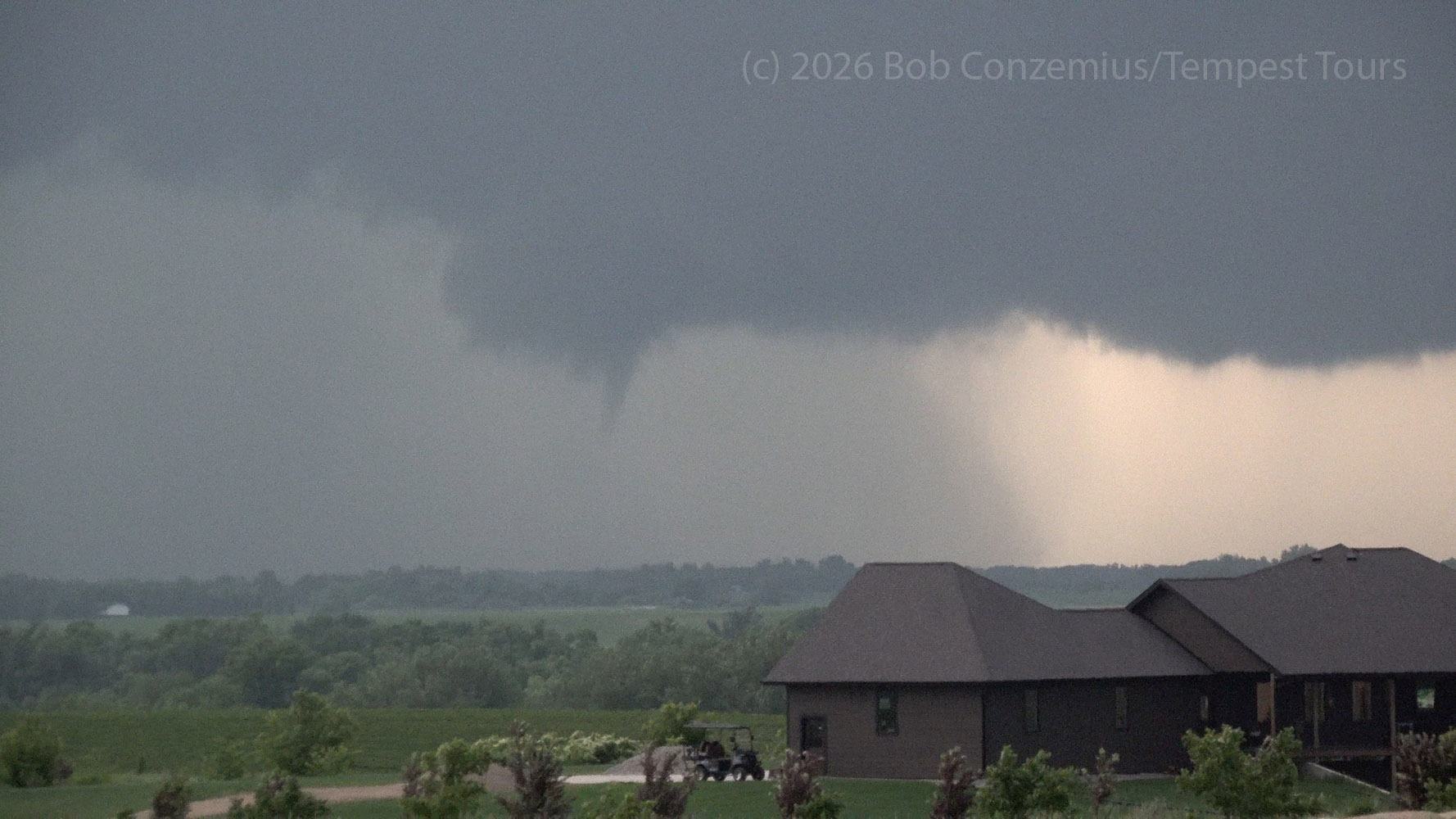
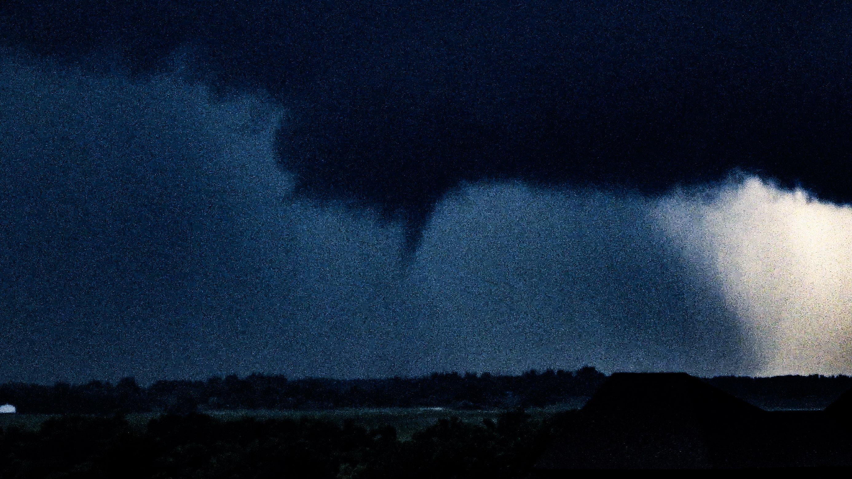
Immediately after this tornado, we continued north and east. The RFD continued wrapping into this action area, and the storm remained supercellular. For whatever reason, I decided to take a long run east and then north. This was probably mostly due to the motion of the storm and desire to stay away from the wet RFD. I wanted to get ahead so we could get out an do some observation and photography. However, we lost contrast pretty fast due to hazy skies, and it also got dark. By the time we got set at a spot to the east, the structure of the storm had faded a bit. It was crossing into some lower CAPE air, and other cells were developing to its south. The tornado phase was done. I snapped one more radar shot, which is representative of how the storm looked on radar while we were chasing it.
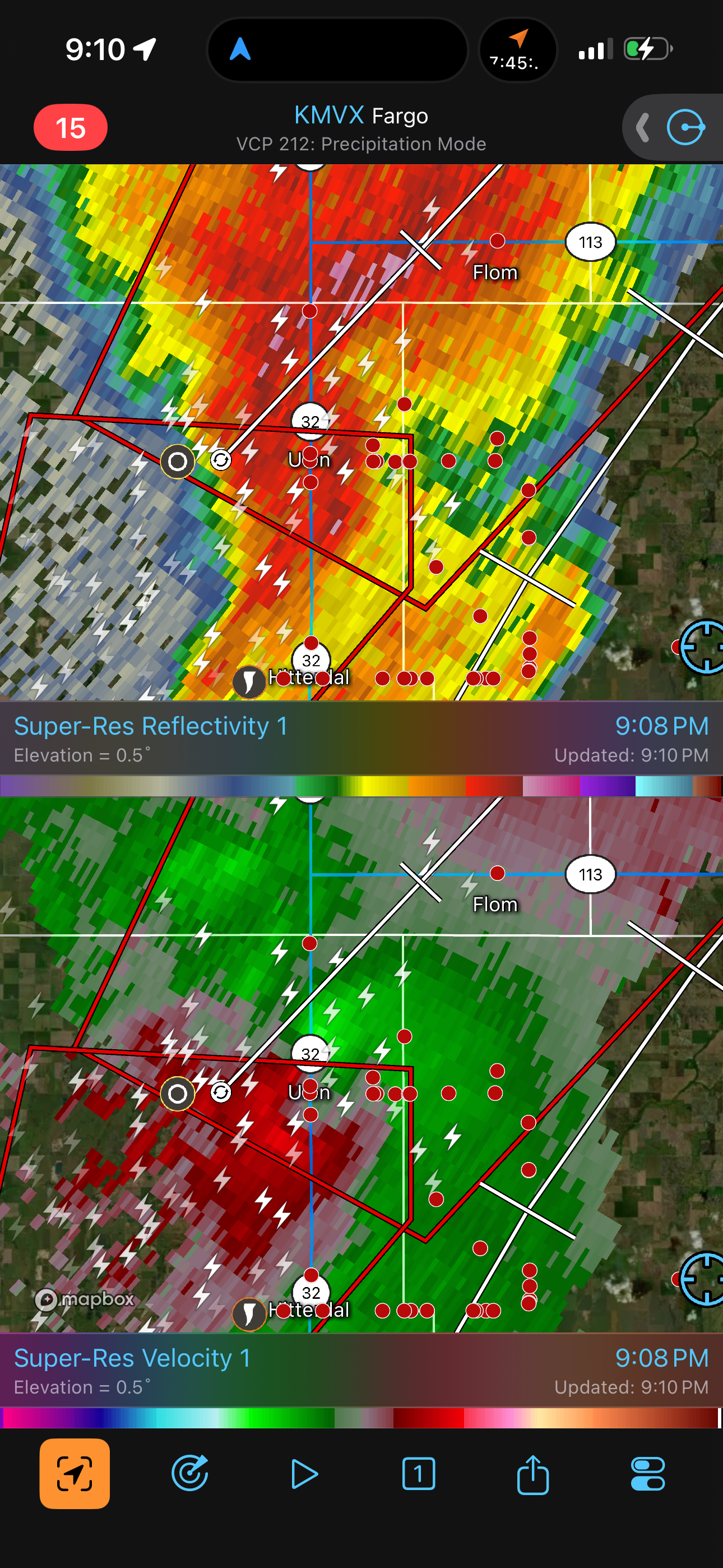
We tried to continue east to attempt to observe structure one more time, but the next east road took us across the forest boundary, and we were now in the trees of north central Minnesota. We turned around and drove back eastward through the storm then turned south a little to observe lightning. I booked hotel rooms in Parker's Prairie (a small mistake given I thought I had put my finger on Detroit Lakes, which was a much shorter drive) and we made the hour-long drive to spend the night in a nice, quiet town.
Wrap-up
It was a long day. Finally, we saw some action late, and we got a tornado. This was the only tornado-producing area of the evening, so I felt pretty happy about it.