Slight Risk in the Dakotas
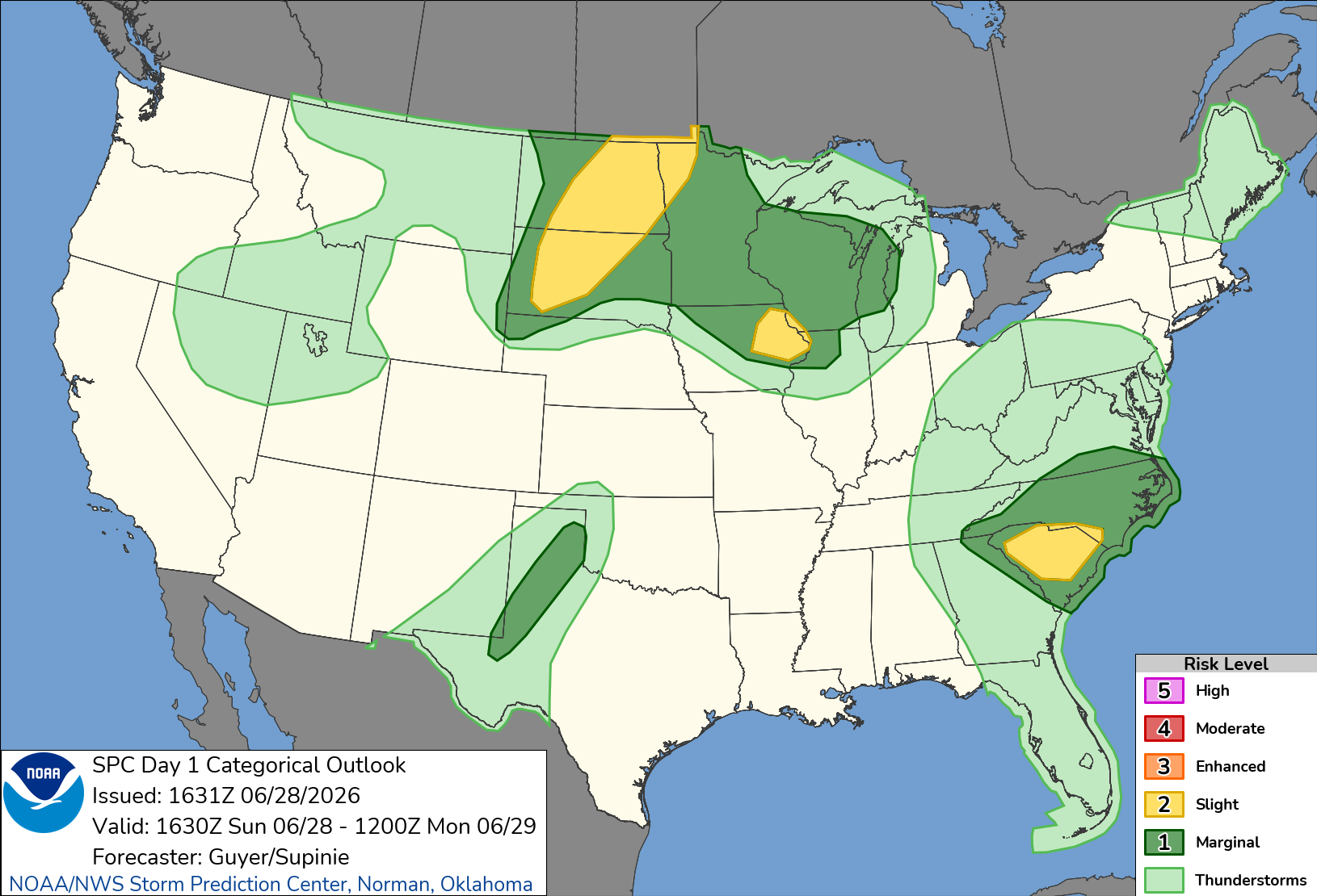
Today was the first day of Tempest Tour 9. The Storm Prediction Center issued a slight risk of severe storms over much of the Dakotas, mostly for the overnight hours on the 28th/29th of June. Little activity was forecast during the day. Storms were then forecast to develop in the far southwestern corner of South Dakota then move quickly northeastward, overspreading much of the rest of the Dakotas. The prospects for afternoon and early evening thunderstorms appeared slim. A long line of storms had swept through the area last night, producing a lot of wind as well as a couple of tornadoes. We were between shortwave troughs.
The forecasts had evolved considerably the past couple days. On Friday evening (it was now Sunday), I became concerned about a possible missed opportunity in eastern North Dakota into northwestern Minnesota. I was directing Tour 9B, and Craig, who was driving, called me, wondering whether we should try to leave Saturday evening rather than Sunday morning in order to make the drive to the Red River Valley of the North. I emailed the guests, telling them to prepare for a possible earlier departure. However, by Saturday evening, the forecasts had changed and no longer showed supercells there. It now appeared that the show would be overnight and into the following morning. I called off the early departure.
Leaving Denver
We left Denver after orientation and forecast discussion with the A group. We left Denver shortly before 10:00 AM. I had more of an ambitious attitude, wanting to get in place for the Day 2 risk, which was more certain, in the Red River Valley. I had Google set a course to Bismarck. This got us past the Black Hills, where hotels are expensive this time of year, and brought us to a location where I felt we had the best flexibility for chasing on Day 2. The route took us through Kimball and Scottsbluff in Nebraska, then through Rapid City and Faith in South Dakota. We would arrive in Bismarck after 10:00 PM.
As we drove northward, the forecast evolved. Satellite pictures showed a few towering cumulus in northwestern South Dakota. The HRRR began to forecast a supercellular storm near Bismarck (our target city) in the early evening, about an hour or two before we would arrive. While unable to chase this storm, we would be able to see it to the north, so I was happy about that.
The HRRR was pretty much spot on with the Bismarck storm. It developed a little earlier than forecast, but it was in the same area that the HRRR showed. As we left I-90 east of Rapid City, we could see it on the far northern horizon. We continued driving north on our planned route. My ambition was paying off (sort of).
Tour 9A was taking a more casual approach, and they were not anxious to drive all the way to the Grand Forks area, so they booked rooms in Kadoka, SD and took a more leisurely drive through Alliance, where they visited Carhenge. I don't think they were expecting to see much, but as we got farther north of I-90, towering cumulus were developing within sight of Tour 9A. It would be an easy catch if something developed out of that cumulus field, and it did. They ended up with a storm that was in the road void of Cherry County, and that storm eventually dissipated, but then another, more potent storm developed on the road south from Merriman, SD. This was a supercell with a great shape with a base that looked ready to produce a tornado.
Continuing Northward
Meanwhile, we continued northward. The storm we were targeting appeared to struggle at times, but it would regain a strong updraft and reintensify. We could see it the whole time to our north, and we seemed to be gradually gaining ground on it. It began to look bigger to our north.
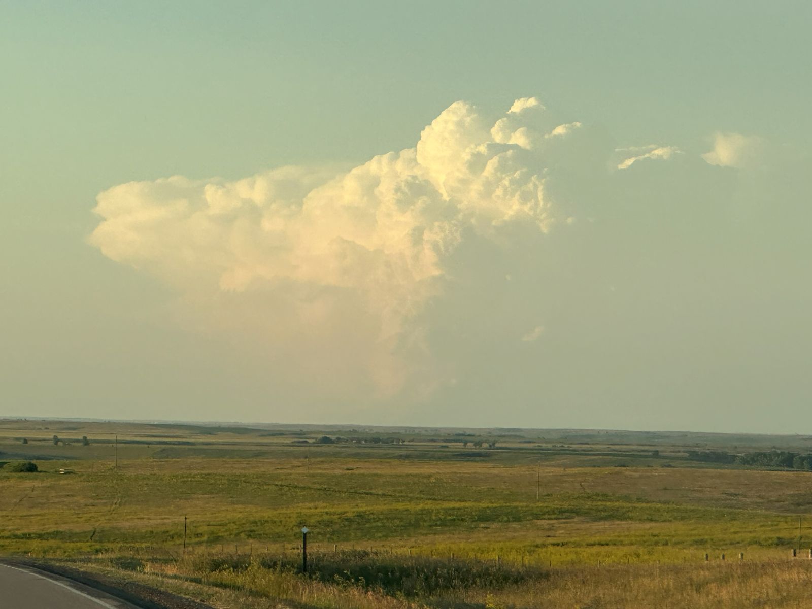
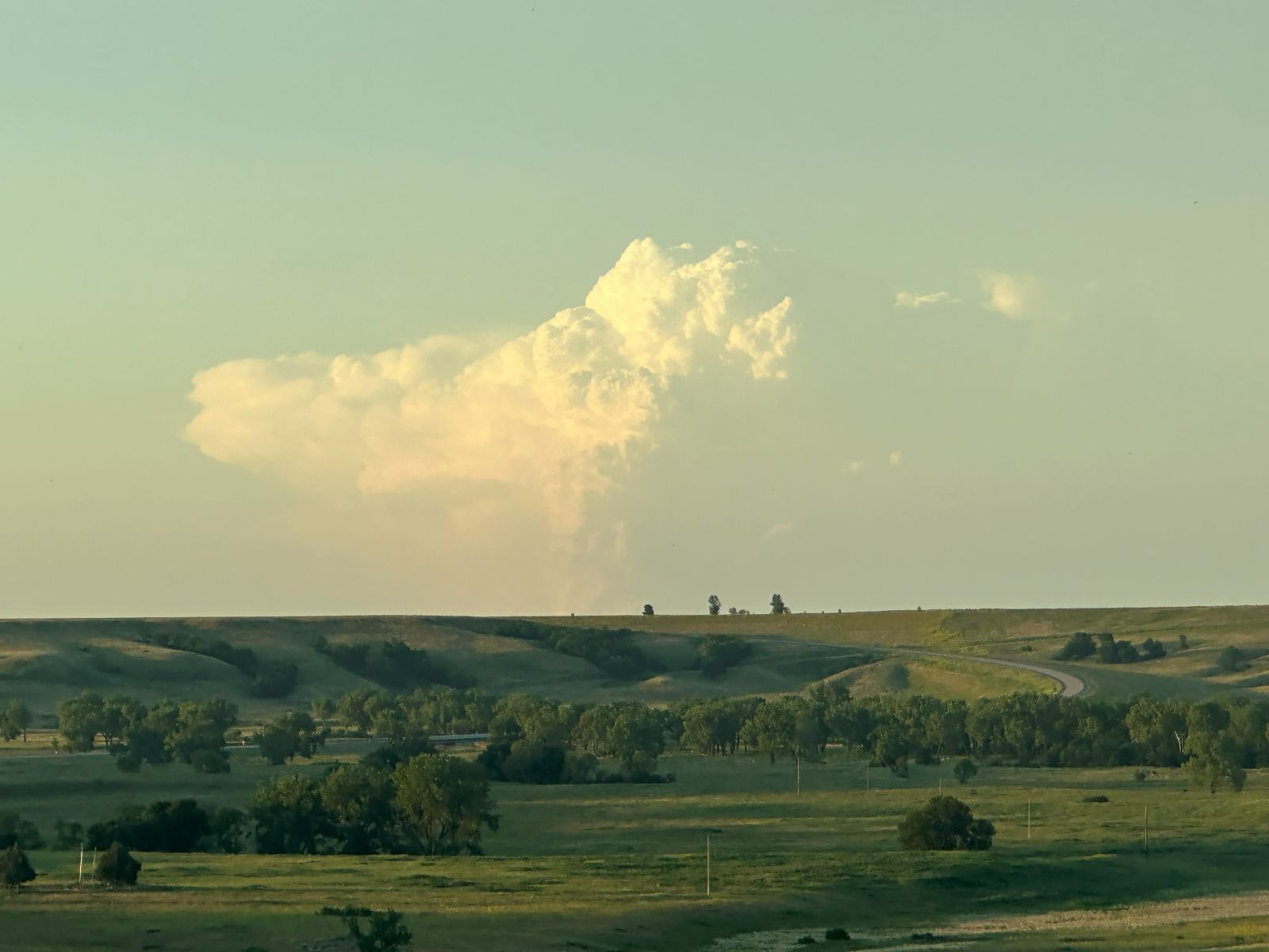
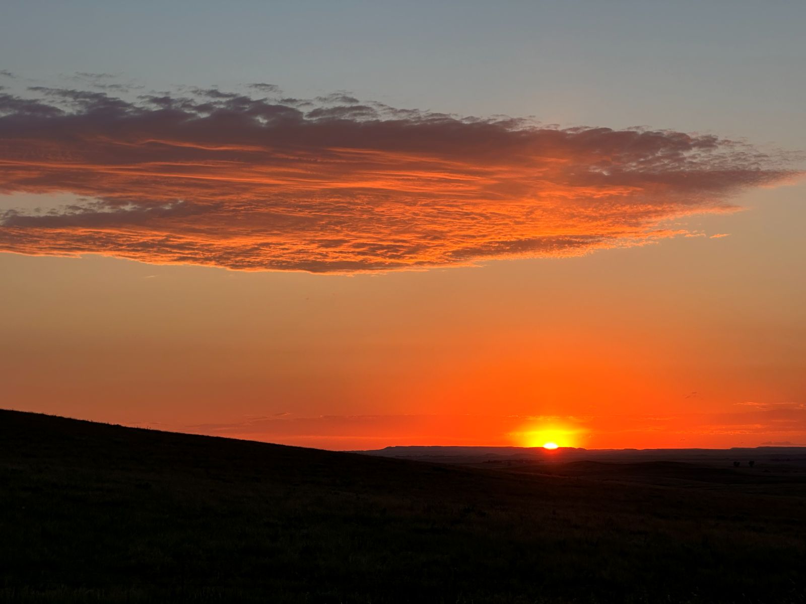
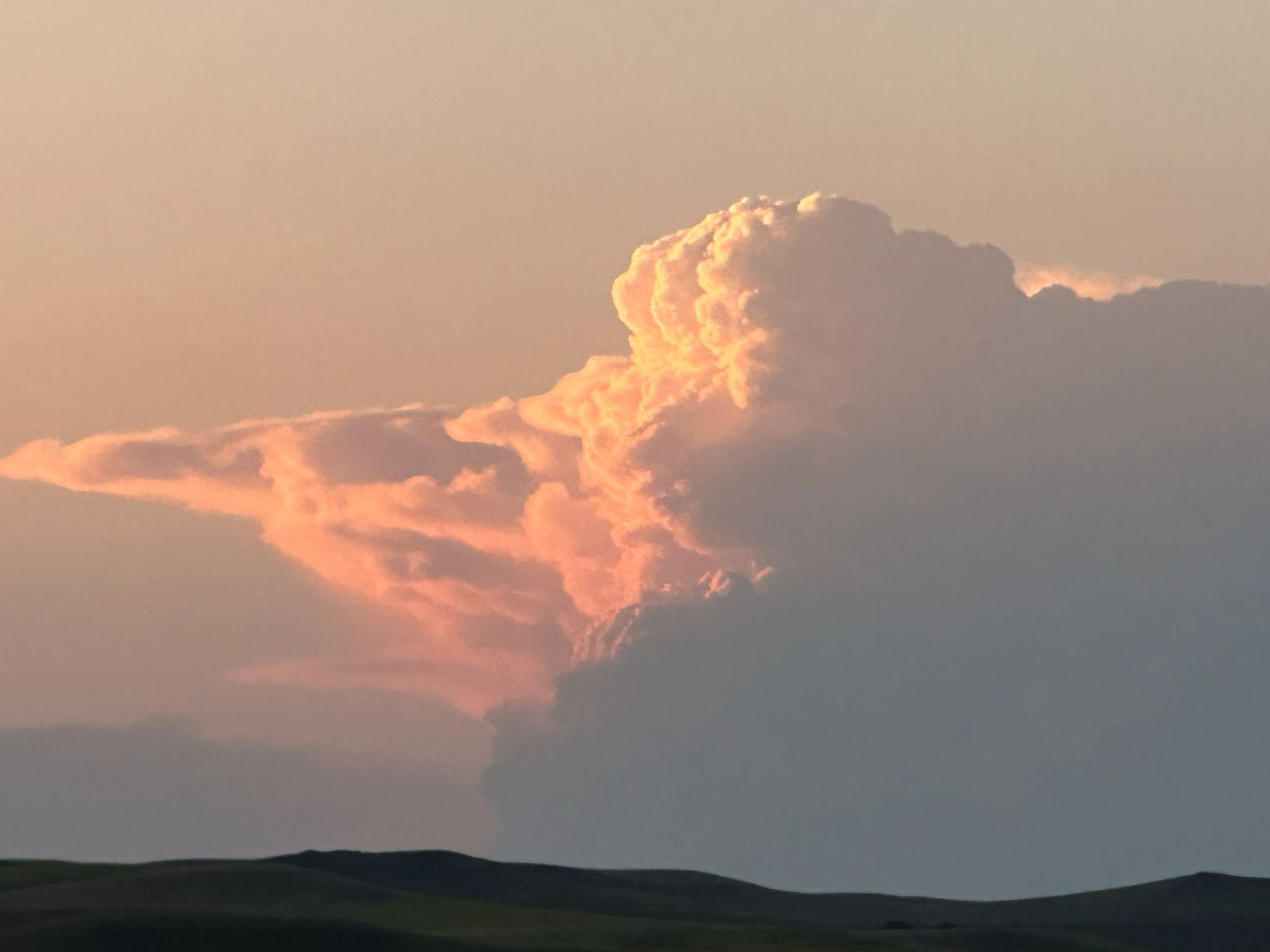
We stopped to view the sunset and take pictures of the back of our storm. New storms had developed to the northwest of Bismarck, and apparently, one of these produced a tornado (I have not seen any pictures of it). These storms shaded the Bismarck storm, which was now weakening more permanently.
We continued the drive to Bismarck, and we got a much better view of the storms to our north. As the skies got darker, the lightning in these storms became more prominent. There also appeared to be a few noctilucent clouds in the sky above these storms. They were pretty faint but definitely had that shape
Wrap-up
A long drive only to look at distant storms. Tour 9A, with less ambition, got on a nice storm, and we did not. Skipped the early departure only to have a target appear, for which an early departure would have helped. If we had met at 7:00 AM and done a quick weather briefing and orientation, we probably would have arrived barely in time. We did not miss any tornadoes in range, and had we left earlier, we would have been on the Bismarck storm and missed the only tornado near Riverdale, ND. The best tornadoes were in Canada, far into Manitoba and Saskatchewan.
Now, let's hope for a good chase day that we pre-positioned for!