The Setup
After a cold front crashed into the Gulf, a modest moisture is returning to the southern Plains underneath northwesterly mid-tropospheric flow. This is not the ideal setup for tornadoes, but the shear is sufficient for supercells, and we could get one or two of them today. Otherwise, a line of storms is expected to develop along another cold front moving southeastward through Oklahoma. Our plan is to get north of Oklahoma City somewhere, depending on where conditions look best for supercells.
We started the day in McAlester and went to breakfast at 9:45 AM. We headed northwest after that.
The Bonus Storm
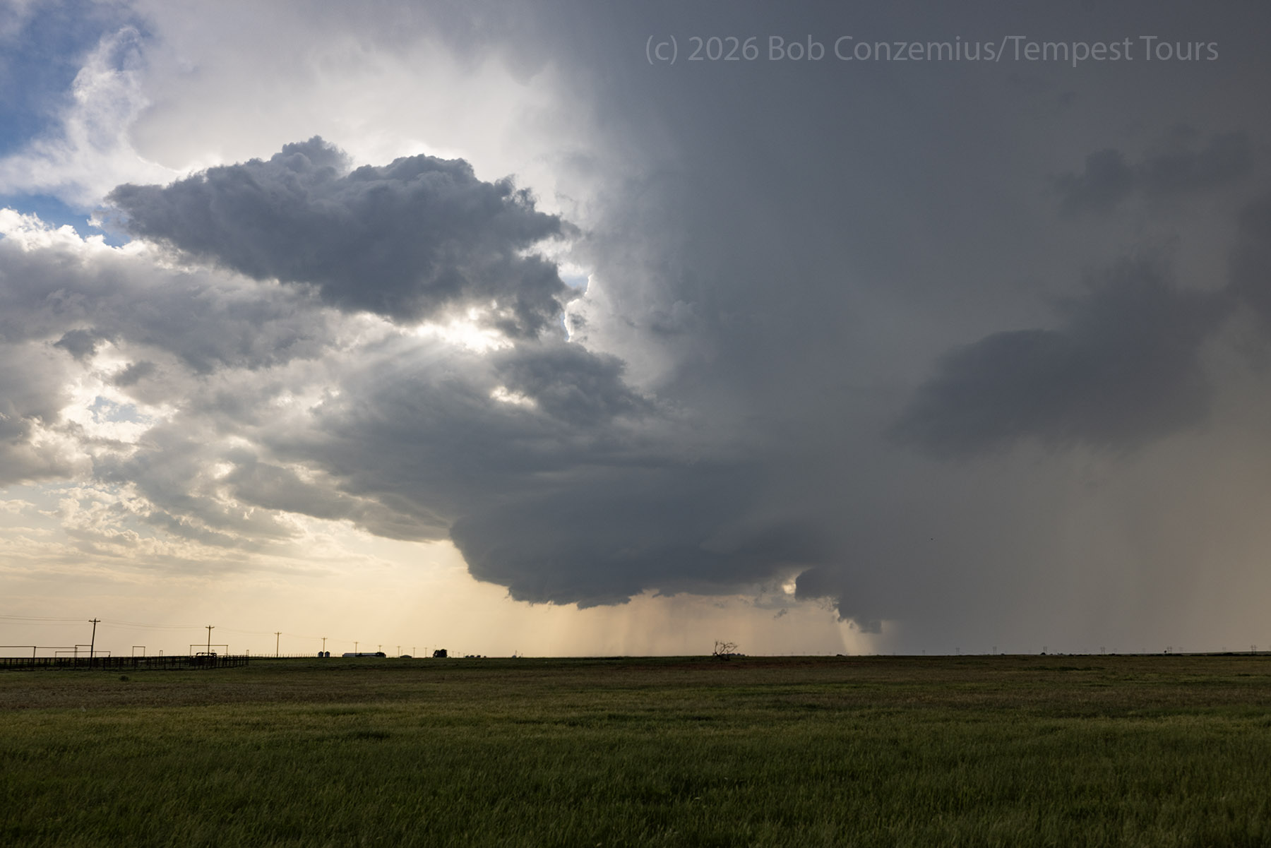
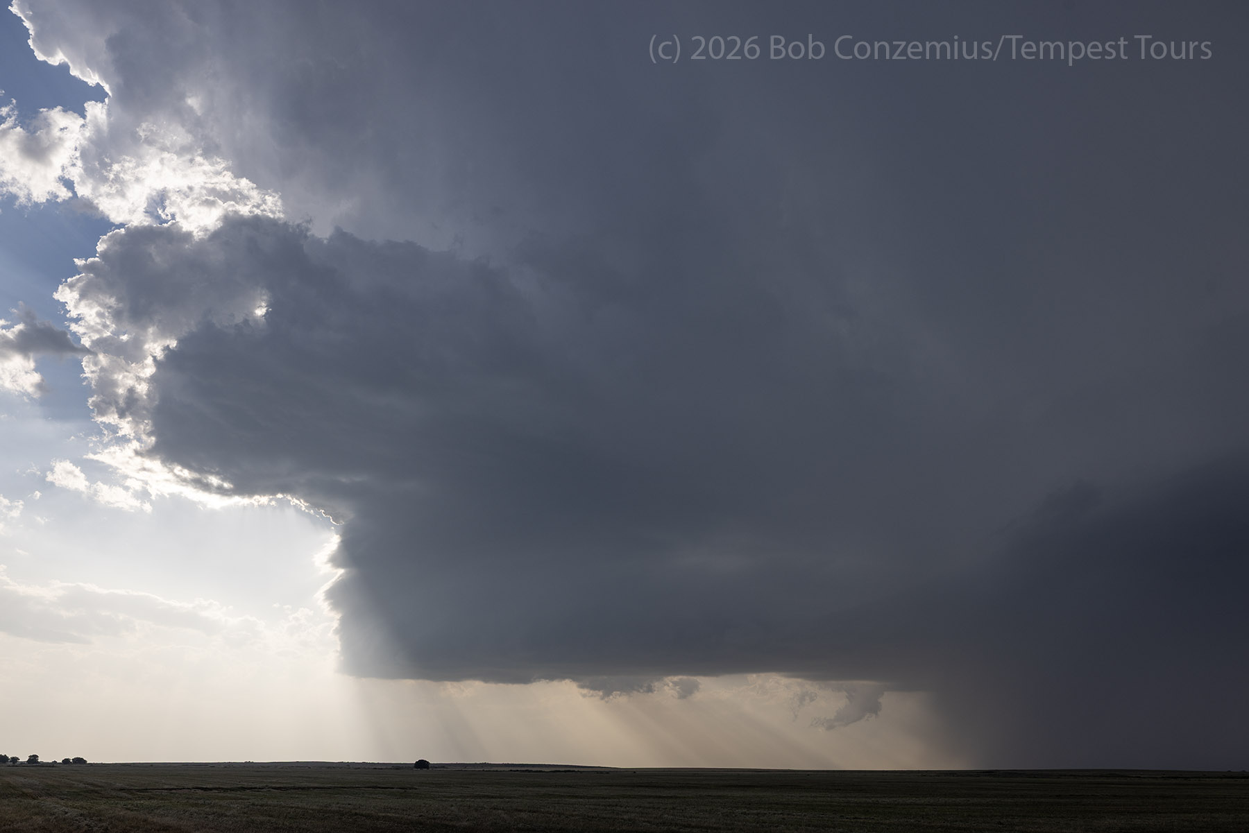
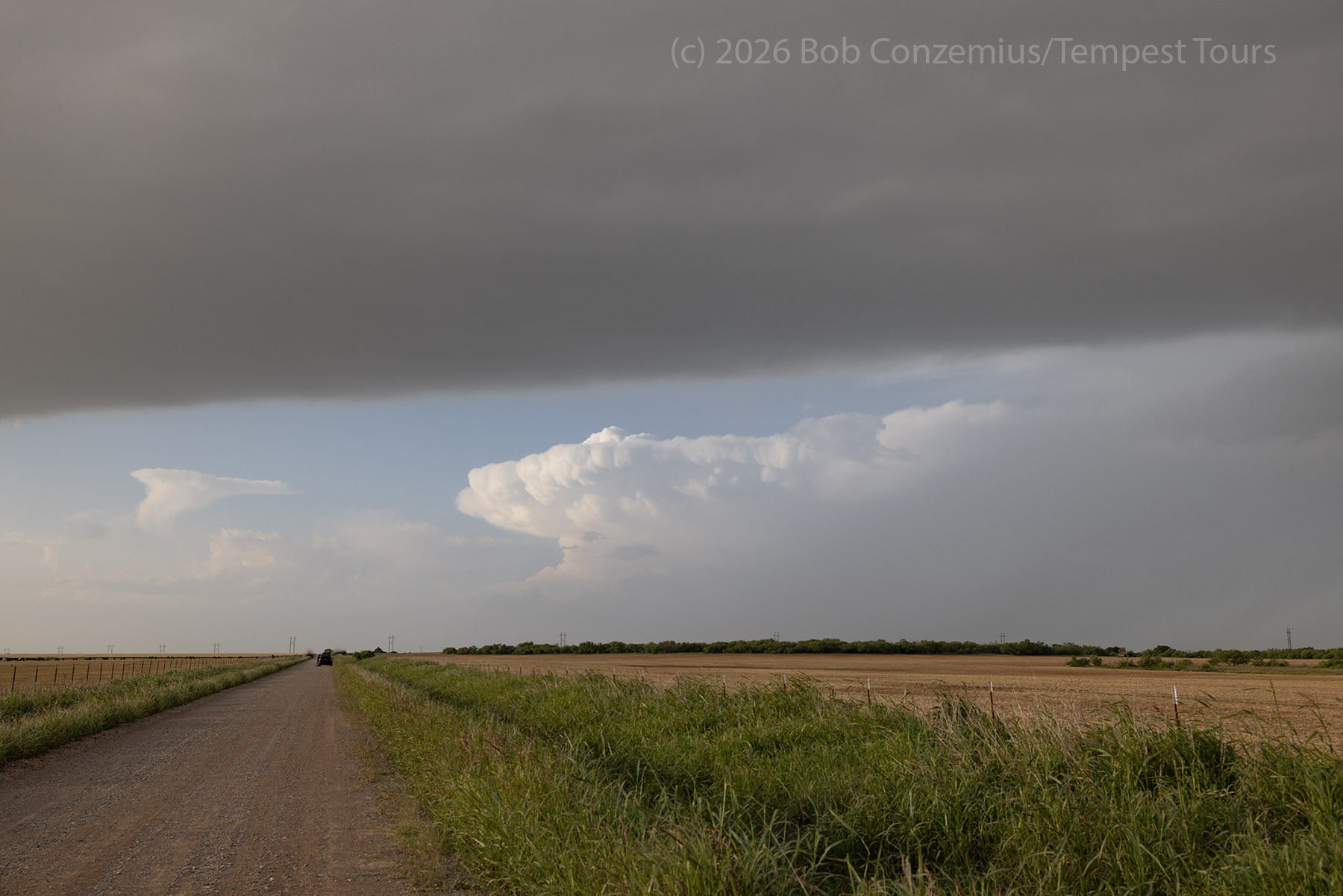
No storms were forecast to develop to the south of the cold front, but a storm developed south of the Wichita Mountains. We went for this storm, and it was a beautiful storm for about 30 minutes. We chased this storm near Frederick, OK for a while before it started to weaken and dissipated.
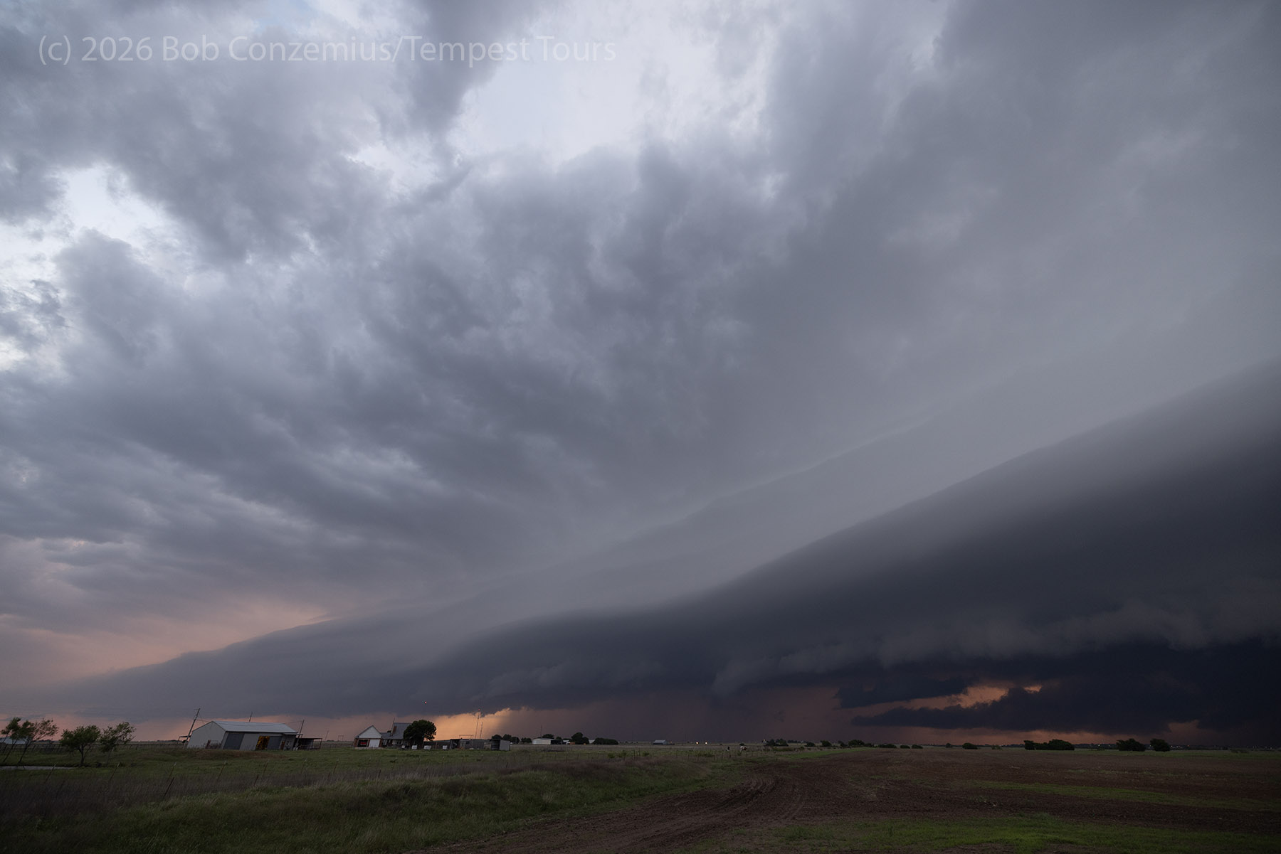
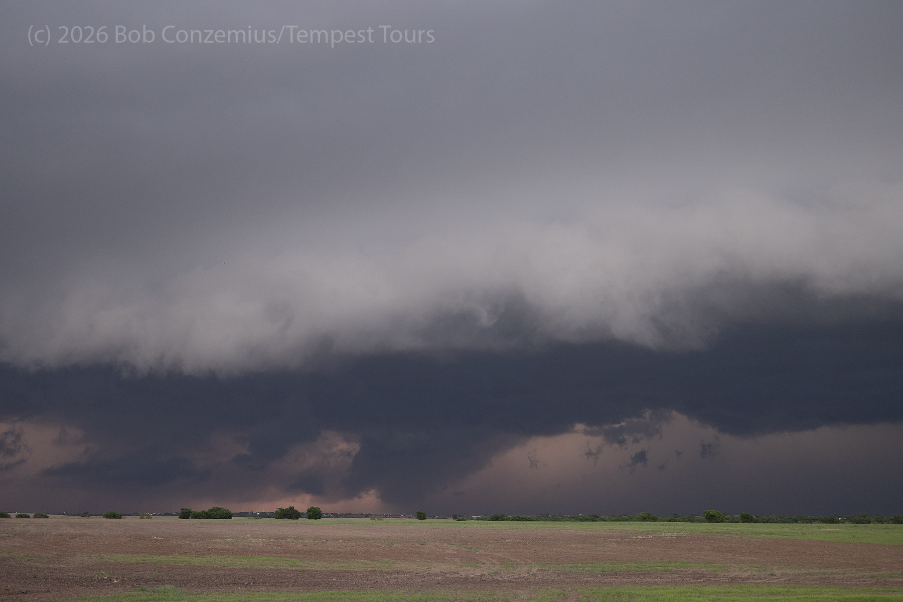
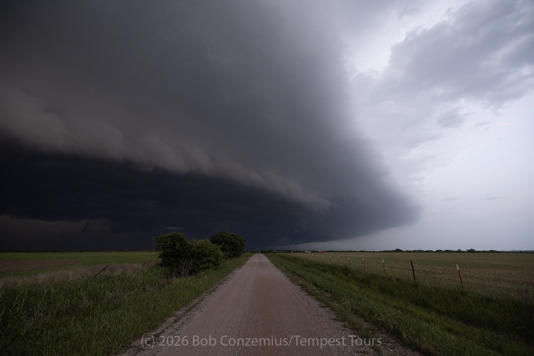
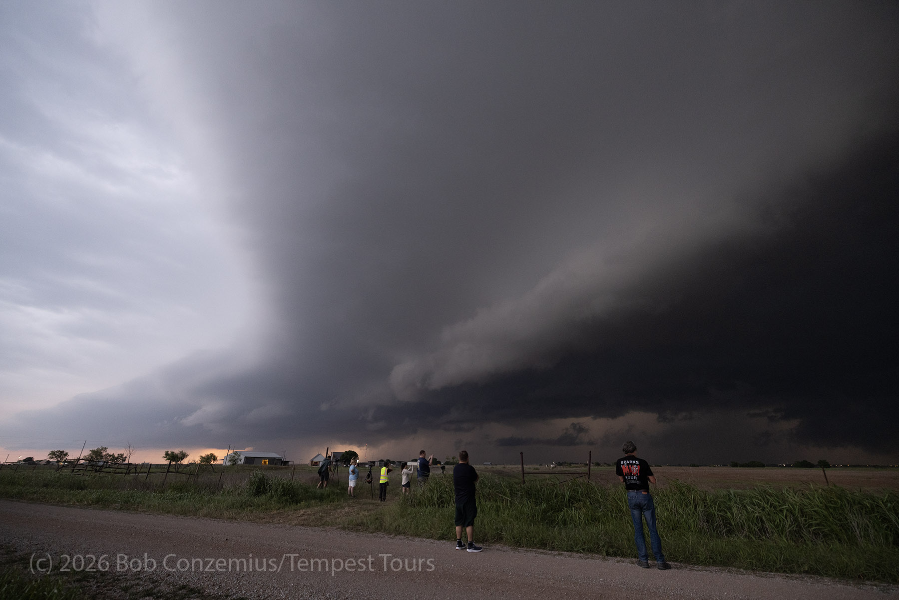
The Outflow-dominant storm
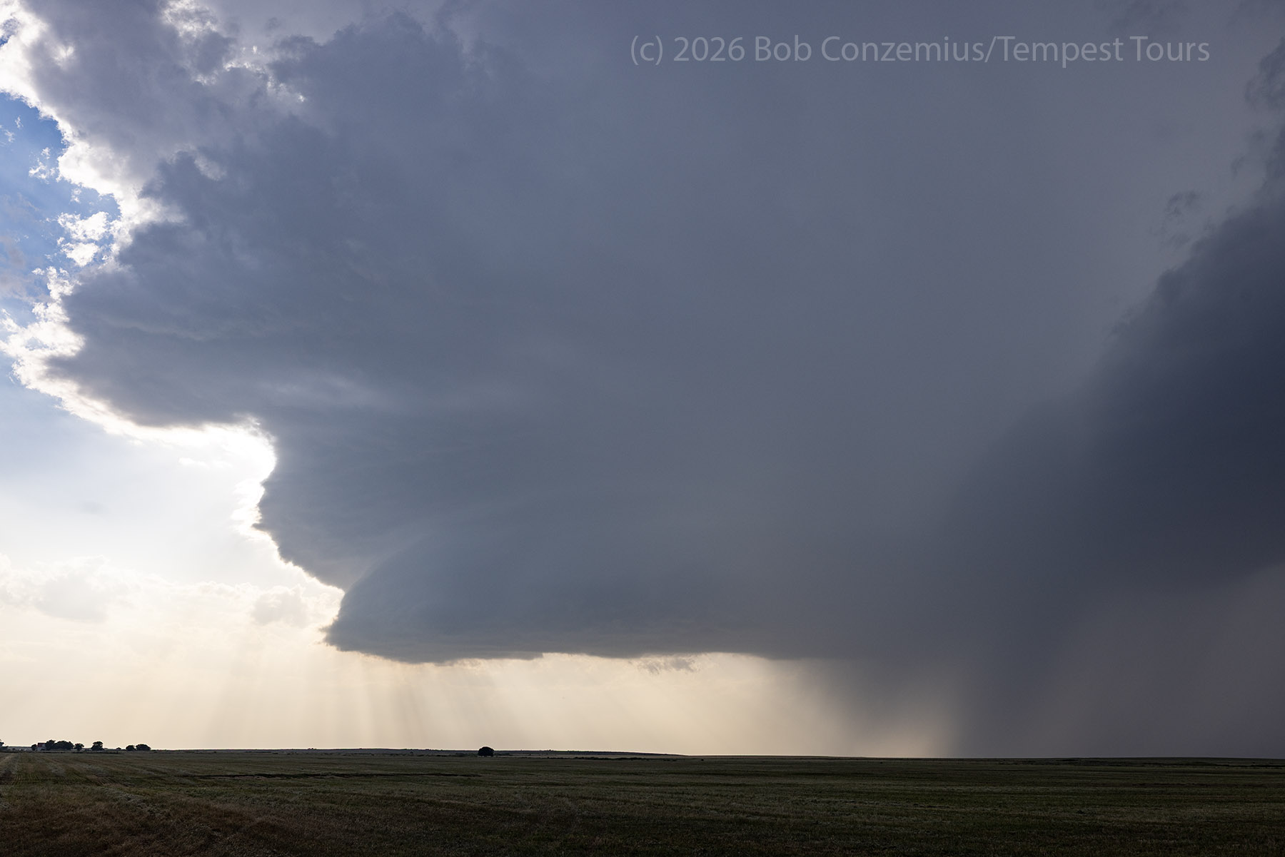
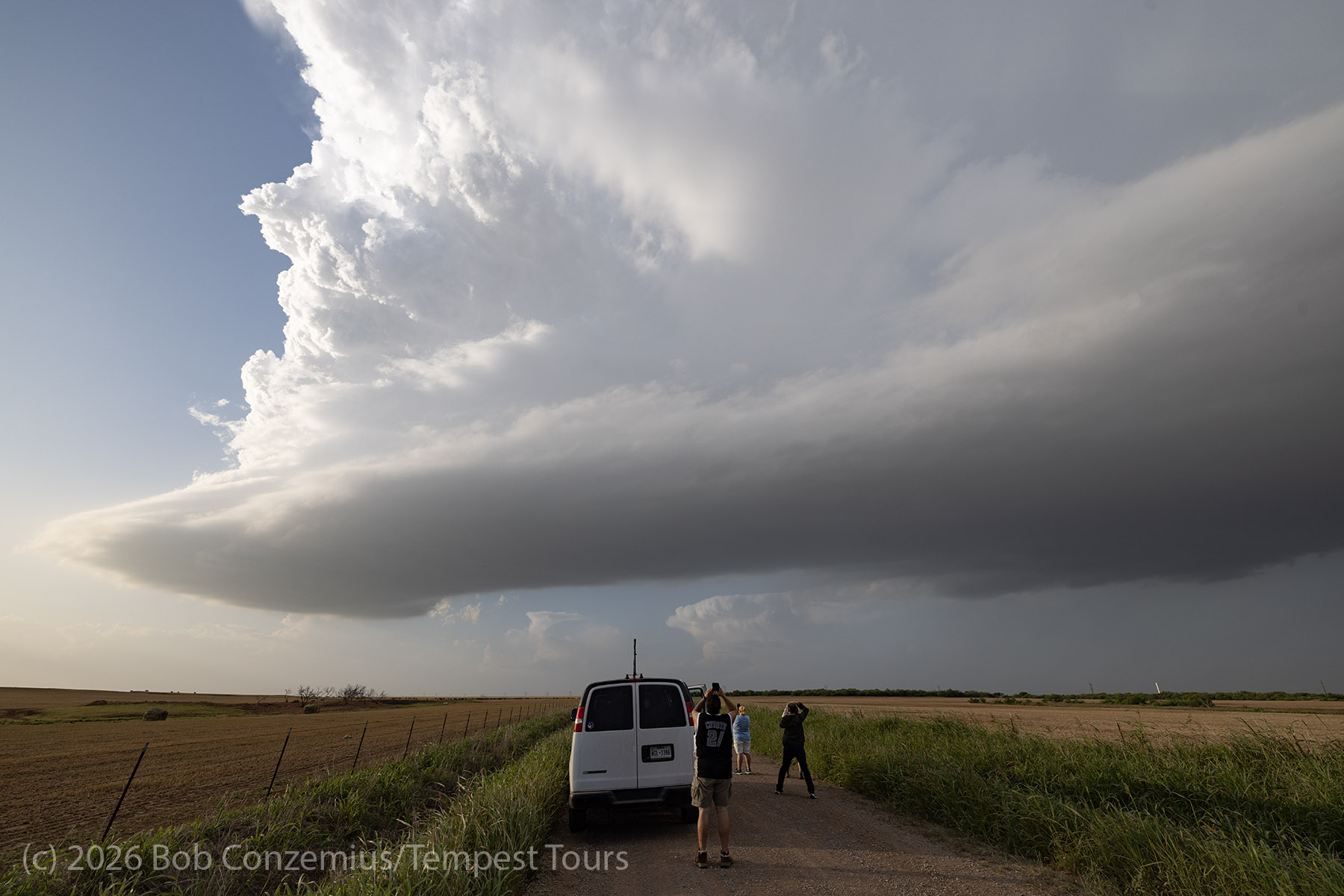
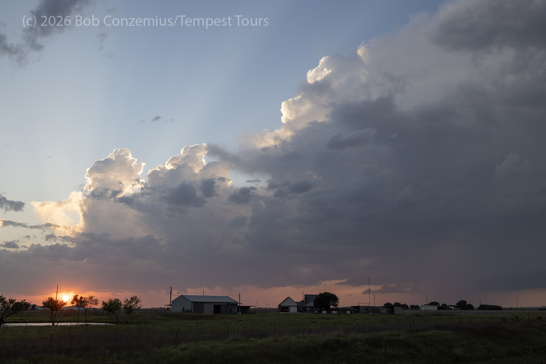
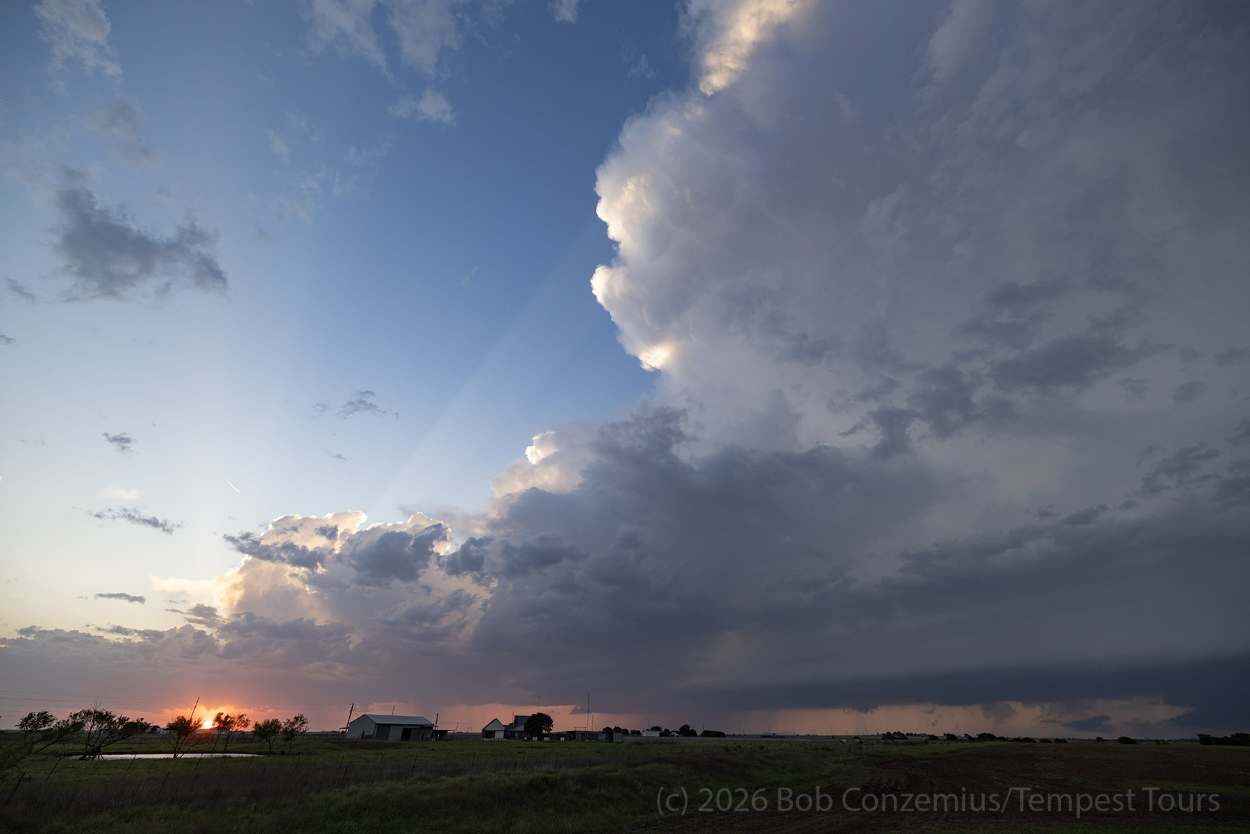
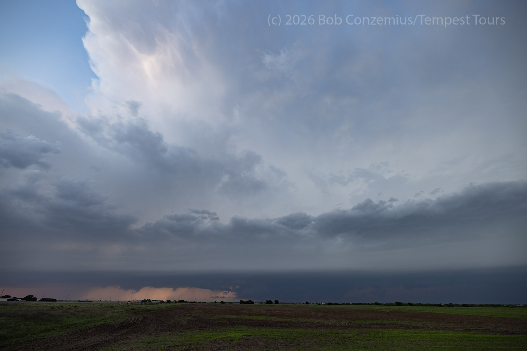
We quickly found a target to our north. The originally forecast line of storms was coming southward through Oklahoma, and we had an easy opportunity to meet it near Lawton. We drove back north to near Geronimo and stopped to watch it come south at us over the next 30 minutes or so. This all happened at sunset.
Wrap-up
Nice day with a bonus storm. Bill was ahead of me on the bonus storm. I was not planning on going that way (although I was driving, not looking at data quite so much).