The Setup
A low presssure area was moving through southeastern and east-central Colorado. Northeast of this low, east-southeasterly winds were bringing moisture and instability upslope into the eastern part of Colorado. The moisture quality looked to be pretty high with temperature-dewpoint spreads only around seven degrees or so. Temperatures looked a little cool with model forecast soundings showing temperatures in the 60s just north of the warm front, but the low-level instability looked okay from Limon to Burlington. Farther south, temperature-dewpoint spreads were a bit larger (greater than 15 degrees), and there was not as much low-level turning of the wind. I decided to chase the Limon-Burlington corridor, where HRRR showed a supercell or two with a nice helicity swath.
Our other tour director, Bill Reid, liked the area farther south. We both left Dumas in the mid-late morning with a destination to the northwest in Colorado.
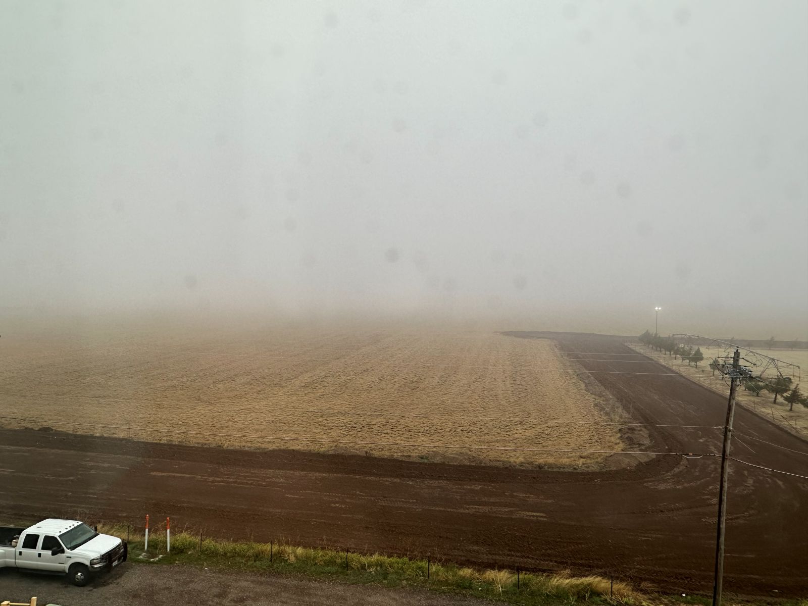
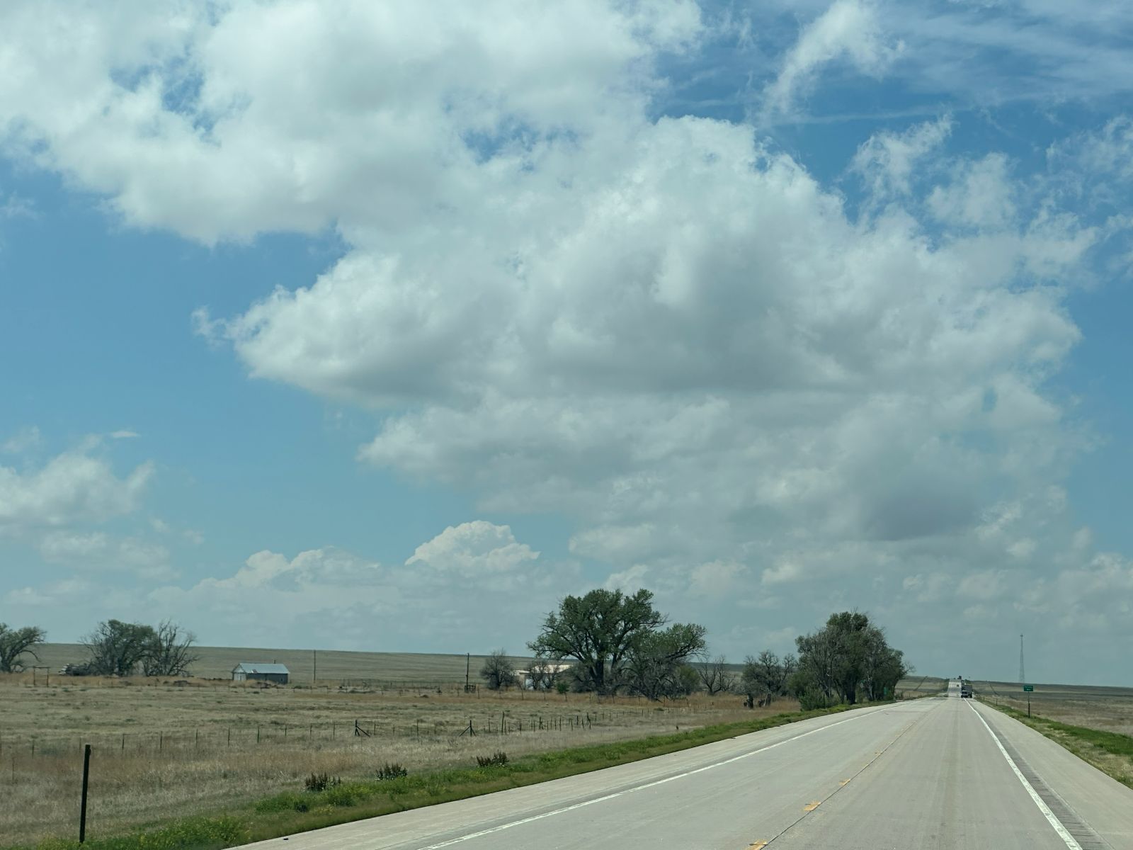
An interesting note to the morning was that we awoke to low clouds, fog, and drizzle. When I went for my morning run, the drizzle was so heavy that it almost felt like rain at times. Usually, drizzle is a good thing to see on the morning of a chase, particularly if you're along a warm front.
The Chase
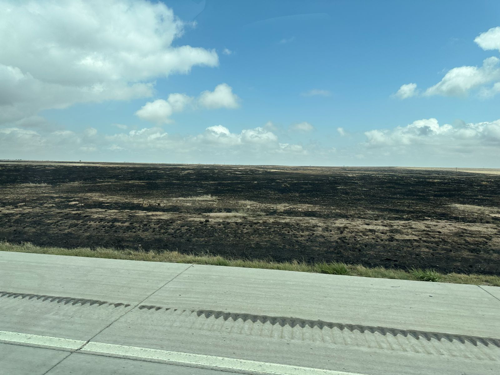
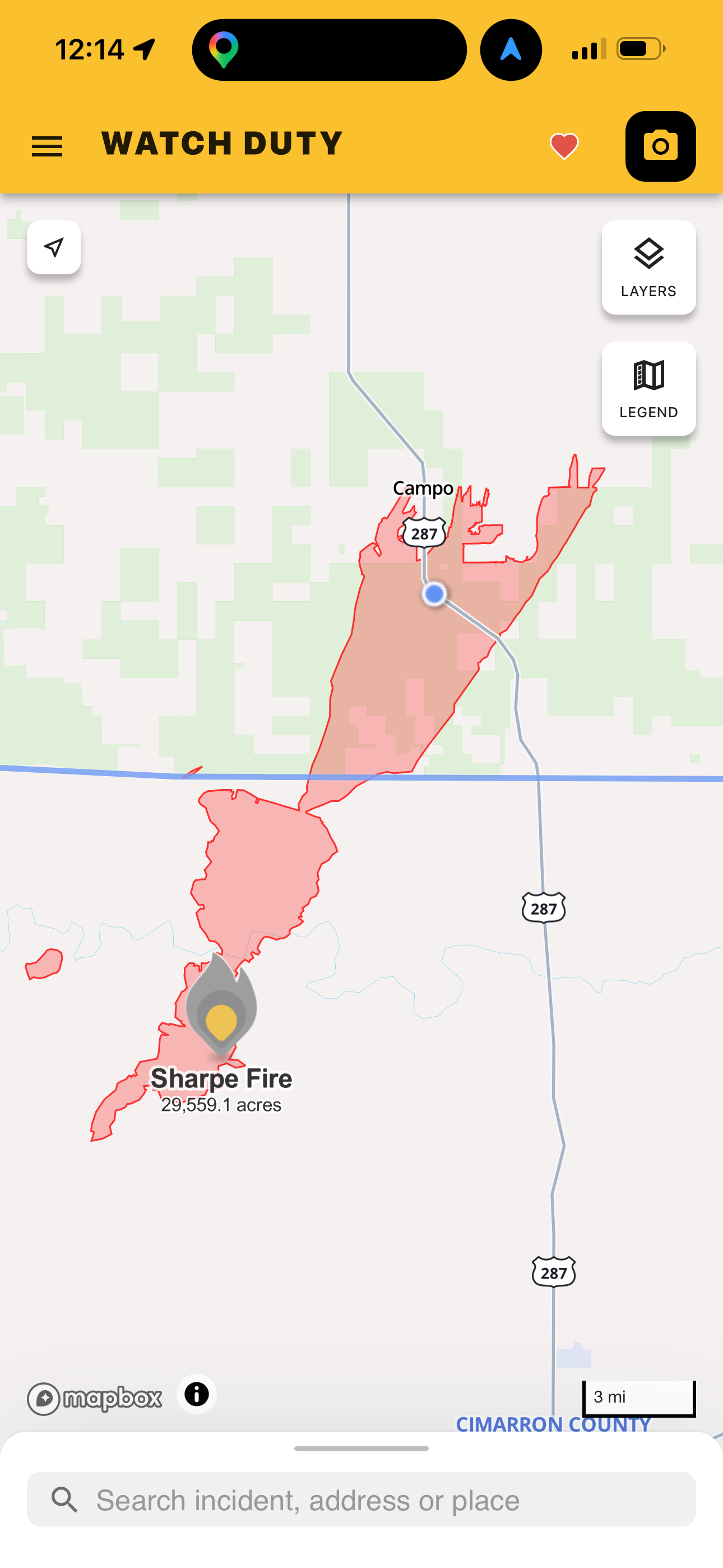
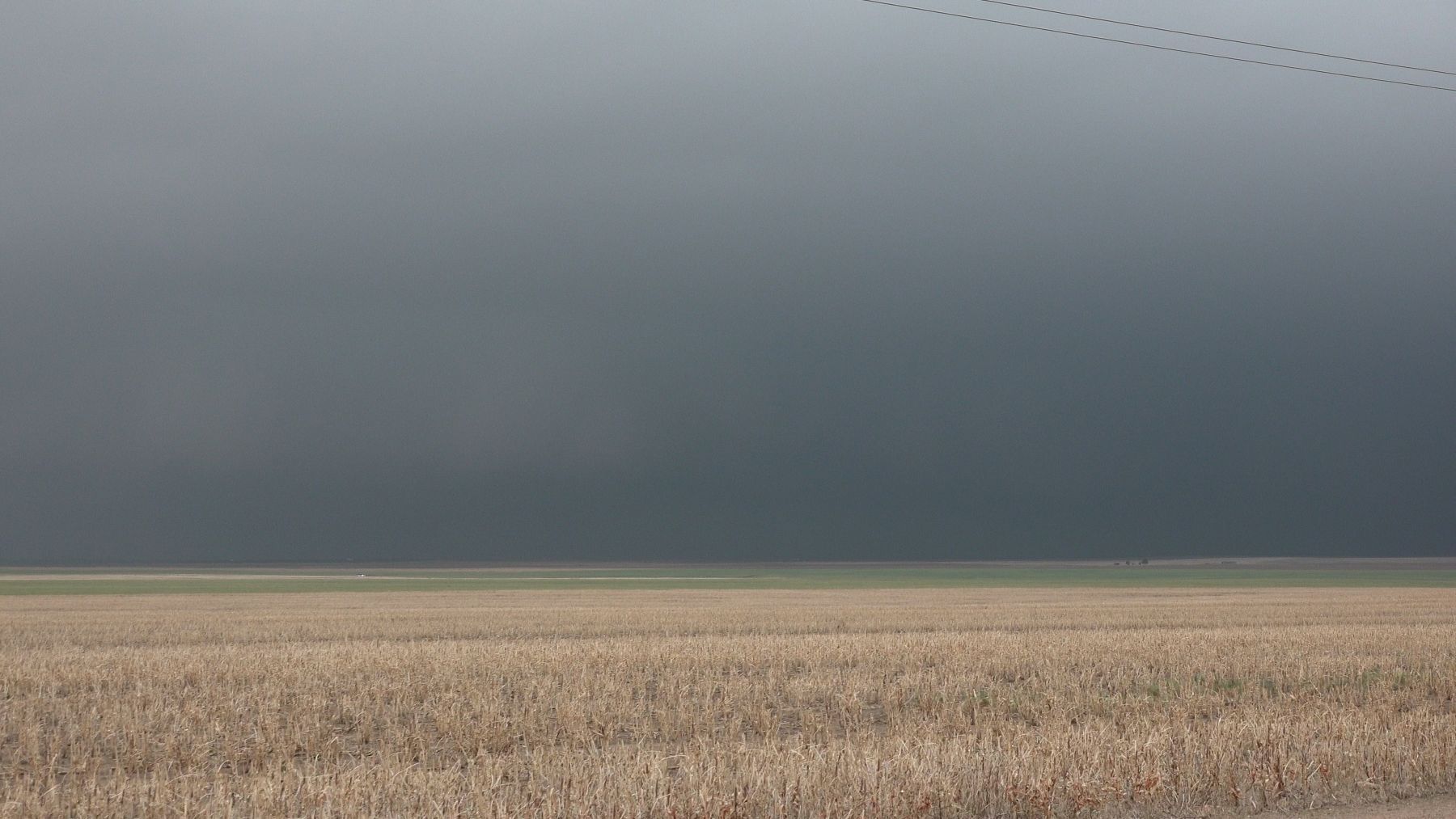
The fog lifted and quickly evolved into a dense cumulus field. On the way north, we crossed through a large burned area from fires that had occured three days earlier (May 18). These large grass fires burned tens of thousands of acres.
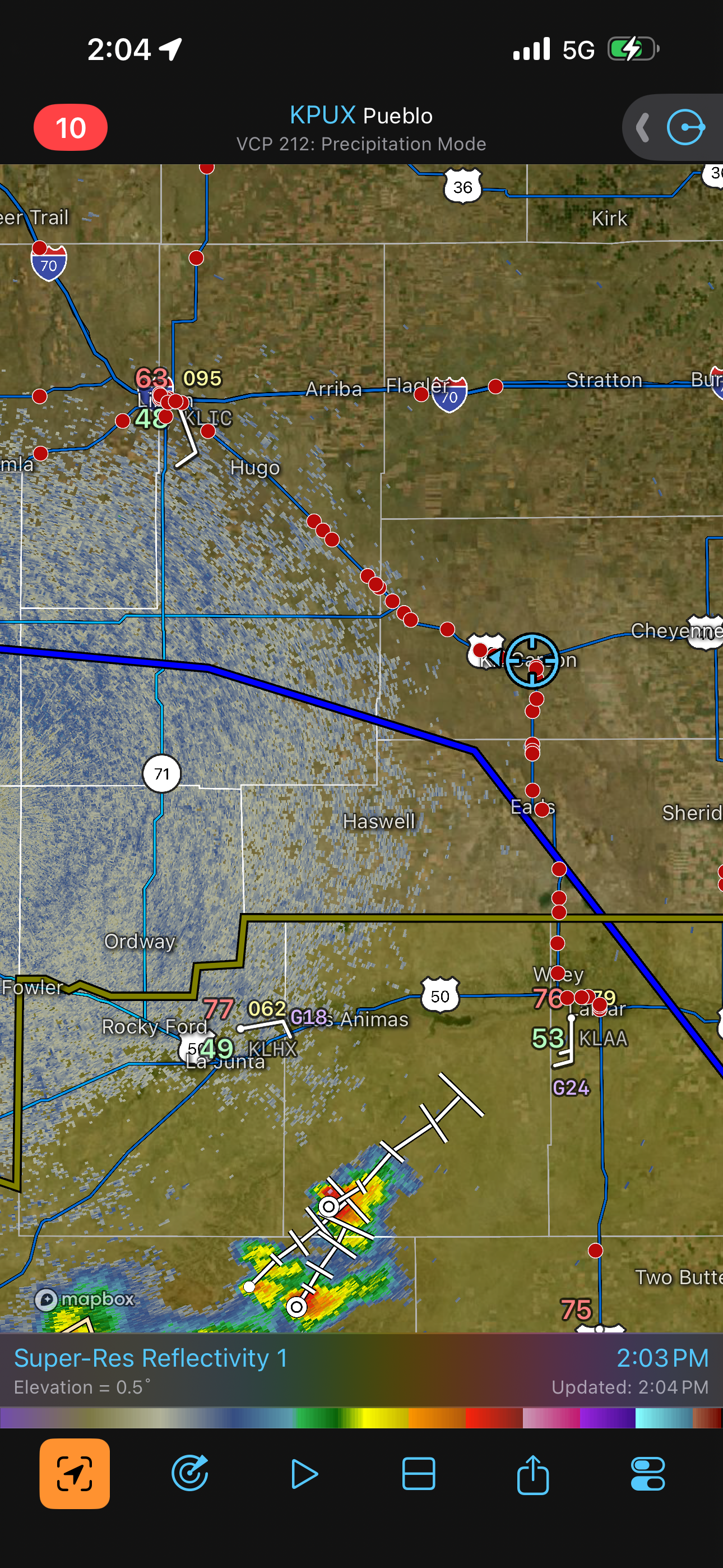
We ate lunch in Lamar and continued stair-stepping northwest on various state and U.S. highways. I thought the chase crowd would be split, more or less evenly, between the southeastern and east-central Colorado targets, but as I looked at the Radarscope app, I could see that the majority of chasers were headed for the Limon area.
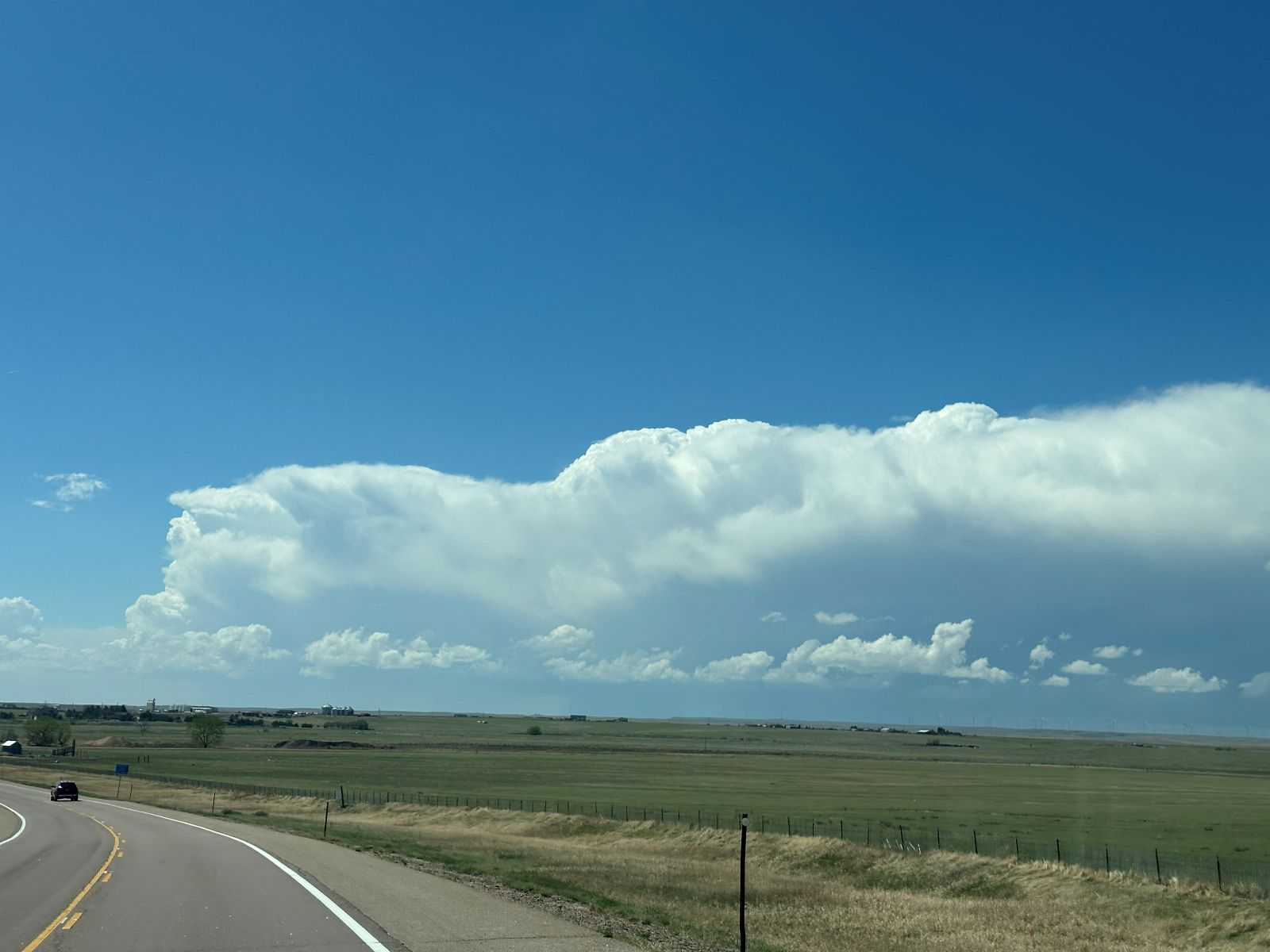
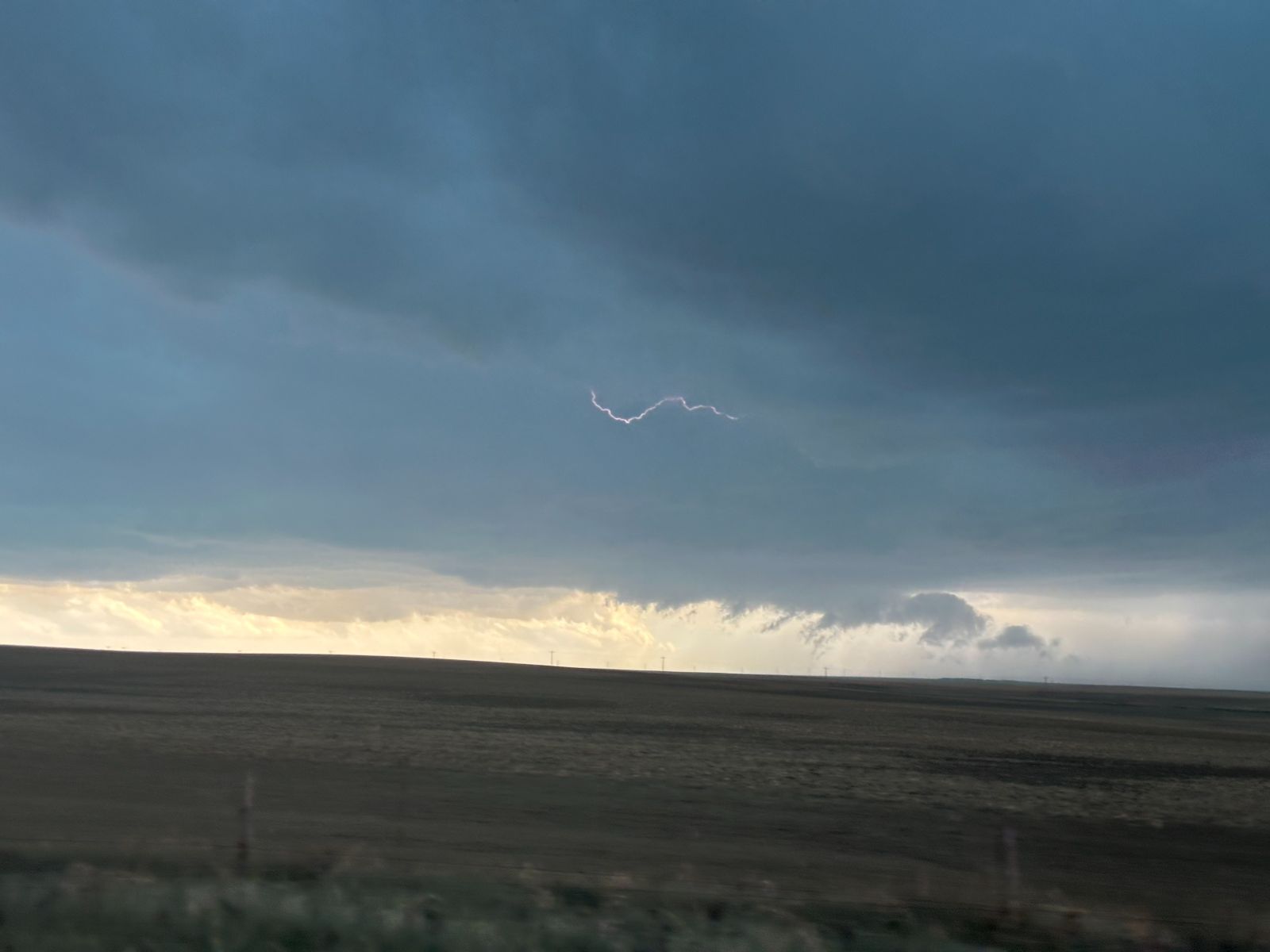
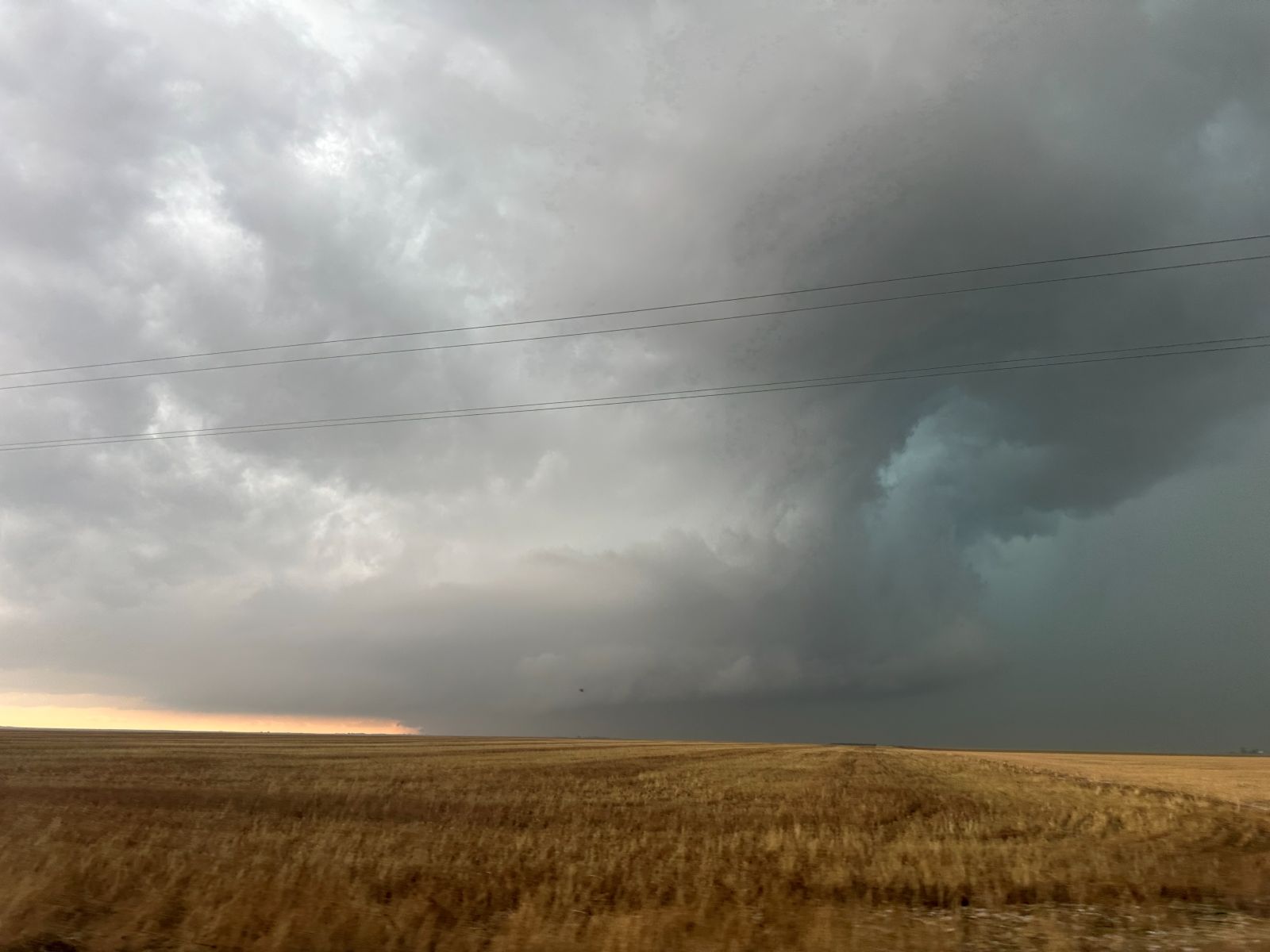
We avoided the Limon pit stop area by stopping at Hugo, a few miles to the southeast. Before we arrived at Hugo, we began to see developing cumulonimbus clouds at 2:29 PM. As we continued to Limon, we saw an expanding area of thunderstorms northwest of Limon. The show was underway!
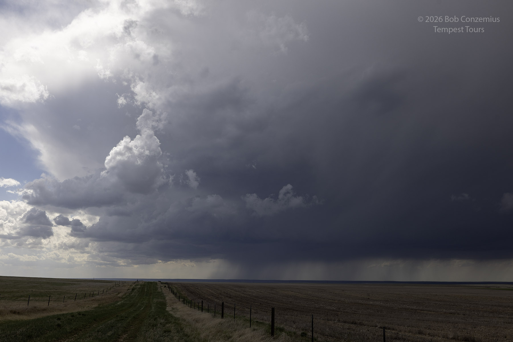
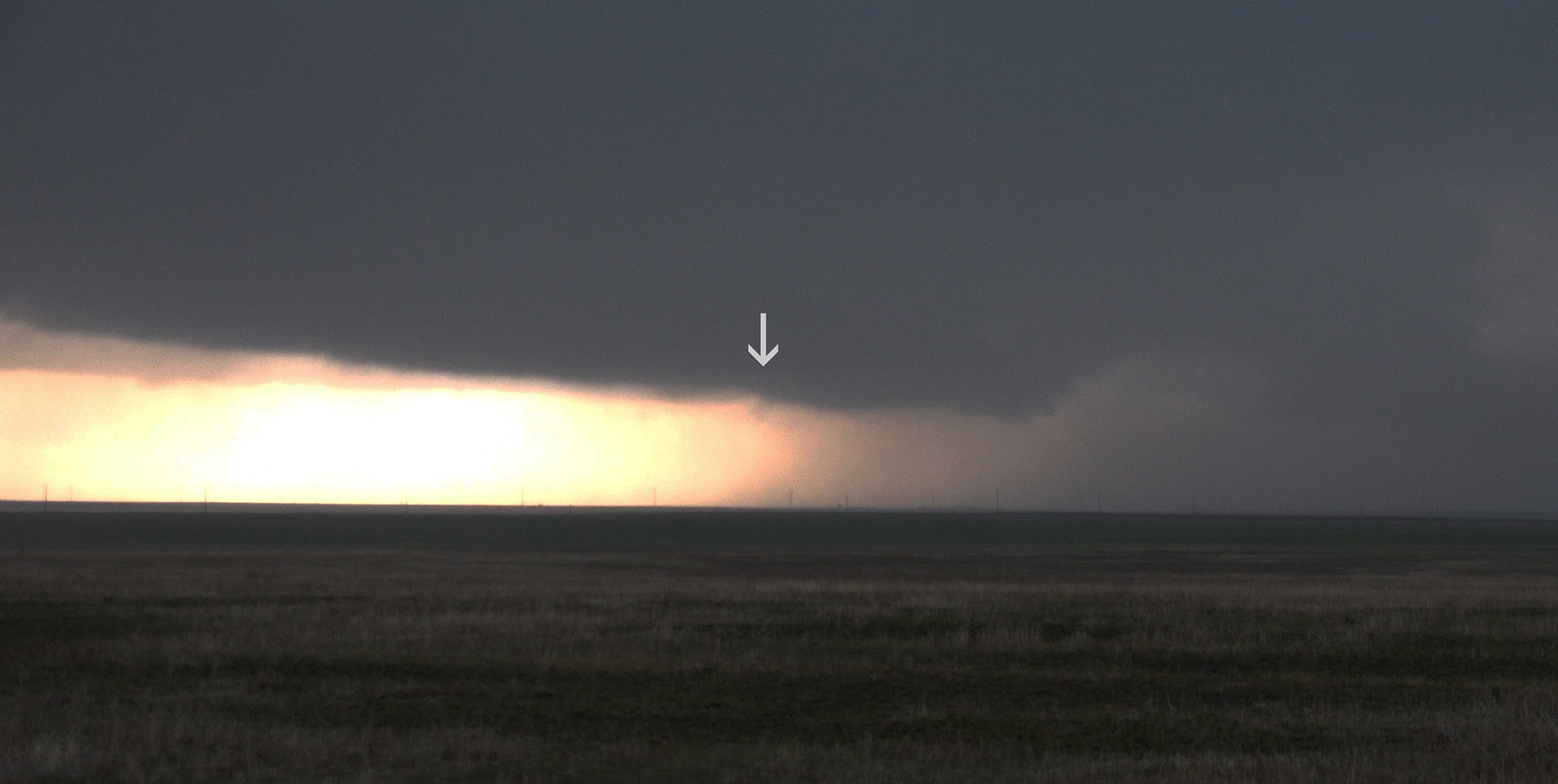
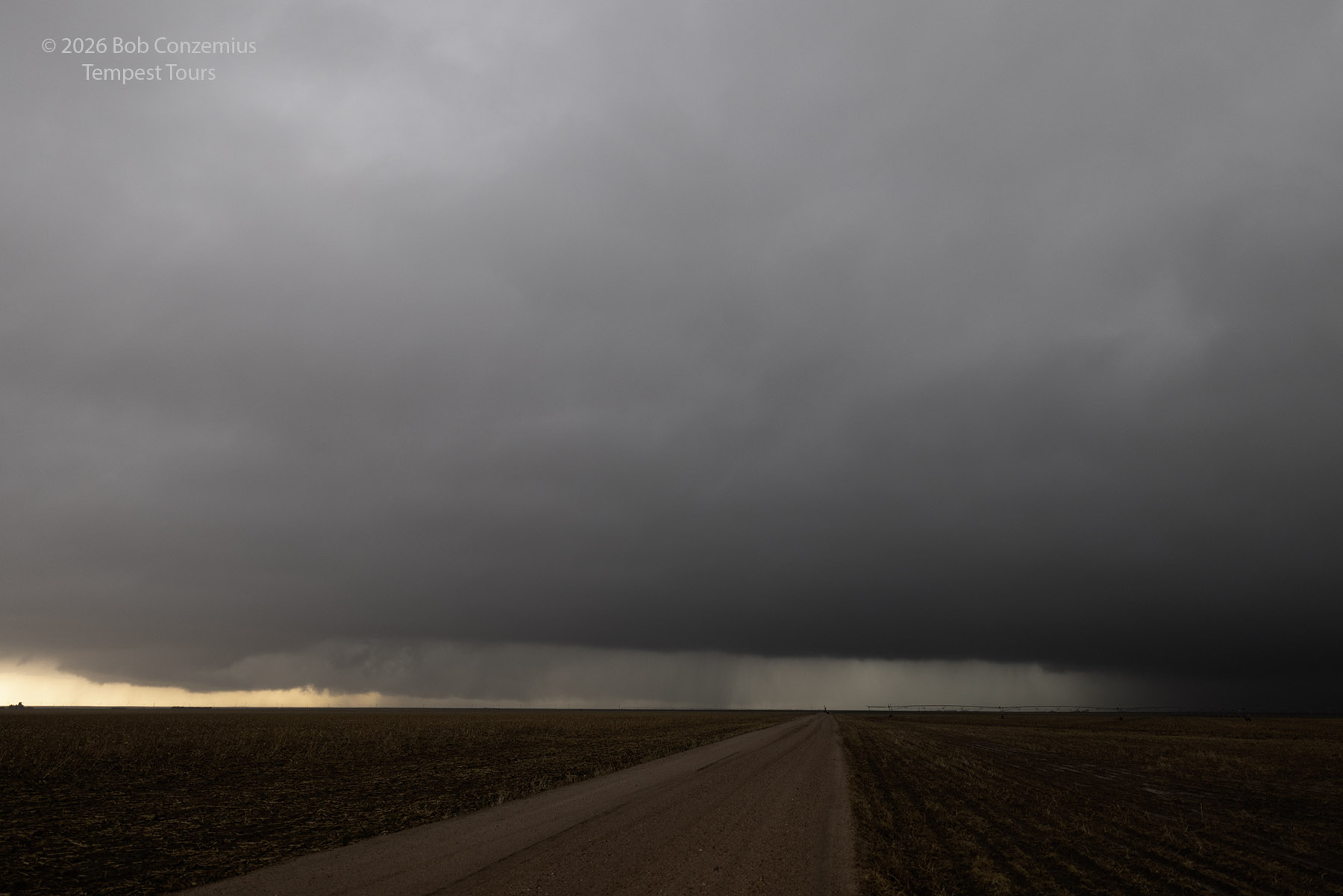
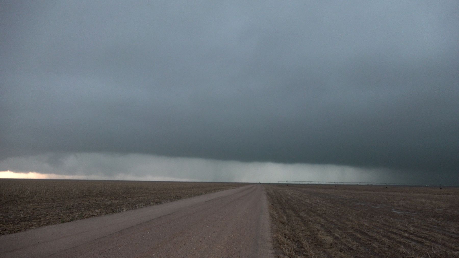
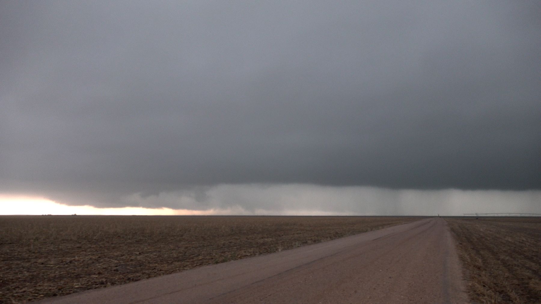
Once we left Limon, I warned everyone that it could be a long time before the next bathroom break because we were traveling through an area without any major towns, and it looked like the storm would keep us nearly 20 miles north of Interstate 70, making it very time-consuming to stop at gas stations. We found a location just off a paved road, east of the strongest storm, and since the storm was high-based, we had a long time to view it from well to its east as it approached. We stayed at the first viewing location for nearly 45 minutes.
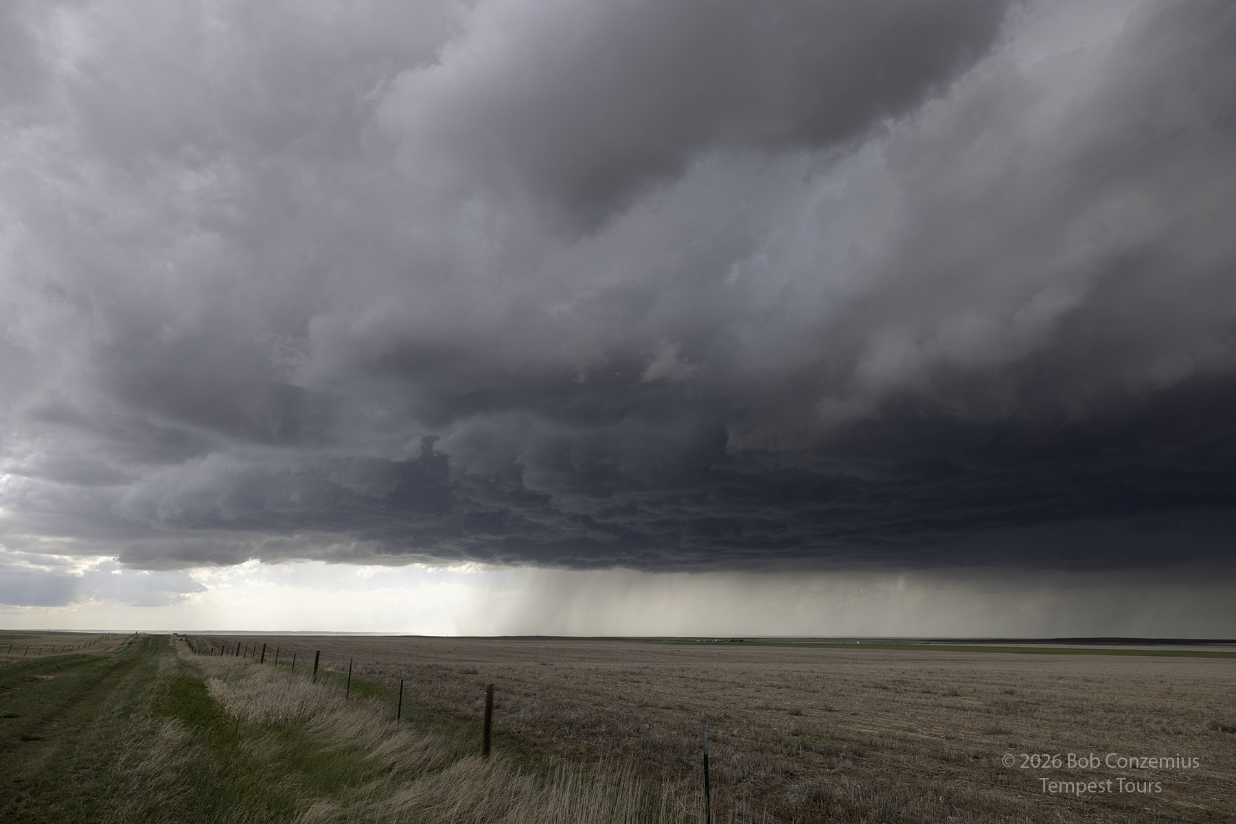
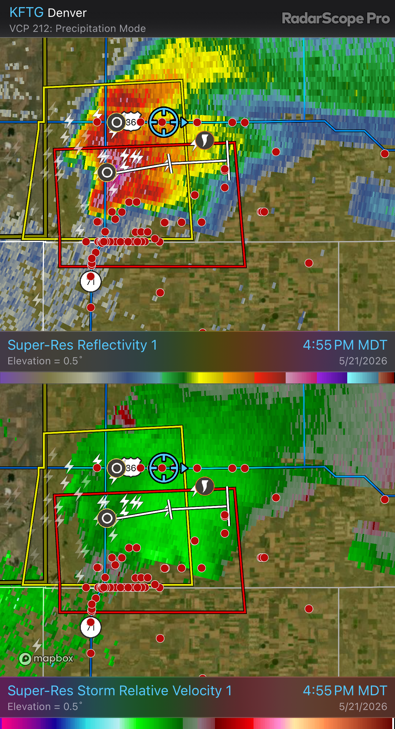
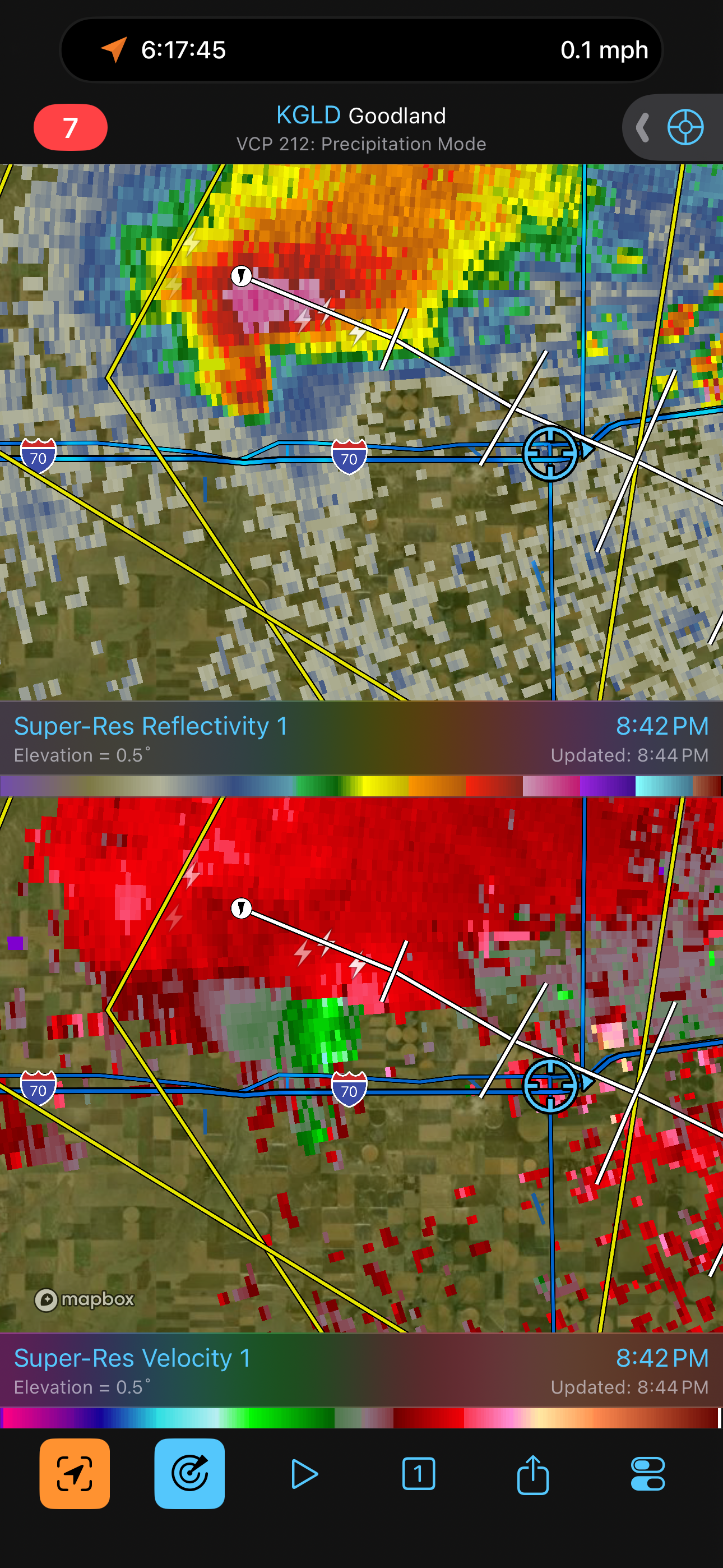
The storm got close, so we decided to move north and get to the nearest paved east road before the large hail got to our north-south road. We proceeded northward but stopped when we spotted a wall cloud and also saw one of the Doppler on Wheels. I said hello to Josh Wurman, and he invited the Tour 4B guests for a quick look at the radar screen. As we left, the wall cloud was starting to look rather interesting, but we needed to get east.
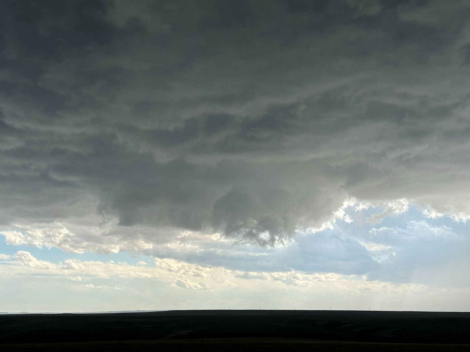
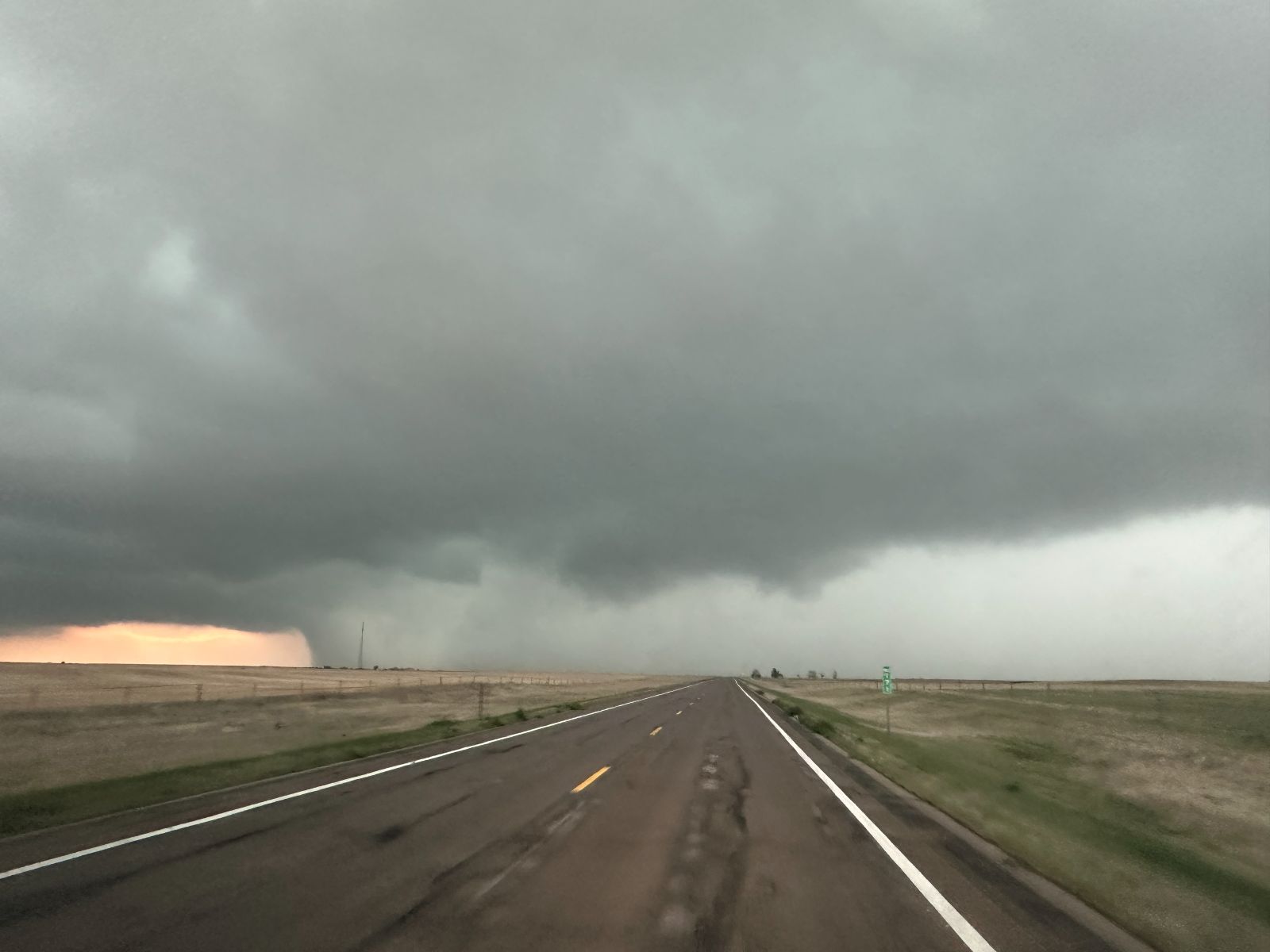
We turned east on U.S. 36 from Last Chance. We got into some rain and the core of the storm obscured our view of the wall cloud, which was now to our south. After a few miles on 36, we got enough in front of the storm that we could see the wall cloud again.
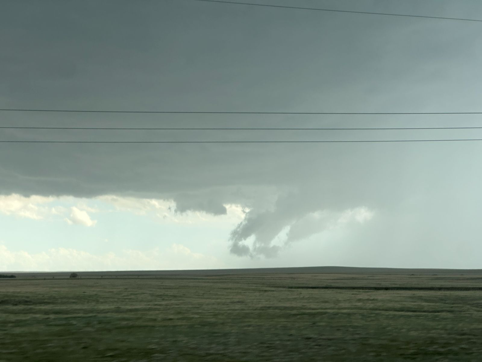
The First Tornado
Well, the first tornado was not very impressive, to say the least. I took some video, saying I didn't see any funnel clouds, but there it was, in the video. It just wasn't prominent enough for me to pay attention to it. After I stopped rolling video, it got a bit larger, but we were too far away for me to call it a tornado. I said I would not call it in. Other people certainly were closer than we were. My decision to stay on pavement, up to this point, cost us a good view of this tornado, although the tornado itself was not very impressive.
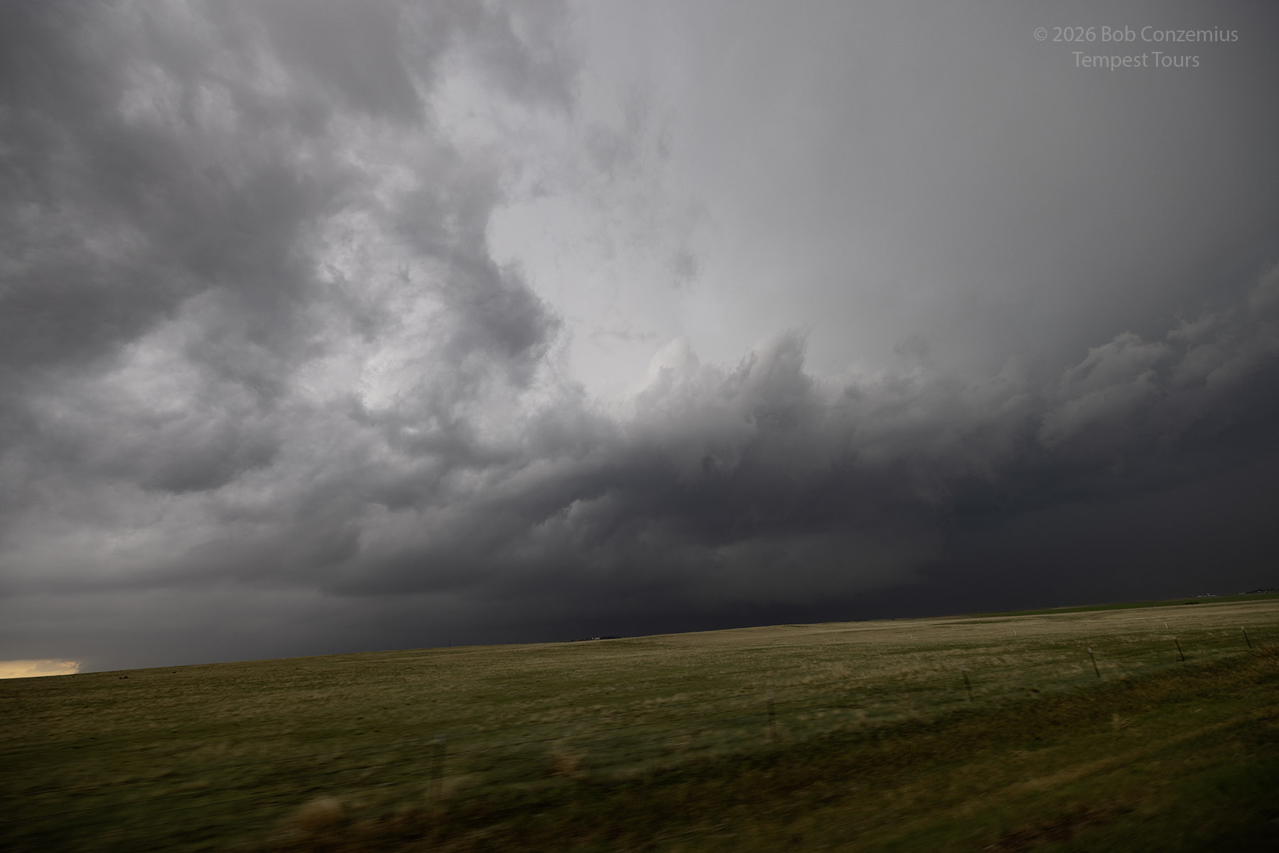
From this point, we had a rapidly intensifying storm merging into our storm from the southeast. This new storm was moving more northward, and we had no options other than to experience the core of this storm. Our next paved road to the south, to get into view of our main supercell storm, led us straight into the core, but we could take slightly smaller hail if we stayed put for a bit and let the hail marker move to our east.
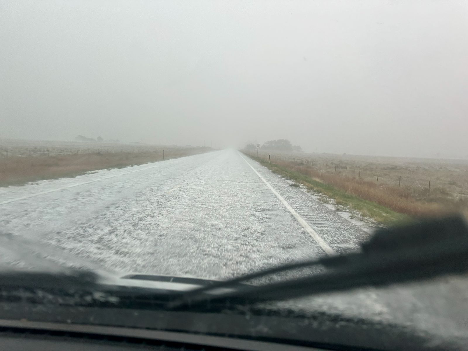
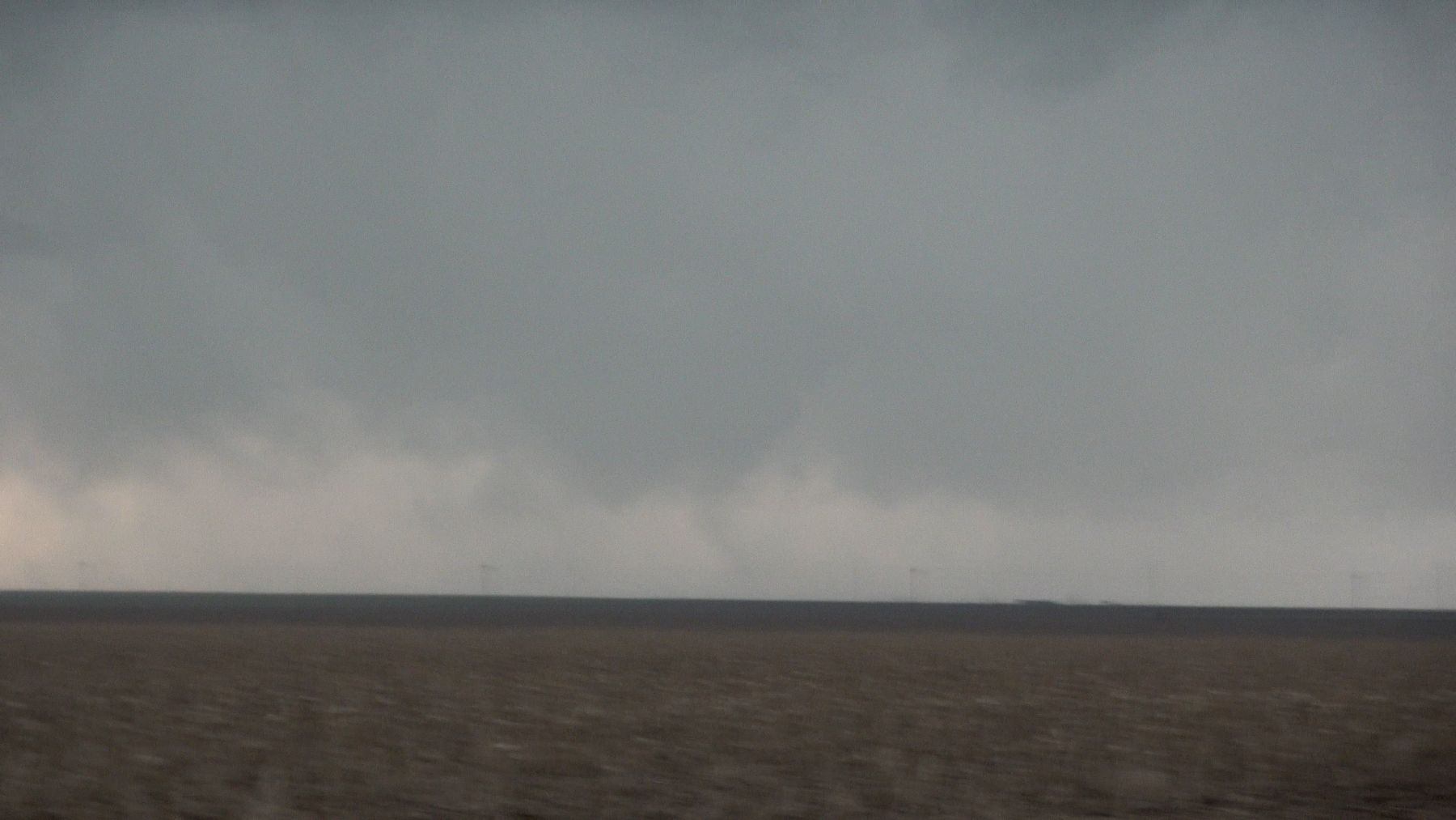
Fortunately, the hail was no larger than 3/4", but it fell quite heavily, and it covered the road. Once we cleared the hail, we were in better position to look west and see the action area of our main supercell. The skies had cleared a bit behind our hail core, but low clouds soon filled back in and gave us a low, stratiform overcast. Those model forecast soundings with small temperature-dewpoint looked accurate now! However, things looked a bit stable. We continued to look for a good vantage point on our storm
The Second Tornado
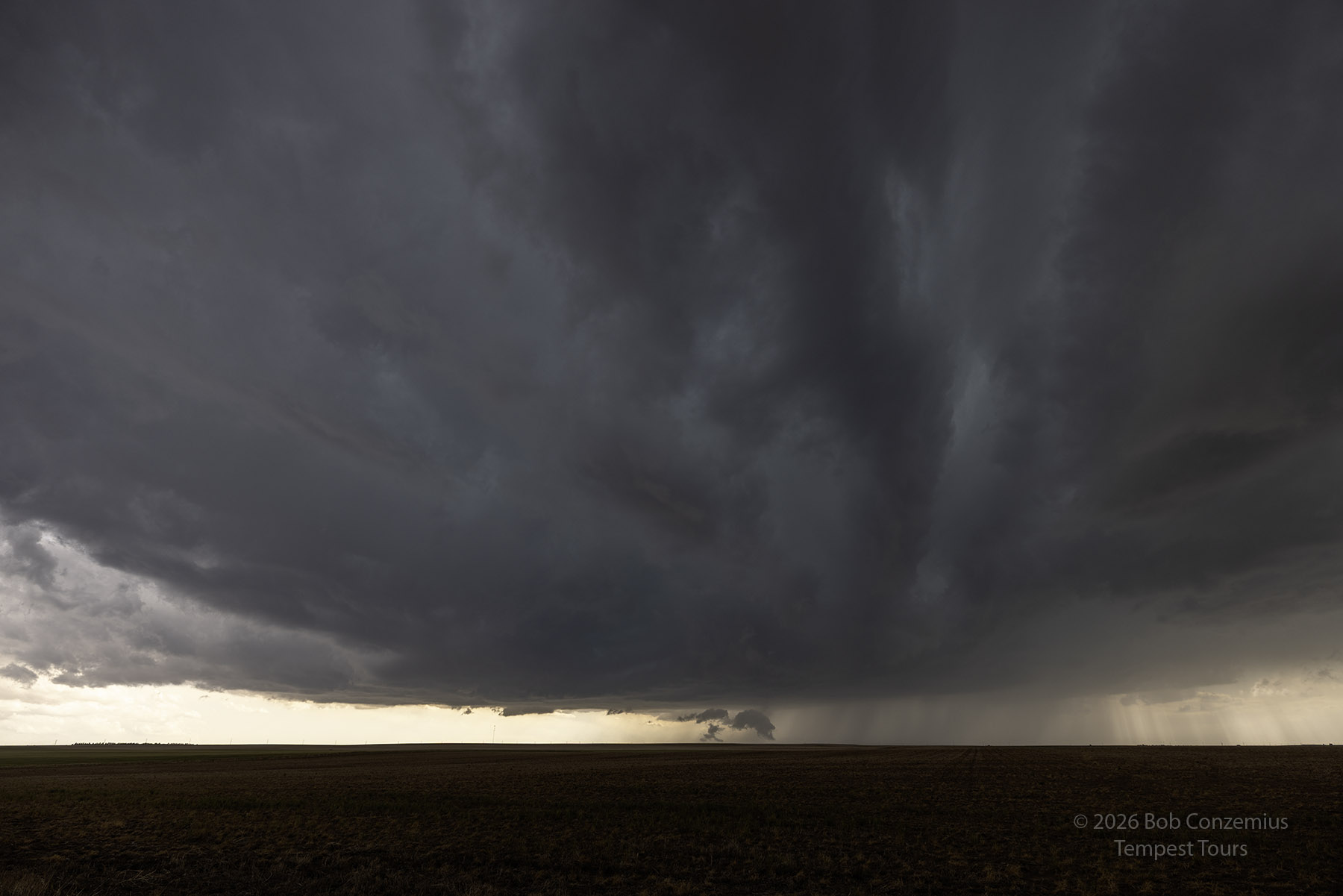
We continued southward then westward to get closer to the mesocyclone of the storm. We were enough in front now to make dirt road options a bit safer, and the visibility was low enough that we had to get closer to see the mesocyclone. Once we got due east, I picked a road, and we headed west.
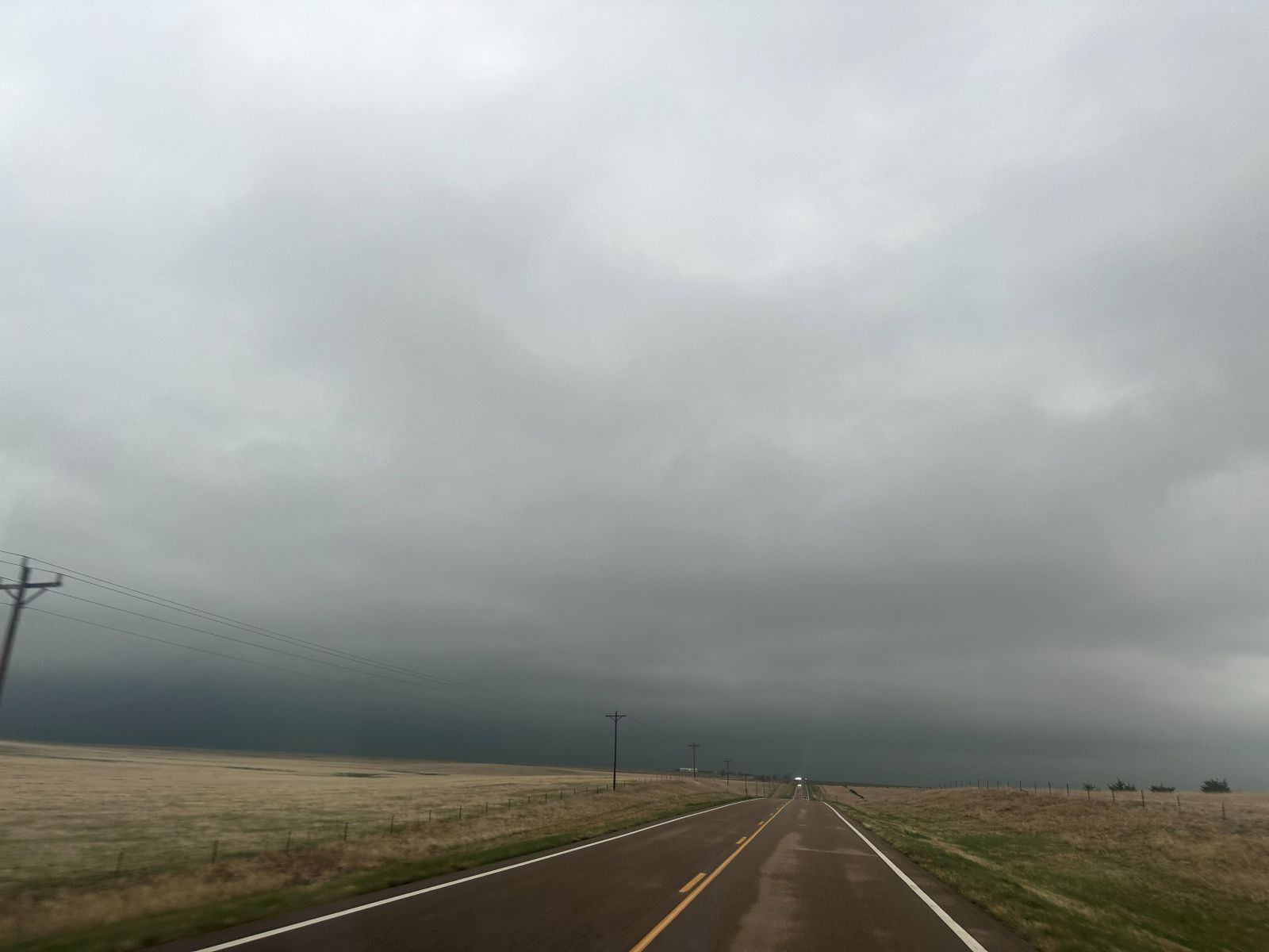
We got a few miles west then started north. I didn't like the low contrast, and I didn't want to take the chance of getting stuck directly in front of the mesocyclone on a poor dirt road, so we went back to the pavement then north again as the mesocyclone got closer.
This time, we were more directly east of it and had better contrast. There was a very large RFD wrapped into the broad mesocyclone. I could not see any intense areas of rotation, but I was also still not particularly close. I got out my video camera and started rolling. I started pointing at the action area, then panned more north and overhead to point out the low clouds overhead, then panned back to the action area. I noticed a more interesting location and asked, "What's that?" I dismissed it as scud, but it was a weak tornado. I'm actually not sure if it was intense enough to cause damage, but it was rotating.
From here, we proceeded eastward with the storm for a while, but it didn't give us any better looks. Tornado warnings continued, but the storm did not look like it would produce any tornadoes stronger than what we had already seen (quite weak). We eventually zig-zagged down to the interstate at Stratton and went east to get to our hotel before the storm did.
Wrap-up
Overall, it was a very nice day. The tornadoes were weak, and the low clouds prevented visibility a bit when the mesocyclone was strong enough to be interesting, but the storm was very interesting to watch.