The Setup
A warm front was moving into northern Minnesota ahead of a low pressure system also moving through the northern part of the state. The warm front was predicted to lift to near Highway 2, and warm, humid air with dewpoints in the 60s was moving into the state. The SPC issued a marginal risk of severe storms along with a risk of tornadoes in parts of northern Minnesota from the Duluth area back to near Cass Lake. The low pressure and trailing cold front were due to arrive right during peak heating in the late afternoon. Seeing this all evolve as forecast, but not having great expectations, I decided to chase in case something interesting happened.
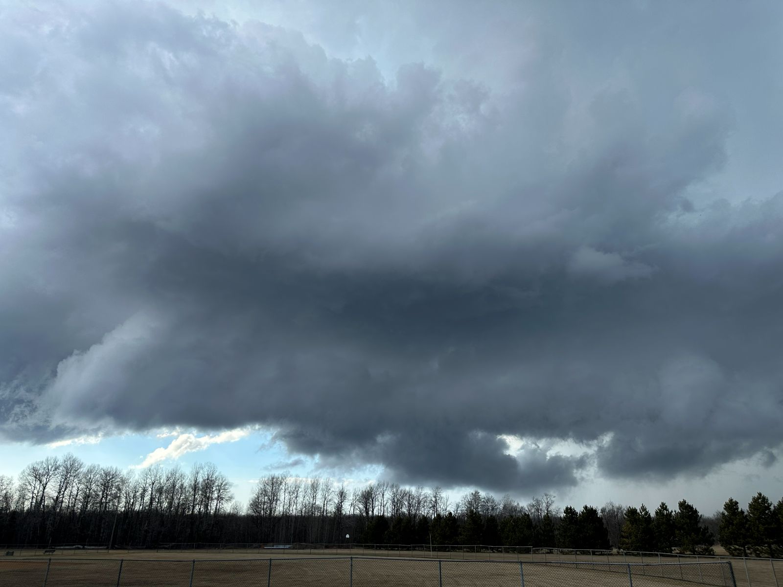
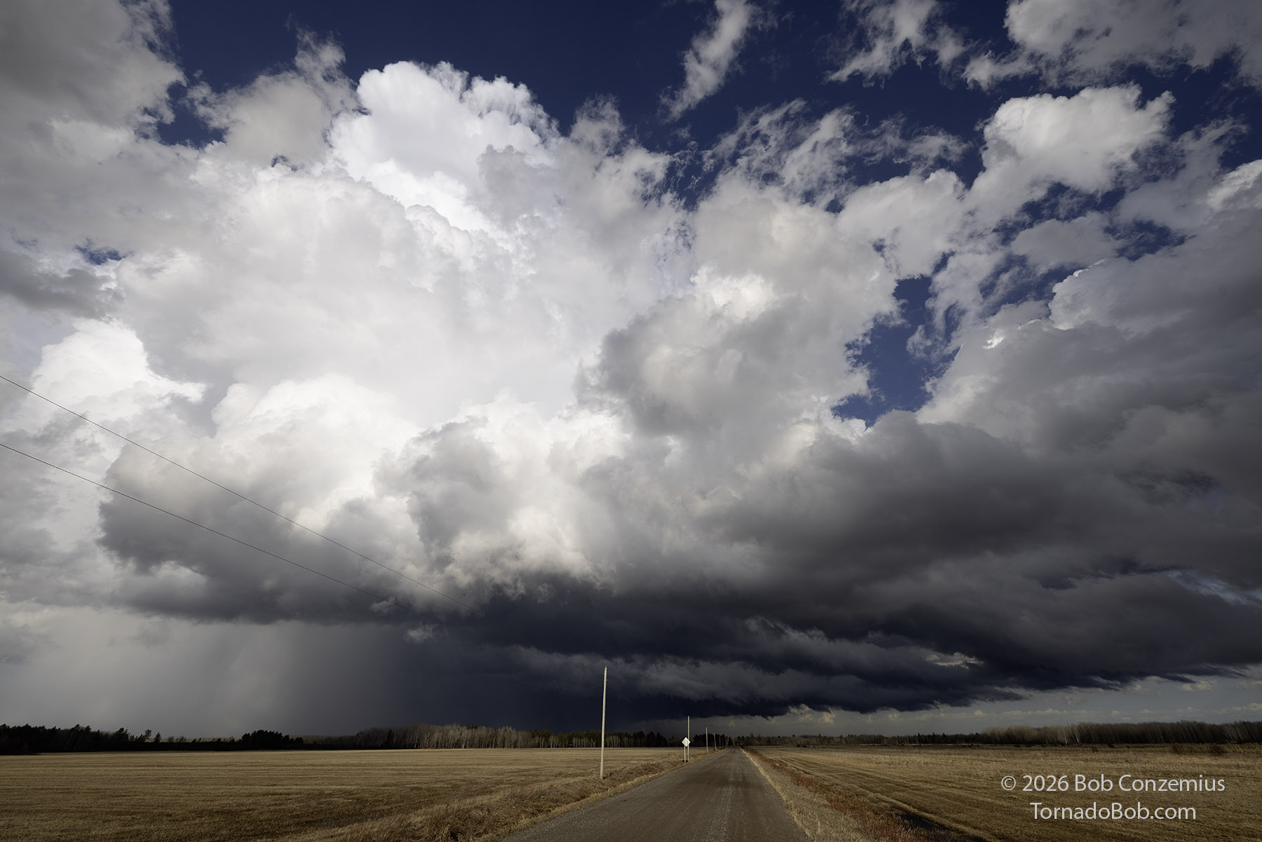
I departed home at 3:33 PM, heading southeast on U.S. 2. Skies had cleared, and the last low clouds associated with the warm front were moving from west-southwest to east-northeast, making me thing the shear was no longer favorable, and so might be the low-level convergence and lift. However, when I got out of town, I saw towering cumulus to the east. I drove to floodwood to get closer to a line of towering cumulus that I thought might soon become storms. However, a storm developed back near Hill City, so I drove back west on Highway 200.
The Chase
Describe the chase itself — storm initiation, your intercept, positioning decisions, what you observed. Write as much or as little as you want. The prose will reflow naturally.
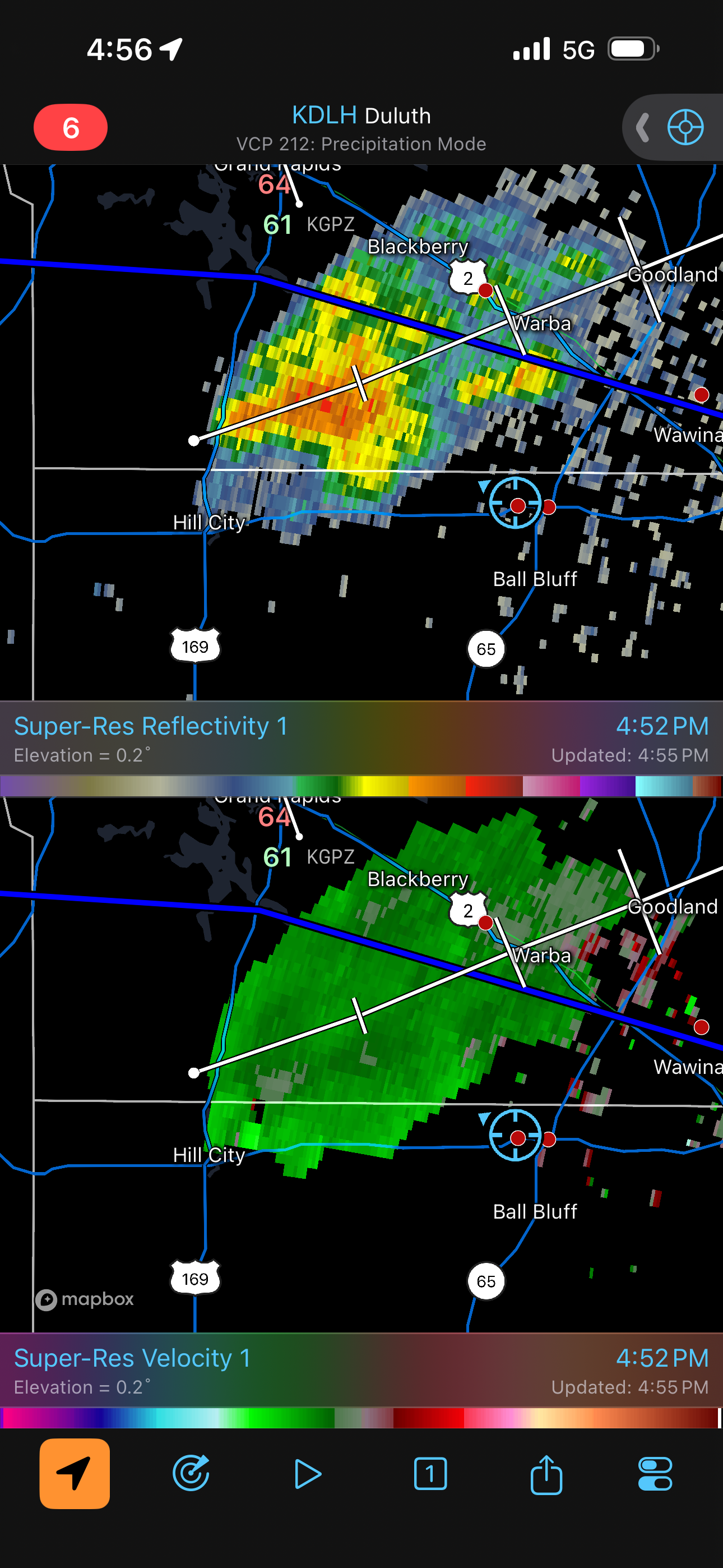
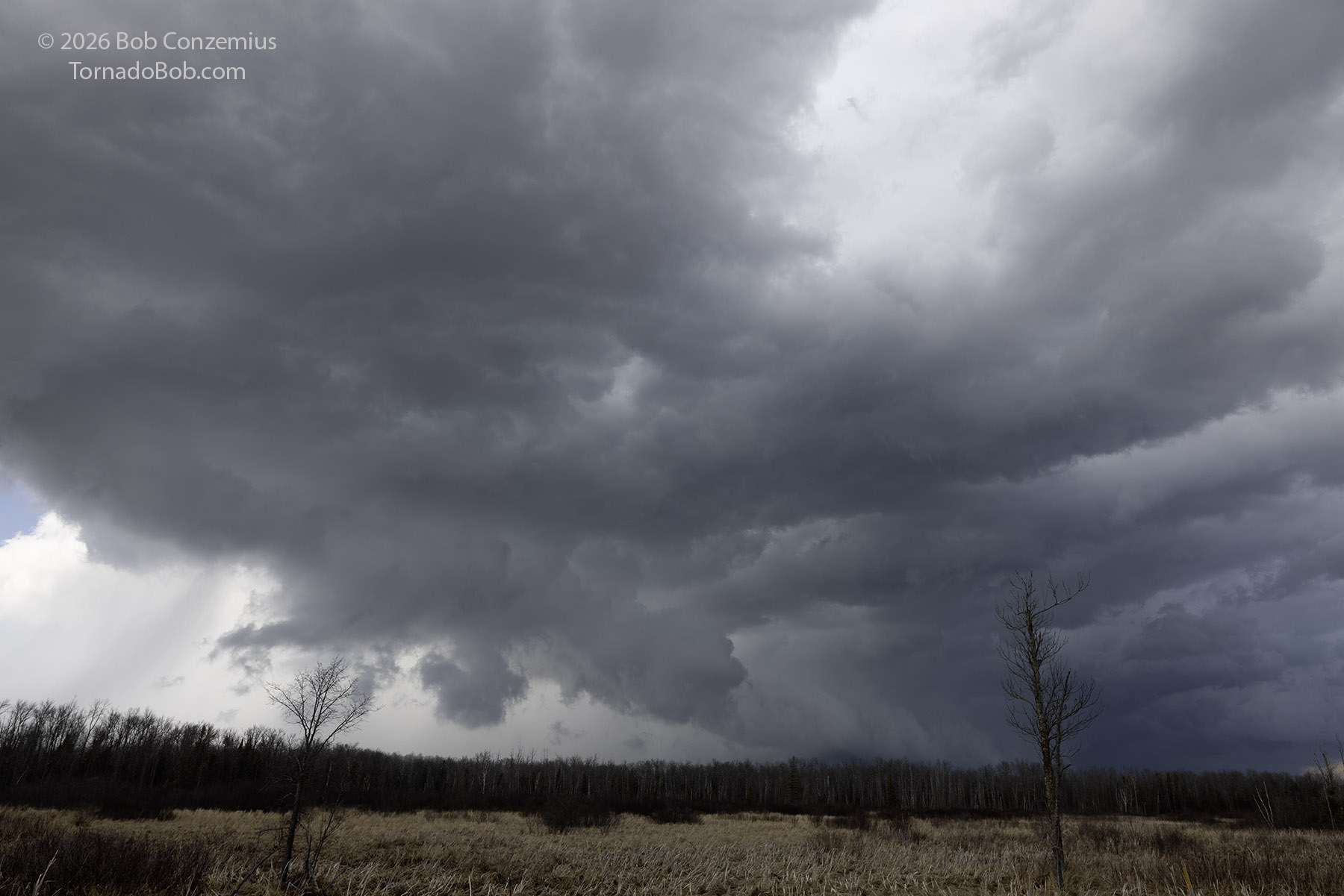
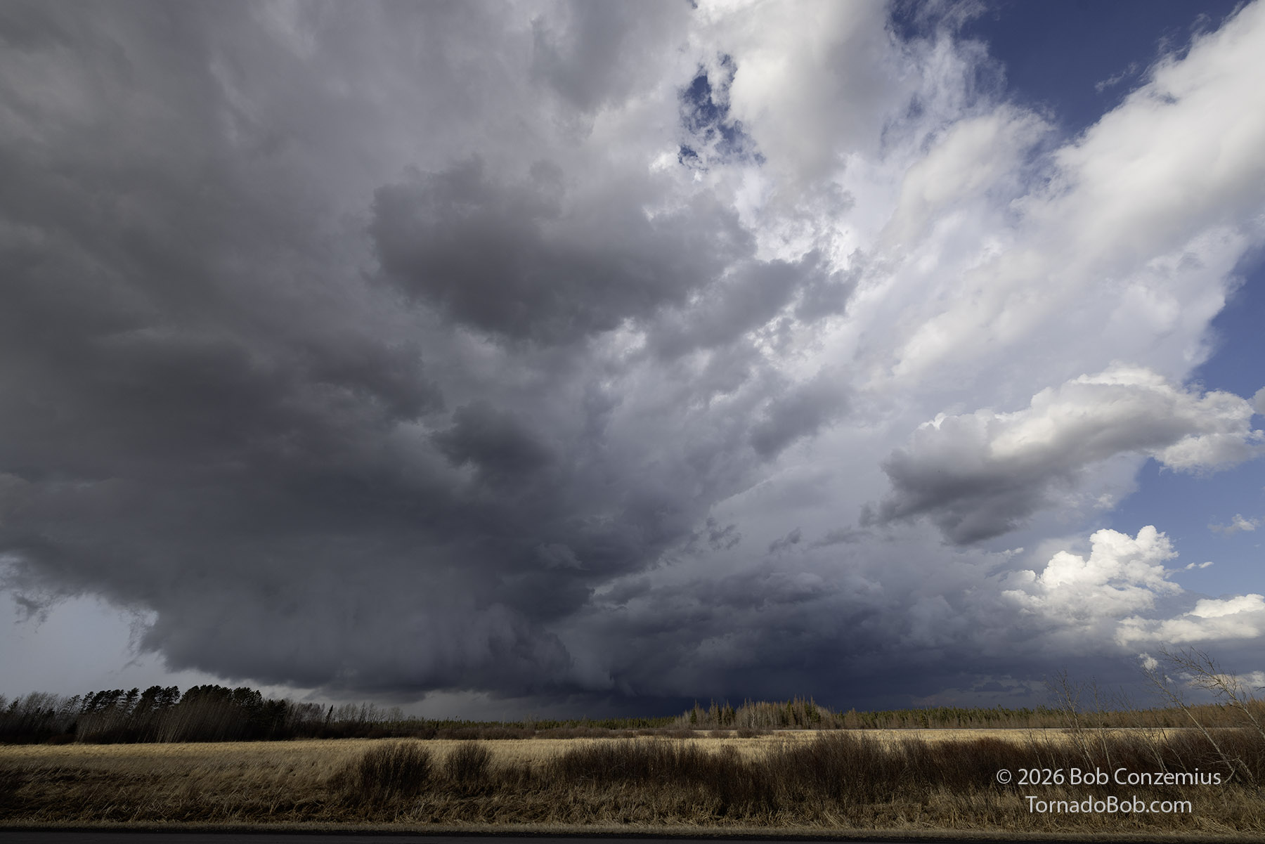
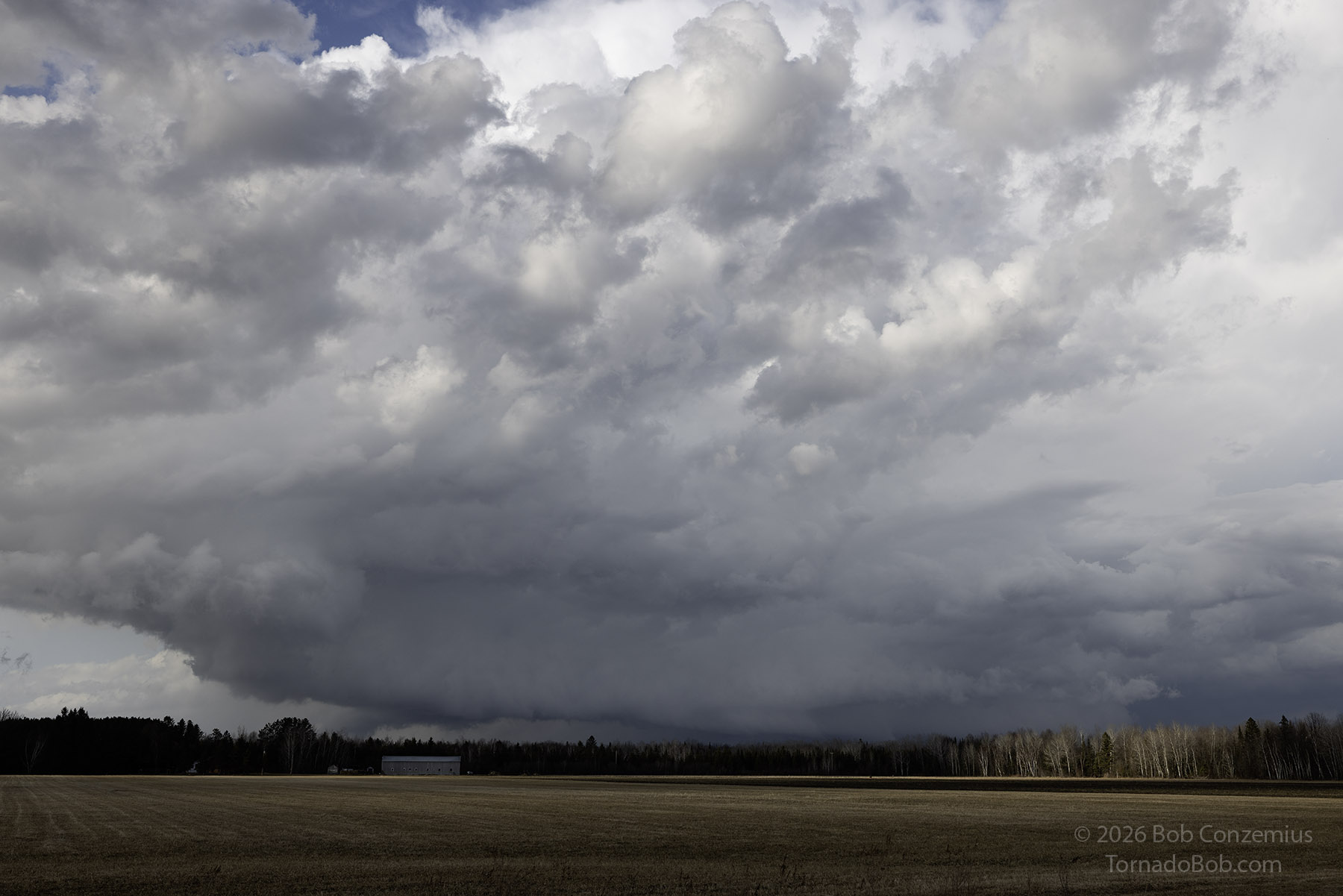
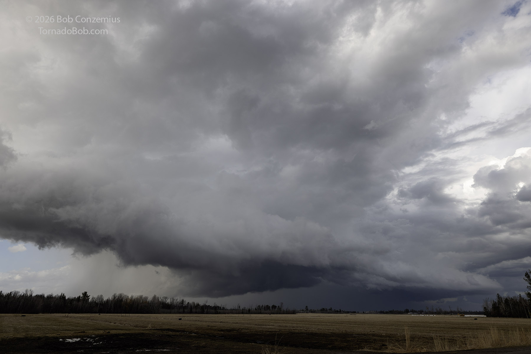
I drove through Jacobson and started back northwest toward Grand Rapids on River Road but only far enough to get a good view of the updraft base. It did not look like anything fancy, so I decided to get in front and back to Highway 2. I started back up Highway 65 toward Swan River, thinking I could make the corner and back southeast on 2 ahead of any hail. However, another core developed farther south, causing me to reroute back east on Highway 200. On the way, I took a shot of the first action area (a wall cloud developed with it) and the second, newer action area (a more ragged wall cloud but with a small area of rotation).
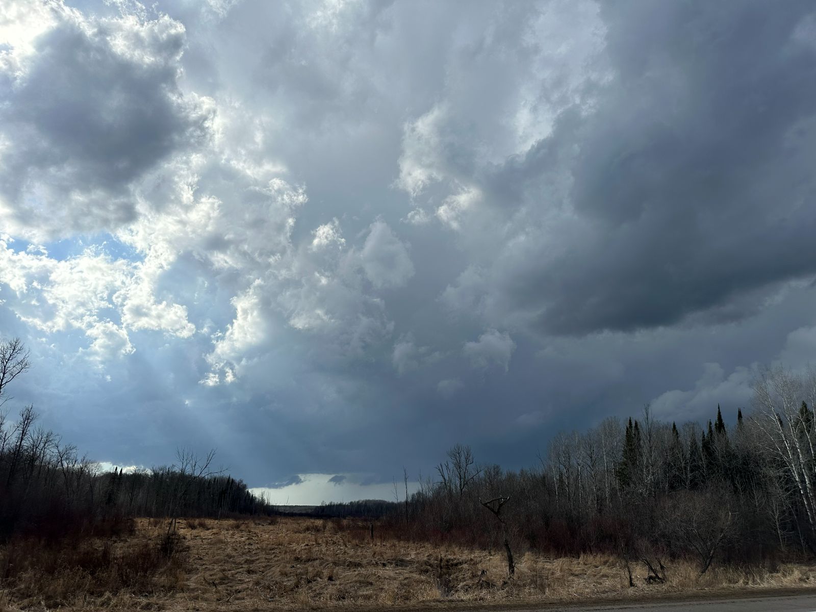
The Wall Clouds
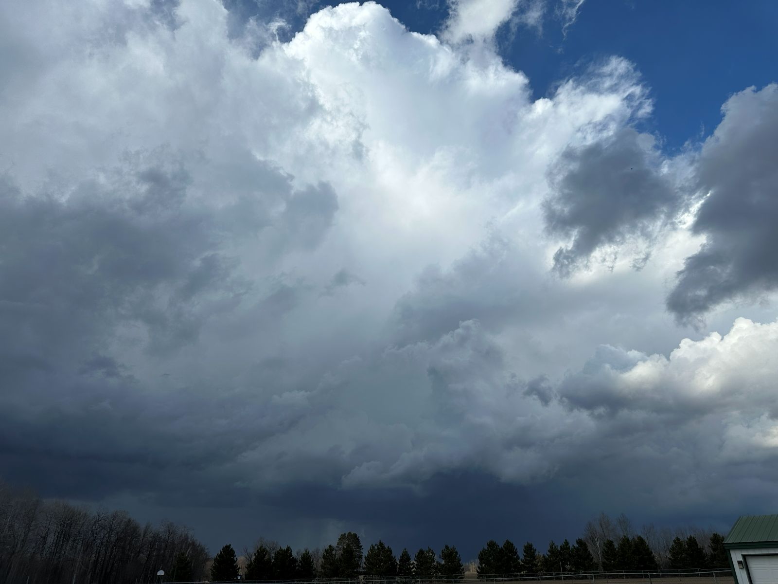
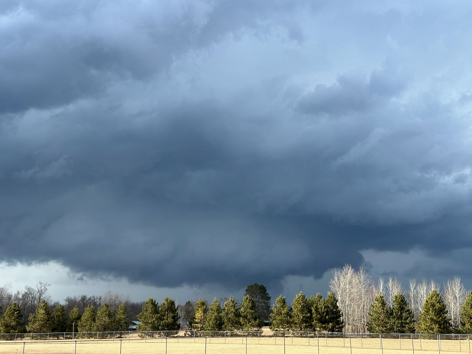
The rotation looked a bit interesting as it moved overhead. It even had a miniature rear flank downdraft. However, it never looked particularly intense, and I also needed to move east to stay ahead of the storm.
Floodwood to Meadowlands
Sax-Zim Bog
Wrap-up
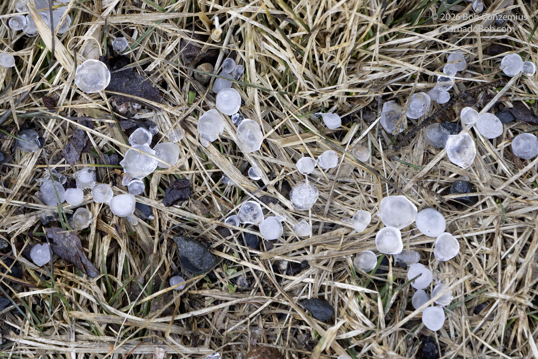
This was a decent first chase-- close to home, and I played the initiation of storms fairly well. I didn't expect much just before the action got going, but there were storms. The only verified report was a 1" hail report. No warnings were issued.