September 17, 2024 Auroras
Coleraine, MN
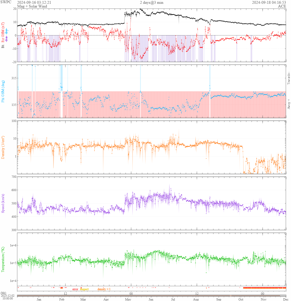
A CME impact brought Bz southward briefly into the mid negative teens. The imapct occurred in early evening, which was perfect timing (I had seen this when looking at solar wind data at the end of mountain bike practice). There were, however, a few thunderstorms off to the northwest and some mid-level clouds in the vicinity. Rather than go southward away from the clouds so I could get clear skies, I decided to hang around much closer to home and take a chance on getting a really good shot of auroras plus a thunderstorm. There was a broken line of storms crossing the northwestern corner of Itasca County. This line extended southwest to northeast, and it was in a great spot for me to photograph storms in the foreground of an aurora shot. I picked the ski jump in Coleraine at Mt Itasca as my shooting location.
The clouds didn't clear as much as I had hoped. The mid-level clouds moved in right before I started shooting, and they were pretty solid for a bit. They became a bit more broken when the auroras started brightening up. They parted enough for me to also see the thunderstorms to the west and northwest. It was fun, but I don't think I got any spectacular shots.
| Auroras suddenly brighten above the clouds to the northeast. |
| The brightest band quickly moves southward and overhead before dissipating. |
| Here is a shot of some remnant auroras and one of the thunderstorms. |
| With my other camera: a thunderstorm to the west sends a lightning bolt while the landscape is brightend a bit by auroras overhead. |
 |
|---|
| The solar wind data shows Bz bottomed out near -18 nT. |